Old Maps of Troy, Montana
Explore 15 old maps of Troy, spanning from 1920 to today. These high-resolution historic maps reveal how streets, neighborhoods, landmarks, and natural features evolved over time — perfect for genealogy, metal detecting, research, and local history exploration.
What you can do with these maps:
- See how Troy changed over time: Compare historical maps to modern-day views to trace roads, homesites, rail lines & more.
- View detailed metadata: Each map includes creators, publishers, year, scale, and archive source.
- Overlay maps with satellite & LiDAR: Visualize the past alongside modern tools to explore terrain & human change.
- Trusted historical sources: Maps sourced from the USGS, Library of Congress, and other archives.
- Access maps your way: View online, download high-res files, or order prints for personal or research use.
Start exploring old maps of Troy to uncover forgotten places, hidden landmarks, and the deep history beneath your feet.
Troy, MT maps
(15)- 1920 Map of Libby
 1920 Libby1920 Print · USGSNorthwest Montana in the early twentieth century shows a landscape shaped by the Great Northern RR and industrial mining. You can locate family landmarks like Morrow Ranch, the Snowstorm Mines, and early post offices at Troy and Heron.
 - 1930 Map of Libby, 1960 Print
 1930 Libby1960 Print · USGSNorthwestern Montana at the opening of the 1930s is a rugged domain of mountain mining and timber camps. Genealogists and researchers can trace early settlers through labels like Old Town, Bull Lake Sch, and high-country operations such as the Snowshoe Mine.
 - 1932 Map of Libby
 1932 Libby1932 Print · USGSThe Kootenai River valley and surrounding mountain ranges are captured here in the early 1930s during the height of the region's mining and timber era. Genealogists and historians can locate remote landmarks like Old Town, the Snowshoe Mine, and early rural schools including Bull Lake Sch.3 unique versions available
 - 1957 Map of Kalispell, 1967 Print
 1957 Kalispell1967 Print · USGSNorthwest Montana in the late fifties showcases a mountain landscape transitioning between wilderness and industry. Genealogists and researchers can trace the Great Northern rail corridor through Kalispell and Whitefish, or locate landmarks like the Montana Soldiers Home and Hungry Horse Reservoir.3 unique versions available
 - 1960 Map of Kalispell
 1960 Kalispell1960 Print · USGSNorthwest Montana in the late fifties is defined by the mountain corridors of the Great Northern Railway and the vast reaches of Glacier National Park. Researchers can trace the legacy of timber and mining towns like Libby, Rexford, and Whitefish, or locate landmarks such as the Snowshoe Mine.
 - 1961 Map of Kalispell
 1961 Kalispell1961 Print · USGSNorthwestern Montana at the start of the 1960s shows a landscape of timber-driven rail towns and the sprawling wild lands of Glacier National Park. Genealogists and historians can trace the route of the Great Northern through mountain passes or locate old settlements like Fortine, Trego, and Warland.
 - 1963 Map of Troy, 1966 Print
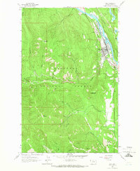 1963 Troy1966 Print · USGSTroy and the surrounding Kootenai National Forest appear here in the early 1960s at a peak of mountain mining and rail activity. Researchers can trace the Great Northern line alongside the river or locate numerous mining sites like the Big Eight Mine and Montana Morning Mine.
 - 1978 Map of Libby, 1993 Print
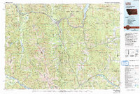 1978 Libby1993 Print · USGSNorthwestern Montana in the late seventies and early eighties shows the impact of the newly formed Koocanusa Lake on the river economy. Genealogists and historians can trace local mining claims like the Snowstorm Mine or find smaller communities such as Happys Inn and White Haven.
 - 1983 Map of Troy, 1984 Print
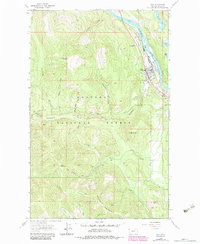 1983 Troy1984 Print · USGSThe riverside community of Troy and its surrounding mining districts are captured here in the early eighties. Researchers can trace deep-woods mining history at the Big Eight Mine, Liberty Mine, and Crescent Tunnel.
 - 1997 Map of Troy, 2000 Print
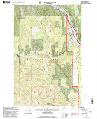 1997 Troy2000 Print · USGSIn the late nineties, the riverside town of Troy remained a critical junction for timber and mining interests along the Kootenai River. Trace the history of local industry through named sites like the Snowstorm Mine, the Burlington Northern railroad, and the Cem.
 - 2011 Map of Troy, 2011 Print
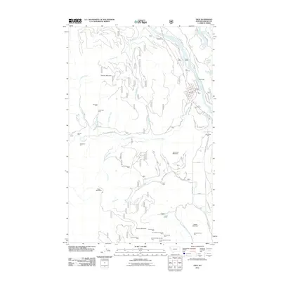 2011 Troy2011 Print · USGSTroy sits at a mountain-bound bend of the Kootenai River in the early 2000s, serving as a gateway to Montana's rugged mining country. Researchers can trace decades of industrial activity at the Snowstorm Mine, Crescent Tunnel, or the Giant Sunrise Mine on the slopes of Grouse Mountain.
 - 2014 Map of Troy, 2014 Print
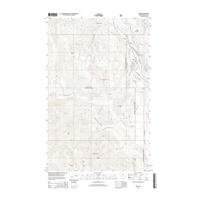 2014 Troy2014 Print · USGSThe town of Troy is captured here in the early twenty-first century, positioned at the confluence of Callahan Cr and the Kootenai River. Genealogists and researchers can trace local landmarks from the Troy Cem to the high-elevation peaks of Goat Mtn and McConnell Mtn.
 - 2017 Map of Troy, 2017 Print
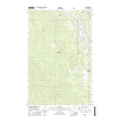 2017 Troy2017 Print · USGSThe Kootenai River valley near Troy serves as a gateway to the Purcell Mountains and national forest lands during the mid-2010s. Researchers can locate local landmarks like the Troy Cemetery or follow the route of the Callahan Historic Trail.
 - 2020 Map of Troy, 2020 Print
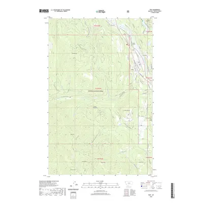 2020 Troy2020 Print · USGSTroy and the Kootenai River valley are captured in detail during the early twenty-first century as they sit nestled between the Purcell and Cabinet Mountains. Local historians can trace the town's street grid, the BNSF Railway corridor, and landmarks like the Troy Cem and Callahan Historic Trail.
 - 2024 Map of Troy, 2024 Print
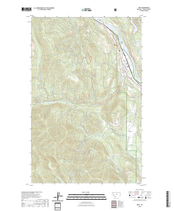 2024 Troy2024 Print · USGSTroy sits at the dramatic meeting of the Kootenai River and the Cabinet Mountains in this contemporary Lincoln County survey. Researchers can trace local landmarks like Troy Cem, navigate the Callahan Historic Trl, or locate peaks such as Grouse Mtn.
End of results
Showing maps 1-15 of 15
Frequently asked questions
- What are the different types of historical maps available for Troy?
- What is the oldest map of Troy?
- Where can I purchase historical maps of Troy for my home or office?
- Where can I download high-res historical maps of Troy?
- Are there historical topographic maps available for Troy?
- Is there historical aerial imagery available for Troy?
- Where are historical maps of Troy sourced from?