2010s Maps of Lodge Pole District, Montana
Explore 27 historic maps of Lodge Pole District from the 2010s. These maps offer a rare glimpse into what life looked like during the 2010s — showing old roads, neighborhoods, homes, and landmarks that have changed or disappeared over time.
Whether you're researching your family's past, planning a metal detecting trip, or studying how Lodge Pole District's landscape evolved across the 2010s, these high-resolution maps are a powerful tool for exploring the history of this region.
- Focus on a specific era: All maps on this page are from the 2010s, giving you a focused view of this time period.
- See what’s changed: Compare century-old streets, trails, and buildings to today's modern landscape using overlays and satellite layers.
- Research with precision: Use these maps for genealogy, historical research, land use analysis, or educational projects.
- View, download, or print: Maps are fully viewable online in high resolution, and can be downloaded or printed for your own records.
Start exploring Lodge Pole District's history through authentic maps from the 2010s. This is your window into the past.
Lodge Pole District, MT maps
(27)- 2011 Map of Coburn Butte, 2011 Print
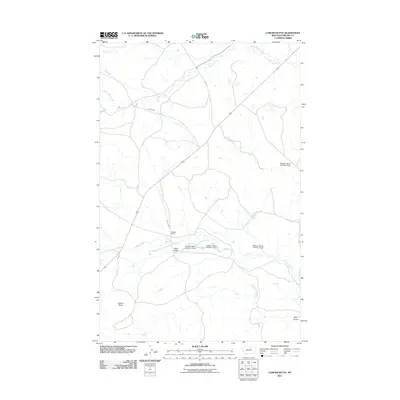 2011 Coburn Butte2011 Print · USGSPhillips County ranching operations are mapped here in the early twenty-first century, showcasing a landscape defined by water management. You can trace the complex network of the Matador Ranch system, including Coburn Ditch and several numbered dams.
 - 2011 Map of Bear Mountain, 2011 Print
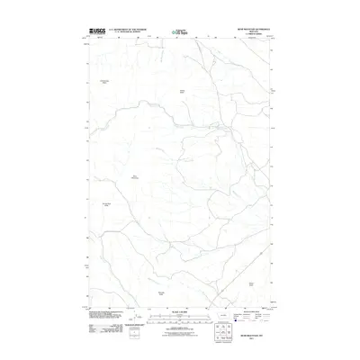 2011 Bear Mountain2011 Print · USGSThe Lodge Pole District of Montana is seen here in the early twenty-first century, a landscape defined by isolated peaks and seasonal drainages. Researchers can trace the terrain from Bear Mountain to named landmarks like Coming Day Butte and Travois Butte.
 - 2011 Map of Zortman, 2011 Print
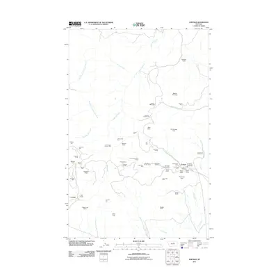 2011 Zortman2011 Print · USGSZortman and Landusky appear at a peak of modern mining activity in these Montana highlands. Researchers can trace the extensive legacy of extraction through dozens of named sites, including the August Mine, Zortman Cemetery, and Ruby Gulch Tailings.
 - 2011 Map of Big Flat West, 2011 Print
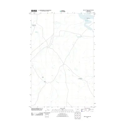 2011 Big Flat West2011 Print · USGSBig Flat West in the early 21st century is defined by the vital water infrastructure of the Lodge Pole District. Researchers can trace the path of Indian Hwy 8 and locate specific engineered sites like the Weigand Reservoir and Fort Belknap Number 16 Dam.
 - 2011 Map of Lodge Pole NE, 2011 Print
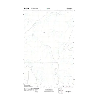 2011 Lodge Pole NE2011 Print · USGSThe Lodge Pole District in Blaine County comes into focus in this contemporary survey of the Montana plains. Researchers can trace the courses of Peoples Creek and Lodge Pole Creek alongside regional landmarks like Black Butte.
 - 2011 Map of Lodge Pole, 2011 Print
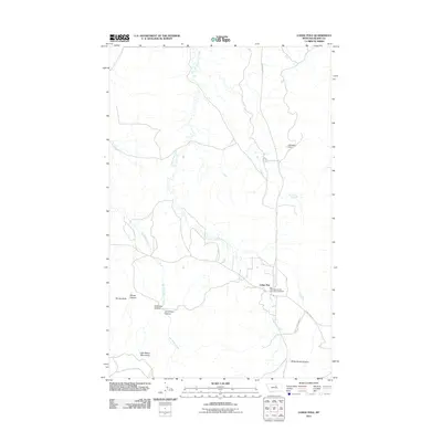 2011 Lodge Pole2011 Print · USGSThe Lodge Pole District in the early twenty-first century is captured here as the landscape rises into the northern Little Rocky Mountains. Local historians can trace the road network connecting Lodge Pole to outlying landmarks like Kirkaldie Dam and Blackbull Spring.
 - 2011 Map of Ester Lake, 2011 Print
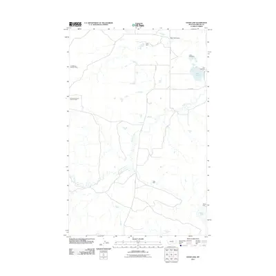 2011 Ester Lake2011 Print · USGSPhillips County ranchlands and Fort Belknap reservation territory are documented in this early 21st-century survey. Researchers can trace essential water infrastructure from Early Bird Dam to the namesake Ester Lake and the open expanses of Parrot Flat.
 - 2011 Map of Big Flat East, 2011 Print
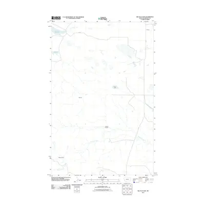 2011 Big Flat East2011 Print · USGSThe open plains of Phillips County are captured here in the early twenty-first century, showing a landscape defined by water management and vast rangelands. Local historians can trace the paths of Wild Horse Creek and Chicken Coulee, or locate infrastructure like JFK Dam.
 - 2011 Map of Ball Coulee, 2011 Print
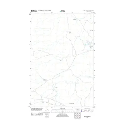 2011 Ball Coulee2011 Print · USGSIn the early twenty-first century, this Lodge Pole district landscape showcases a network of water management and local heritage sites. Genealogists and historians can trace family connections at Messerly Cemetery and Kirkaldie Cemetery or locate the Government Field Reservoir.
 - 2014 Map of Lodge Pole NE, 2014 Print
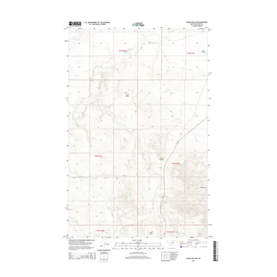 2014 Lodge Pole NE2014 Print · USGSThe Lodge Pole District of Montana is shown here in the early twenty-first century, featuring the drainage systems of the high plains. Genealogists and researchers can trace the routes of BIA-129 and BIA-8 past landmarks like Black Butte and Corral Coulee.
 - 2014 Map of Big Flat East, 2014 Print
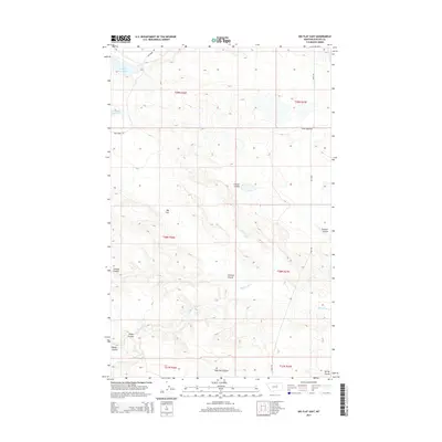 2014 Big Flat East2014 Print · USGSThe Lodge Pole District's high plains and drainage systems are detailed here in the early twenty-first century. Researchers can trace historic transit routes like Stage Coach Rd and local landmarks such as Weigand Reservoir and Tressler Coulee.
 - 2014 Map of Ball Coulee, 2014 Print
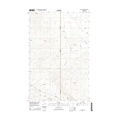 2014 Ball Coulee2014 Print · USGSNorth-central Montana’s high-plains geography is documented here in the early twenty-first century, highlighting rural tribal and ranching lands. Genealogists can locate family burial sites such as Messerly Cem and Kirkaldie Cem along the Lodge Pole Rd.
 - 2014 Map of Big Flat West, 2014 Print
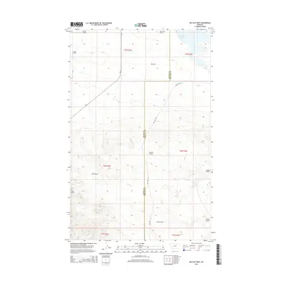 2014 Big Flat West2014 Print · USGSThe high prairie of the Big Flat region is captured here in the early twenty-first century along the Blaine and Phillips County line. Researchers can trace the complex network of drainage landforms like Wolf Coulee and Chicken Coulee, or locate the isolated Weigand Reservoir.
 - 2014 Map of Ester Lake, 2014 Print
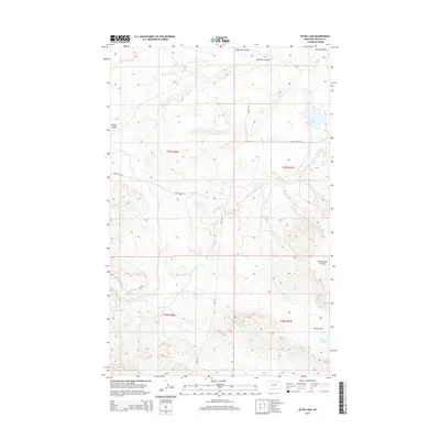 2014 Ester Lake2014 Print · USGSThe northern Montana plains near Lodge Pole come into focus during the early twenty-first century. Researchers can trace historic local travel routes like Stage Rd and identify old community landmarks such as Schoolhouse Coulee and Ester Lake.
 - 2014 Map of Lodge Pole, 2014 Print
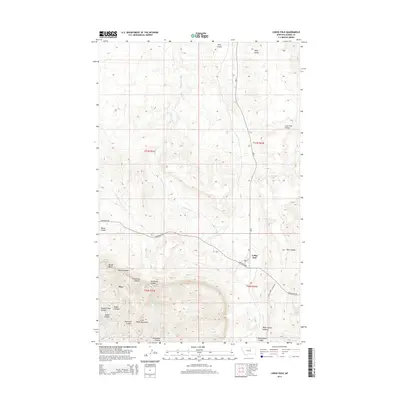 2014 Lodge Pole2014 Print · USGSThe foothills of the Little Rocky Mountains define the landscape in this 2014 Montana survey. Genealogists and local historians can trace the roads and canyons surrounding Lodge Pole, Hays, and the remote Blackbull Spring.
 - 2014 Map of Coburn Butte, 2014 Print
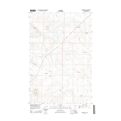 2014 Coburn Butte2014 Print · USGSThe Lodge Pole District of Montana in the early twenty-first century reveals a remote landscape of high ridges and deep coulees. Researchers can trace the water and transport networks of this high-plains country through features like Coburn Ditch, Bear Gulch, and Coburn Butte.
 - 2014 Map of Bear Mountain, 2014 Print
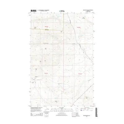 2014 Bear Mountain2014 Print · USGSNear the base of the Little Rocky Mountains in the 2010s, this area shows a landscape of isolated buttes and small rural settlements. Researchers can trace the layout of Zortman, locate landmarks like Coming Day Butte, or follow the drainage of Big Warm Cr and Beaver Cr.
 - 2014 Map of Zortman, 2014 Print
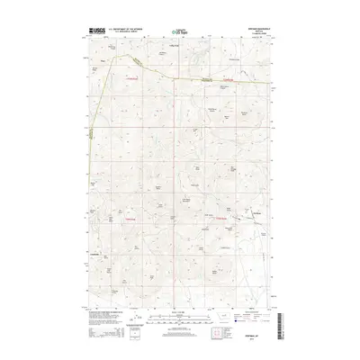 2014 Zortman2014 Print · USGSThe Little Rocky Mountains of north-central Montana are shown here in the early twenty-first century, spanning the border of Blaine and Phillips counties. Researchers can locate the historic mining-era towns of Zortman and Landusky, as well as the Zortman Cemetery and Antoine Butte.
 - 2017 Map of Big Flat West, 2017 Print
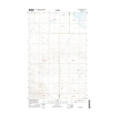 2017 Big Flat West2017 Print · USGSBig Flat and the surrounding rangelands along the Blaine and Phillips county line are mapped here in the late twenty-tens. Researchers can trace the drainage patterns of Wolf Coulee and Rocky Coulee or locate the Weigand Reservoir and Big Flat.
 - 2017 Map of Big Flat East, 2017 Print
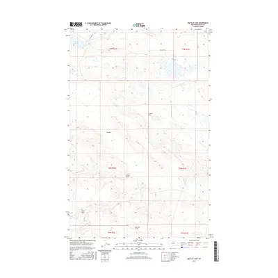 2017 Big Flat East2017 Print · USGSPhillips County's high plains are captured here in the late twenty-teens, showing a landscape defined by ranching life and prairie drainage. Researchers can trace historic routes like Stage Coach Rd or locate water features such as Weigand Reservoir and Wild Horse Creek.
 - 2017 Map of Ball Coulee, 2017 Print
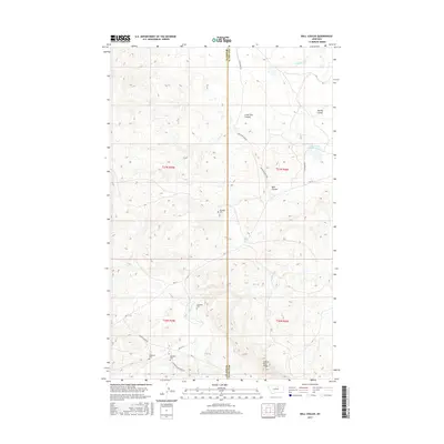 2017 Ball Coulee2017 Print · USGSThe borderlands of Blaine and Phillips County are captured here in the early twenty-first century, showing a landscape shaped by remote ranching and family homesteads. Researchers can locate distinct family markers like Messerly Cem and Kirkaldie Cem along rural routes like Rte 11.
 - 2017 Map of Ester Lake, 2017 Print
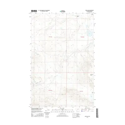 2017 Ester Lake2017 Print · USGSPhillips County's open rangeland is documented here during the late twenty-first century, showing the drainage systems of the Lodge Pole District. Researchers can trace the paths of Big Warm Cr and Schoolhouse Coulee or locate Parrot Lake on Parrot Flat.
 - 2017 Map of Lodge Pole, 2017 Print
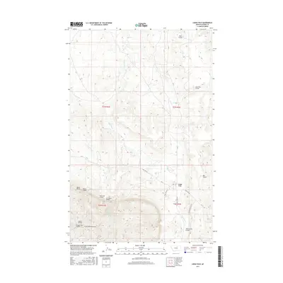 2017 Lodge Pole2017 Print · USGSThe northern foothills of the Little Rocky Mountains define the landscape around the settlement of Lodge Pole in the late twenty-teens. Genealogists and local historians can trace family-named landmarks and drainages including Mouse Butte, Jim Brown Cr, and White Horse Canyon.
 - 2017 Map of Lodge Pole NE, 2017 Print
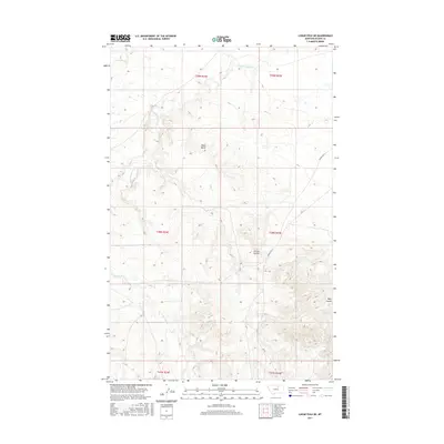 2017 Lodge Pole NE2017 Print · USGSBlaine County in 2017 remains a landscape of prominent high points and deep coulees centered on the Lodge Pole District. Researchers can trace the winding paths of Peoples Cr or locate specific sections near Black Butte and Corral Coulee.
 - 2017 Map of Coburn Butte, 2017 Print
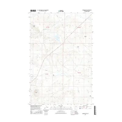 2017 Coburn Butte2017 Print · USGSPhillips County ranching country and the Lodge Pole District are detailed in this recent survey of the Montana plains. Researchers can trace land use through features like Coburn Ditch, Judith River Ridge, and the winding path of Little Warm Cr.
Showing maps 1-25 of 27
Top neighborhoods of Lodge Pole District
Frequently asked questions
- What are the different types of historical maps available for Lodge Pole District?
- What is the oldest map of Lodge Pole District?
- Where can I purchase historical maps of Lodge Pole District for my home or office?
- Where can I download high-res historical maps of Lodge Pole District?
- Are there historical topographic maps available for Lodge Pole District?
- Is there historical aerial imagery available for Lodge Pole District?
- Where are historical maps of Lodge Pole District sourced from?