Old Maps of Lodge Pole District, Montana for Hiking & Exploration
Hike through history with 62 historic maps of Lodge Pole District. Explore old trails, ghost towns, and forgotten backroads — perfect for outdoor adventurers and local explorers.
- Rediscover forgotten places: Map out old mining camps, roads, and footpaths that no longer exist on modern maps.
- Layer with modern tools: Combine with LiDAR or satellite views to plan hikes through historical terrain.
- Made for exploration: Popular among hikers, overlanders, and local history lovers.
Use these maps to find adventure and explore the hidden past of Lodge Pole District.
Lodge Pole District, MT maps
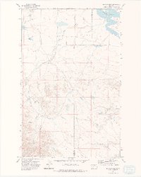
(62)- 1943 Map of Landusky
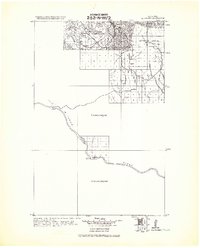 1943 Landusky1943 Print · USGSPhillips County during the early 1940s is shown here as a landscape of isolated mountain settlements and the wild Missouri Breaks. Researchers can trace the layout of Landusky, the mountain peaks of the Jefferson National Forest, and river landmarks such as Cow Island.
 - 1953 Map of Havre, 1967 Print
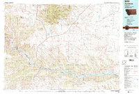
 1953 Havre1967 Print · USGSNorthern Montana’s Hi-Line comes into focus in the mid-fifties, centered on the Milk River and the critical Great Northern rail link. Genealogists can trace small sidings and settlements like Assinniboine, Laredo, and Box Elder alongside the Fort Belknap Agency.3 unique versions available
 - 1954 Map of Lewistown, 1967 Print
 1954 Lewistown1967 Print · USGSCentral Montana at the height of the mid-century rail era reveals a landscape shaped by the Judith River and high mountain ranges. Trace the old lines of the Great Northern through Lewistown and Denton, or locate sites like Giltedge and Landusky.3 unique versions available
 - 1957 Map of Havre
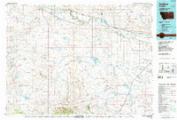
 1957 Havre1957 Print · USGSNorth-central Montana at the mid-century is defined by the vital Great Northern rail corridor and the winding Milk River. Researchers can trace old settlements like Laredo and Savoy, or locate historic sites such as the Hays (old) Sub Agency and the Chinook No 1 mine.
 - 1958 Map of Havre
 1958 Havre1958 Print · USGSUpper Montana in the late fifties was a landscape of remote rail towns and vast high-plain ranges. Genealogists and historians can trace the Great Northern railroad through Havre, Chinook, and the Fort Belknap Indian Reservation.
 - 1959 Map of Lewistown
 1959 Lewistown1959 Print · USGSCentral Montana in the mid-1950s shows a landscape defined by the winding Missouri River and the rise of the South Moccasin Mtns. Researchers can trace the rail lines of the Great Northern through towns like Winifred and locate the Cat Creek Oil Field.3 unique versions available
 - 1971 Map of Big Flat East, 1974 Print
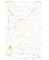
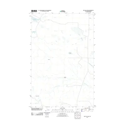
 1971 Big Flat East1974 Print · USGSThe high plains of Phillips County and the eastern edge of the Fort Belknap Indian Reservation are documented here in the early 1970s. Researchers can trace the boundaries of the Fort Belknap Indian Reservation Boundary and drainage systems like Tressler Coulee and Wild Horse Creek.
 - 1971 Map of Bear Mountain, 1974 Print
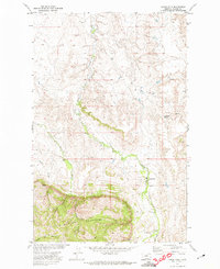
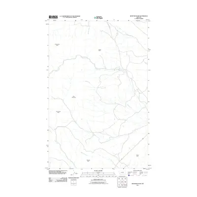
 1971 Bear Mountain1974 Print · USGSThe Little Rocky Mountains of north-central Montana are shown in the early 1970s, where tribal lands meet high-country drainages. Researchers can trace the Fort Belknap Indian Reservation Boundary and locate local landmarks like the Baker Creek School and Burned Man Cave.
 - 1971 Map of Lodge Pole NE, 1974 Print
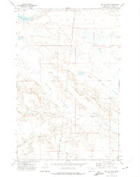
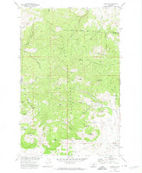
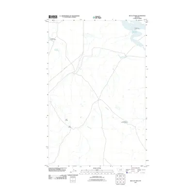
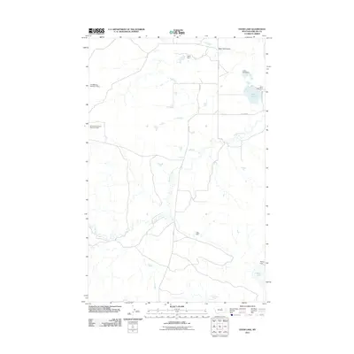
 1971 Lodge Pole NE1974 Print · USGSThe Fort Belknap Indian Reservation in northern Montana appears here in the early 1970s, showcasing its complex drainage patterns. Genealogists and historians can trace the paths of Peoples Creek, Lodge Pole Creek, and the prominent landmark of Black Butte.
 - 1971 Map of Lodge Pole, 1974 Print
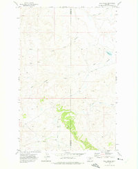
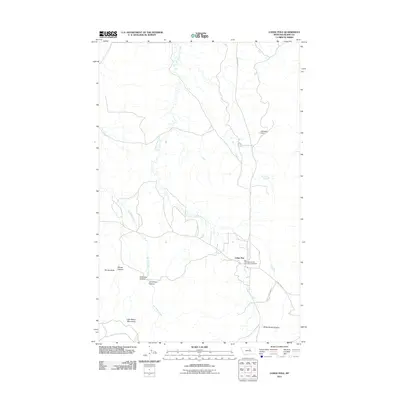
 1971 Lodge Pole1974 Print · USGSThe Fort Belknap Indian Reservation is documented here in the early 1970s as it meets the northern foothills of the Little Rockies. Local researchers can trace family landmarks and water sources like Lodge Pole, Black Bull Spring, and Mouse Butte.
 - 1971 Map of Zortman, 1974 Print
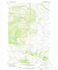
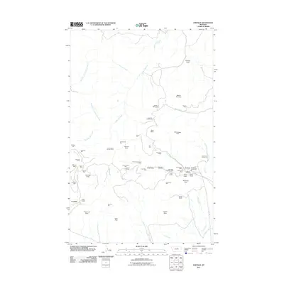
 1971 Zortman1974 Print · USGSThe Little Rocky Mountains of Montana are captured in the early 1970s, showcasing a landscape shaped by persistent mining and high-elevation terrain. Researchers can trace the layout of mining camps like Zortman and Landusky alongside shafts such as the Little Ben Mine and Gold Bug Mine.
 - 1971 Map of Coburn Butte, 1974 Print
 1971 Coburn Butte1974 Print · USGSPhillips County ranchlands and the reservation border are documented here during the early seventies. Local historians can trace the irrigation of Coburn Ditch and the grounds of Matador Ranch near Coburn Butte.
 - 1971 Map of Ball Coulee, 1975 Print
 1971 Ball Coulee1975 Print · USGSThe Fort Belknap Indian Reservation in north-central Montana is shown in the early 1970s, focused on the breaks of the Judith River. Genealogists can locate several remote burial sites, including Messerly Cem, Kirkaldie Cem, and Chopwood Cem.
 - 1971 Map of Ester Lake, 1975 Print
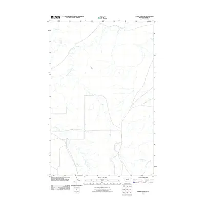
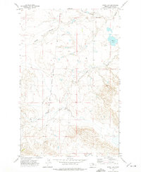 1971 Ester Lake1975 Print · USGSPhillips County ranchlands meet the Fort Belknap Indian Reservation Boundary in the early 1970s. Trace the seasonal waterways of Big Warm Creek and Sage Hen Coulee or locate the namesake Ester Lake.
 - 1971 Map of Big Flat West, 1975 Print
 1971 Big Flat West1975 Print · USGSThe high plains of the Fort Belknap Indian Reservation are documented here in the early 1970s, showing the intersection of Blaine and Phillips counties. Researchers can trace the drainage of Big Flat through the network of Weigand Reservoir, Lone Tree Coulee, and Corral Coulee.2 unique versions available
 - 1984 Map of Zortman
 1984 Zortman1984 Print · USGSCentral Montana in the mid-eighties shows a vast landscape of tribal lands and protected wilderness along the Missouri River breaks. Genealogists and historians can trace the remote settlements of Zortman and Landusky or locate landmarks like Mission Peak and D V Junction.
 - 1984 Map of Dodson, 1985 Print
 1984 Dodson1985 Print · USGSNorthern Montana ranching and reservation life are captured here in the mid-eighties as the Milk River valley sustains a string of railroad towns. Researchers can locate historic sites like Graveyard Hill, the Fort Belknap Agency, and several rural schoolhouses.
 - 2011 Map of Coburn Butte, 2011 Print
 2011 Coburn Butte2011 Print · USGSCovers Lodge Pole District, including Phillips County, United States, and other nearby areas
 - 2011 Map of Bear Mountain, 2011 Print
 2011 Bear Mountain2011 Print · USGSCovers Lodge Pole District, including Blaine County, Phillips County, and other nearby areas
 - 2011 Map of Zortman, 2011 Print
 2011 Zortman2011 Print · USGSCovers Lodge Pole District, including Lodge Pole, Hays District, and other nearby areas
 - 2011 Map of Big Flat West, 2011 Print
 2011 Big Flat West2011 Print · USGSCovers Lodge Pole District, including Agency District, Dosdon District, and other nearby areas
 - 2011 Map of Lodge Pole NE, 2011 Print
 2011 Lodge Pole NE2011 Print · USGSCovers Lodge Pole District, including Agency District, Hays District, and other nearby areas
 - 2011 Map of Lodge Pole, 2011 Print
 2011 Lodge Pole2011 Print · USGSCovers Lodge Pole District, including Lodge Pole, Hays District, and other nearby areas
 - 2011 Map of Ester Lake, 2011 Print
 2011 Ester Lake2011 Print · USGSCovers Lodge Pole District, including Phillips County, United States, and other nearby areas
 - 2011 Map of Big Flat East, 2011 Print
 2011 Big Flat East2011 Print · USGSCovers Lodge Pole District, including Dosdon District, Phillips County, and other nearby areas
Showing maps 1-25 of 62
Top neighborhoods of Lodge Pole District
Frequently asked questions
- What are the different types of historical maps available for Lodge Pole District?
- What is the oldest map of Lodge Pole District?
- Where can I purchase historical maps of Lodge Pole District for my home or office?
- Where can I download high-res historical maps of Lodge Pole District?
- Are there historical topographic maps available for Lodge Pole District?
- Is there historical aerial imagery available for Lodge Pole District?
- Where are historical maps of Lodge Pole District sourced from?