
1971 Map of Big Flat East
USGS Topo · Published 1974About this map
The Fort Belknap Indian Reservation Boundary runs vertically through this portion of Phillips County, Montana, separating the reservation lands to the west from the public and private tracts to the east. This landscape is defined by the expansive Big Flat, an elevated plateau dissected by a complex network of seasonal drainages. These coulees, including Tressler Coulee and Chicken Coulee, provide critical drainage for the plateau and show the characteristic erosion patterns of the high plains.
Find a feature on this map
10 named features on this map. Tap any name to fly to it.
Don’t see what you’re looking for? This feature index may not catch every label — zoom into the map to look around manually.
Map Details
Editions of this 1971 Big Flat East Map
This is the sole edition of this map. No revisions or reprints were ever made.
Other maps of this area

1953 · Havre
USGS Topo · 1:250,000

1957 · Havre
USGS Topo · 1:250,000

1958 · Havre
USGS Topo · 1:250,000

1964 · Coburg SE
USGS Topo · 1:24,000

1964 · Weigand Reservoir
USGS Topo · 1:24,000

1964 · Cow Creek
USGS Topo · 1:24,000

1965 · Phillips
USGS Topo · 1:24,000

1965 · Wild Horse Reservoir
USGS Topo · 1:24,000
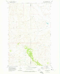
1971 · Ball Coulee
USGS Topo · 1:24,000
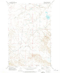
1971 · Ester Lake
USGS Topo · 1:24,000