
1964 Map of Weigand Reservoir
USGS Topo · Published 1967About this map
The Fort Belknap Indian Reservation defines this northern Montana landscape, where the boundary between Blaine Co and Phillips Co bisects a region of complex drainage and prairie lakes. During the mid-1960s, the terrain was characterized by a network of intermittent watercourses including Box Elder Coulee, Willow Coulee, and Kuhr Coulee, all feeding into the larger systems of Willow Creek and Peoples Creek.
Find a feature on this map
12 named features on this map. Tap any name to fly to it.
Don’t see what you’re looking for? This feature index may not catch every label — zoom into the map to look around manually.
Map Details
Editions of this 1964 Weigand Reservoir Map
This is the sole edition of this map. No revisions or reprints were ever made.
Other maps of this area

1953 · Havre
USGS Topo · 1:250,000

1957 · Havre
USGS Topo · 1:250,000

1958 · Havre
USGS Topo · 1:250,000

1964 · Coburg
USGS Topo · 1:24,000

1964 · Coburg SE
USGS Topo · 1:24,000
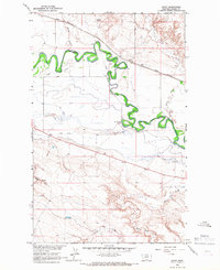
1964 · Savoy
USGS Topo · 1:24,000

1964 · Dodson Dam
USGS Topo · 1:24,000

1971 · Big Flat East
USGS Topo · 1:24,000

1971 · Lodge Pole NE
USGS Topo · 1:24,000
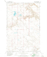
1971 · Bigby Lake
USGS Topo · 1:24,000