
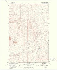
1971 Map of Lodge Pole NE
USGS Topo · Published 1974About this map
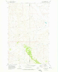
The Fort Belknap Indian Reservation landscape is defined by its intricate network of drainage systems and prominent landmarks in the early 1970s. Peoples Creek and its tributary, South Fork Peoples Creek, carve through the northern terrain, while Lodge Pole Creek winds across the southern reaches. This topography shows a clear transition between high points like Black Butte and the deep incisions of Wolf Coulee and Corral Coulee. Mapping here was conducted as part of the Department of the Interior program for the development of the Missouri River Basin, reflecting a period of federal interest in the hydraulic and land management of the northern plains. The presence of numerous named Spring features indicates the vital role of natural water sources in this portion of Blaine County, supporting both the natural ecosystem and local pastoral activities.
Find a feature on this map
11 named features on this map. Tap any name to fly to it.
Don’t see what you’re looking for? This feature index may not catch every label — zoom into the map to look around manually.
Map Details
Editions of this 1971 Lodge Pole NE Map
This is the sole edition of this map. No revisions or reprints were ever made.
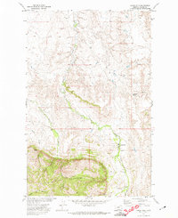
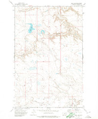
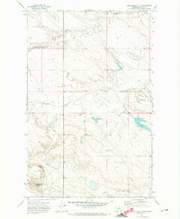
Other maps of this area

1953 · Havre
USGS Topo · 1:250,000

1957 · Havre
USGS Topo · 1:250,000

1958 · Havre
USGS Topo · 1:250,000

1964 · Weigand Reservoir
USGS Topo · 1:24,000
1971 · Lodge Pole NW
USGS Topo · 1:24,000

1971 · Stiffarm Coulee
USGS Topo · 1:24,000
1971 · Lodge Pole
USGS Topo · 1:24,000
1971 · Bigby Lake
USGS Topo · 1:24,000
1971 · Wild Horse Butte
USGS Topo · 1:24,000
1971 · Ball Coulee
USGS Topo · 1:24,000