
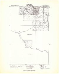
1971 Map of Stiffarm Coulee
USGS Topo · Published 1974About this map
Little Rocky Mountains topography dominates the southern landscape of this 1971 survey within the Fort Belknap Indian Reservation. The terrain transitions from the high elevations of the mountains down through Powder Face Canyon and Carry Water Bench toward the alluvial plains of Warneke Flat. Water management and seasonal drainage define the area's geography, with Little Peoples Creek and Stiffarm Coulee cutting through the northern reaches of the quadrangle.
Find a feature on this map
17 named features on this map. Tap any name to fly to it.
Don’t see what you’re looking for? This feature index may not catch every label — zoom into the map to look around manually.
Map Details
Editions of this 1971 Stiffarm Coulee Map
This is the sole edition of this map. No revisions or reprints were ever made.
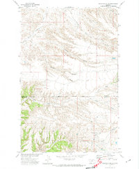
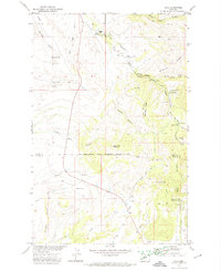
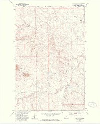
Other maps of this area
1943 · Landusky
USGS Topo · 1:125,000

1953 · Havre
USGS Topo · 1:250,000

1954 · Lewistown
USGS Topo · 1:250,000

1957 · Havre
USGS Topo · 1:250,000

1958 · Havre
USGS Topo · 1:250,000

1959 · Lewistown
USGS Topo · 1:250,000
1971 · Crazyman Coulee
USGS Topo · 1:24,000
1971 · Hays
USGS Topo · 1:24,000
1971 · Lodge Pole NW
USGS Topo · 1:24,000

1971 · Lodge Pole NE
USGS Topo · 1:24,000