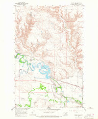
1964 Map of Dodson Dam
USGS Topo · Published 1968About this map
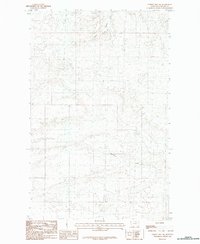
The Milk River meanders through this portion of Phillips and Blaine counties, defining a landscape shaped by early twentieth-century irrigation efforts and rail transport. The Great Northern railroad runs parallel to the river valley, anchoring the settlement of Dodson, where a Water Tank and local infrastructure supported the steam-era rail lines. The map reveals the intricate water management system of the Missouri River Basin development, specifically featuring the Dodson South Canal and Dodson North Canal which divert water from the main river channel.
Find a feature on this map
17 named features on this map. Tap any name to fly to it.
Don’t see what you’re looking for? This feature index may not catch every label — zoom into the map to look around manually.
Map Details
Editions of this 1964 Dodson Dam Map
This is the sole edition of this map. No revisions or reprints were ever made.
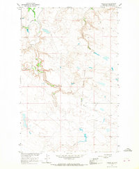
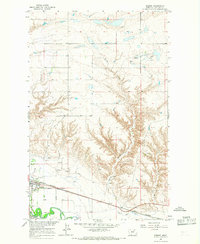
Other maps of this area

1920 · Avery
USGS Topo · 1:125,000

1953 · Havre
USGS Topo · 1:250,000

1957 · Havre
USGS Topo · 1:250,000

1958 · Havre
USGS Topo · 1:250,000

1964 · Coburg
USGS Topo · 1:24,000
1964 · Coburg SE
USGS Topo · 1:24,000

1964 · Weigand Reservoir
USGS Topo · 1:24,000
1964 · Dodson
USGS Topo · 1:24,000
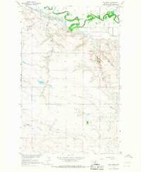
1964 · Cow Creek
USGS Topo · 1:24,000
1984 · Hubert Hill SW
USGS Topo · 1:24,000