Old Maps of Grahams Place, Montana for Academic Research
Study the evolution of Grahams Place with 12 high-resolution historic maps. Whether you're teaching, researching, or modeling changes in land use, these maps provide essential visual documentation of urban, environmental, and geographic change.
- Analyze long-term change: Track patterns in development, transportation, and natural features.
- Ideal for environmental or urban studies: Support academic projects with primary historical map data.
- Use in the classroom or lab: Educators and researchers rely on these maps to bring historical context to life.
These maps are a powerful tool for teaching, research, and visualizing how Grahams Place has changed over the decades.
Grahams Place, MT maps
(12)- 1950 Map of Cliff Lake, 1953 Print
 1950 Cliff Lake1953 Print · USGSMadison County rangeland and the upper Madison River basin come into focus just after the war. Researchers can trace historic homesteads and sportsmen's retreats such as Snowball Inn, Wickadahl Ranch, and Miller Cow Camp.6 unique versions available
 - 1955 Map of Ashton, 1967 Print
 1955 Ashton1967 Print · USGSThe Greater Yellowstone ecosystem is captured here during the mid-1950s, showing the high plateaus and remote gateway towns of Idaho and Montana. Researchers can trace the Union Pacific line to Ashton or locate small settlements like Squirrel and Grainville.4 unique versions available
 - 1958 Map of Ashton
 1958 Ashton1958 Print · USGSGreater Yellowstone and the eastern Idaho borderlands appear here in the mid-1950s as rail and road networks connected remote mountain basins. Trace the Union Pacific route through Ashton or locate early outposts like Last Chance, Squirrel, and West Yellowstone.
 - 1960 Map of Ashton
 1960 Ashton1960 Print · USGSThe Idaho-Montana-Wyoming borderlands at the dawn of the sixties show a landscape defined by the Continental Divide and early wilderness tourism. Genealogists and historians can trace rail-stop settlements like Trude Siding, old outposts like Warm River, and early lodging at Snowball Inn.
 - 1988 Map of Cliff Lake, 1989 Print
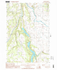 1988 Cliff Lake1989 Print · USGSMadison County's high-country lakes and wilderness areas are captured here in the late eighties as recreational use solidified. Map users can trace access routes like Standard Road to reach Cliff Lake, Wade Lake, and the Hilltop Campground.2 unique versions available
 - 1993 Map of Hebgen Lake
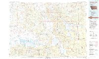 1993 Hebgen Lake1993 Print · USGSThe high mountain passes and vast river basins of the Montana-Idaho border come into focus in the early nineties. Genealogists and historians can trace the remote settlement of Lakeview and the development of West Yellowstone near the Red Rock Lakes National Wildlife Refuge.2 unique versions available
 - 1997 Map of Cliff Lake, 2002 Print
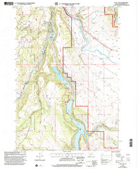 1997 Cliff Lake2002 Print · USGSMadison County's high-country lake system is meticulously detailed in the late nineties, showing the vital waterways and wilderness boundaries of the Gallatin area. Researchers can locate remote outposts like Grahams Place, Wade Lake Resort, and Pine Butte Lodge.
 - 2011 Map of Cliff Lake, 2011 Print
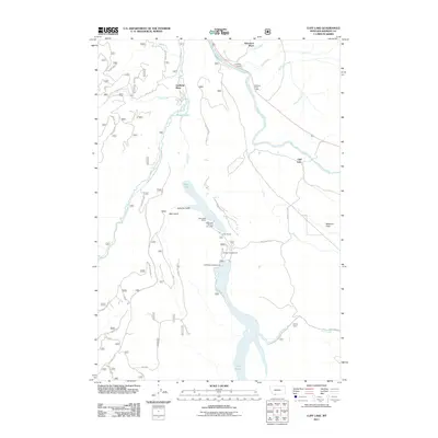 2011 Cliff Lake2011 Print · USGSMadison County's high-country lakes and river benches are documented here during the early 2000s. Researchers can locate specific family sites and seasonal camps, including Wickadahl Ranch, Elliots Resort, and the area around Cliff Lake.
 - 2014 Map of Cliff Lake, 2014 Print
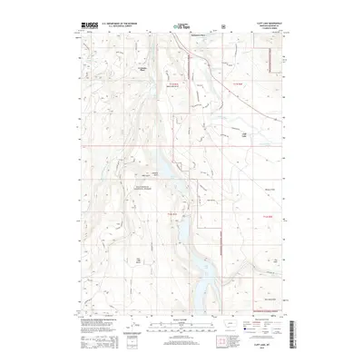 2014 Cliff Lake2014 Print · USGSMadison County high country is shown here in detail during the early twenty-first century, centered on the lakes and forests of the Madison River valley. Researchers can trace remote family landmarks and access trails including Schusters Place, Wade Lake Rd, and Grahams Place.
 - 2017 Map of Cliff Lake, 2017 Print
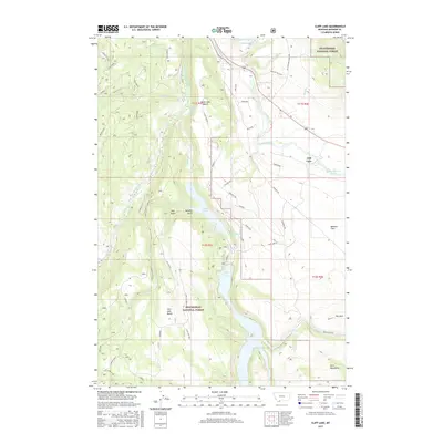 2017 Cliff Lake2017 Print · USGSMadison County high country is shown here in the late twenty-tens, centered on the striking geological formations surrounding Cliff Lake and Wade Lake. Researchers can trace old forest routes like the Hilgard Trl and find named landmarks like Morgans Salt Box.
 - 2020 Map of Cliff Lake, 2020 Print
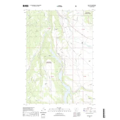 2020 Cliff Lake2020 Print · USGSMadison County high country was largely managed as national forest land by the early twenty-first century. Researchers can trace land use patterns near Cliff Lake and Wade Lake, locating the Homestead and ranching routes like Morgans Salt Box.
 - 2024 Map of Cliff Lake, 2024 Print
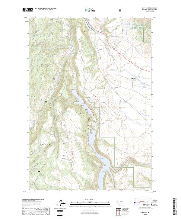 2024 Cliff Lake2024 Print · USGSIn the Madison County high country during the 2020s, this area is defined by the deep basins of Wade Lake and Cliff Lake. Researchers can trace the network of forest trails and ridges like Grizzly Gazelle or explore the drainage of Bogus Creek.
End of results
Showing maps 1-12 of 12
Top cities near Grahams Place
Frequently asked questions
- What are the different types of historical maps available for Grahams Place?
- What is the oldest map of Grahams Place?
- Where can I purchase historical maps of Grahams Place for my home or office?
- Where can I download high-res historical maps of Grahams Place?
- Are there historical topographic maps available for Grahams Place?
- Is there historical aerial imagery available for Grahams Place?
- Where are historical maps of Grahams Place sourced from?