Old Maps of Bryson, Montana for Genealogy
Trace your family roots with 13 historic maps of Bryson. These high-res maps reveal old neighborhoods, homesites, landmarks, and streets — helping you uncover where your ancestors lived and how the area evolved over time.
- Explore historic neighborhoods: Identify where your relatives may have lived in the 1800s or 1900s.
- Compare maps over time: Trace the changes in streets, buildings, and landmarks for multi-generational research.
- Perfect for genealogy & ancestry research: Used by family historians and researchers to map out lineage and migration.
These maps are an incredible resource for exploring your personal connection to Bryson's past.
Bryson, MT maps
(13)- 1914 Map of Avery, 1954 Print
 1914 Avery1954 Print · USGSThe Bitterroot Range was a hive of mining and rail activity when this survey was conducted. You can trace the Chicago Milwaukee and St Paul Railway route or locate early mining operations like the Snowstorm Mine and Mastodon Mine.
 - 1917 Map of Avery, 1949 Print
 1917 Avery1949 Print · USGSThe mining camps and mountain passes of the Idaho-Montana border are documented here just after the peak of the regional silver and lead boom. You can trace the path of the Milwaukee St Paul and Pacific RR or locate historic claims like the Snowstorm Mine and Monitor Mine.
 - 1956 Map of Saltese, 1959 Print
 1956 Saltese1959 Print · USGSThe Montana-Idaho border highlands are captured here in the mid-1950s, showing a rugged landscape defined by heavy industry and mountain transit. Genealogists and historians can trace the deep-seated mining heritage through the Silver Cable Mine, the historic Old Mullan Road, and the isolated rail stop at Roland.3 unique versions available
 - 1956 Map of Wallace, 1966 Print
 1956 Wallace1966 Print · USGSWestern Montana and the Idaho panhandle meet in this mid-century survey of the Bitterroot and Cabinet Mountains. Genealogists and historians can trace the rail-and-river economy through the Northern Pacific line and settlements like Thompson Falls or St. Ignatius.3 unique versions available
 - 1960 Map of Wallace
 1960 Wallace1960 Print · USGSNorthwestern Montana and the Idaho panhandle are captured in the late fifties, showing the vast Flathead Indian Reservation and the mining districts of the Bitterroot Range. Researchers can trace the rail lines of the Northern Pacific or locate early sites like the Morning Mine and the National Bison Range.
 - 1988 Map of Saltese
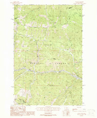 1988 Saltese1988 Print · USGSThe high mountain passes of Mineral County are documented here in the late eighties as the region's mining and rail history began to fade. Trace the Old Railroad Grades through Saltese or locate historic sites like Bryson (Site) and the Silver Cable Mine.
 - 1994 Map of Wallace
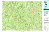 1994 Wallace1994 Print · USGSThe Bitterroot Mountains and the mining heart of the Silver Valley are captured here in the mid-1990s. Researchers can locate active and historic mineral operations such as the Argentine Mine and Last Chance Mines, while tracing the Milwaukee Road through the high passes.
 - 1999 Map of Saltese, 2003 Print
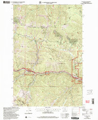 1999 Saltese2003 Print · USGSThe Montana-Idaho border comes alive in this late-century survey of the Regis River corridor and its deep-rooted mining history. Researchers can trace the layout of Saltese, find the historic Taft (Site), and locate specific operations like the Silver Cable Mine.
 - 2011 Map of Saltese, 2011 Print
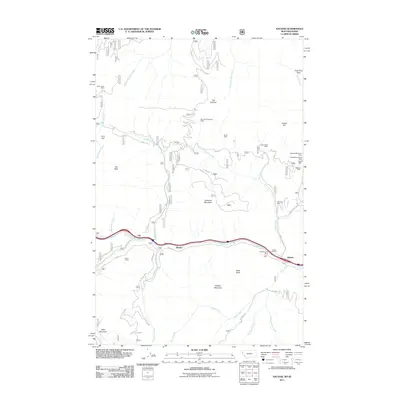 2011 Saltese2011 Print · USGSThe Bitterroot Range on the Montana-Idaho border appears here in the early twenty-first century, centered on the historic mining and rail corridor. Researchers can trace the heritage of local extraction at the Silver Cable Mine and Inland Mine or locate family plots at the Saltese Cemetery.
 - 2014 Map of Saltese, 2014 Print
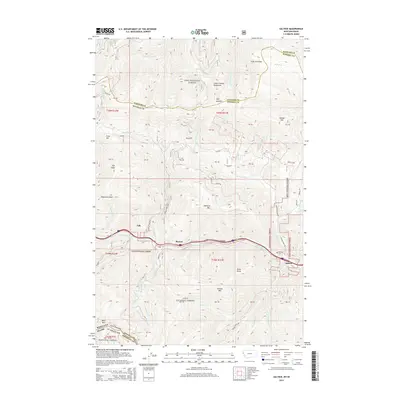 2014 Saltese2014 Print · USGSThe Montana-Idaho border comes alive in this modern survey of the Saint Regis River valley. Genealogists and hikers can trace local landmarks like Saltese Cem, the settlement of Bryson, and the high trails near Taft Peak.
 - 2017 Map of Saltese, 2017 Print
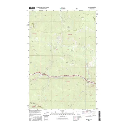 2017 Saltese2017 Print · USGSThe high mountain passes of the Bitterroot Range defined this portion of the Montana-Idaho border during the early twenty-first century. Genealogists and local historians can locate the Saltese Cem and trace the paths of the NP Railway through Taft and Saltese.
 - 2020 Map of Saltese, 2020 Print
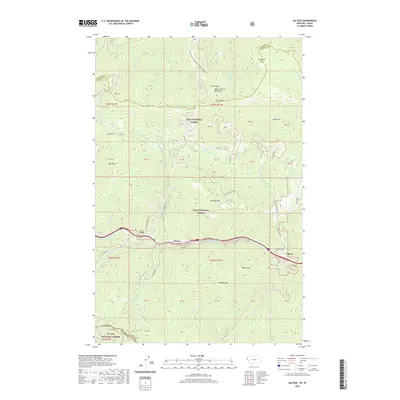 2020 Saltese2020 Print · USGSThe Bitterroot Range at the Montana-Idaho border appears here in recent detail, showing the high-altitude rail and road routes through the mountains. Researchers can trace the NP Railway and Hiawatha trail past settlements like Saltese and the Saltese Cem.
 - 2024 Map of Saltese, 2024 Print
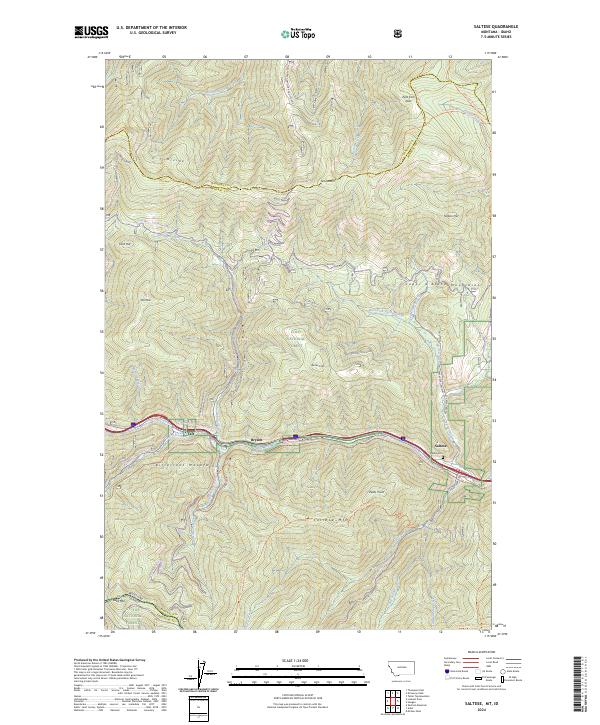 2024 Saltese2024 Print · USGSThe Saint Regis River valley near the Montana-Idaho border appears here as a landscape shaped by mountain crossings and rail history. Trace the legacy of high-country transit through landmarks like Saltese, the Hiawatha NP Railway, and Saltese Cem.
End of results
Showing maps 1-13 of 13
Top cities near Bryson
Frequently asked questions
- What are the different types of historical maps available for Bryson?
- What is the oldest map of Bryson?
- Where can I purchase historical maps of Bryson for my home or office?
- Where can I download high-res historical maps of Bryson?
- Are there historical topographic maps available for Bryson?
- Is there historical aerial imagery available for Bryson?
- Where are historical maps of Bryson sourced from?