Old Maps of Seeley Lake, Montana
Explore 15 old maps of Seeley Lake, spanning from 1902 to today. These high-resolution historic maps reveal how streets, neighborhoods, landmarks, and natural features evolved over time — perfect for genealogy, metal detecting, research, and local history exploration.
What you can do with these maps:
- See how Seeley Lake changed over time: Compare historical maps to modern-day views to trace roads, homesites, rail lines & more.
- View detailed metadata: Each map includes creators, publishers, year, scale, and archive source.
- Overlay maps with satellite & LiDAR: Visualize the past alongside modern tools to explore terrain & human change.
- Trusted historical sources: Maps sourced from the USGS, Library of Congress, and other archives.
- Access maps your way: View online, download high-res files, or order prints for personal or research use.
Start exploring old maps of Seeley Lake to uncover forgotten places, hidden landmarks, and the deep history beneath your feet.
Seeley Lake, MT maps
(15)- 1902 Map of Ovando, 1960 Print
 1902 Ovando1960 Print · USGSMontana's mountain ranchlands come into focus at the turn of the century, centered on the valley around Ovando. Genealogists and historians can trace numerous family homesteads and early outposts, including Danaher's Ranch, Woodworth, and Blanchard's Ranch.2 unique versions available
 - 1905 Map of Ovando
 1905 Ovando1905 Print · USGSThe Montana backcountry at the turn of the century is a landscape of isolated homesteads and forest reserves. Researchers can locate early family-owned landmarks like Danaher's Ranch and Jakway's Ranch or trace the early timber works at Logging Camp.2 unique versions available
 - 1955 Map of Choteau, 1978 Print
 1955 Choteau1978 Print · USGSWestern Montana during the mid-fifties is captured here as a land of rugged high-country wilderness and vital eastern plains irrigation. Genealogists and historians can locate remote outposts like Condon, the communal Miller Colony, and the rail stops of the Chicago Milwaukee St Paul and Pacific.
 - 1957 Map of Choteau
 1957 Choteau1957 Print · USGSMontana's mountain front meets the eastern plains in the mid-fifties, showing the transition from forested wilderness to irrigated ranch land. Genealogists and historians can trace the rail lines of the Great Northern and find settlements like Choteau, Augusta, and Seeley Lake.
 - 1958 Map of Choteau
 1958 Choteau1958 Print · USGSMontana's front range meets the high wilderness in the late fifties, where the Great Northern railway connects ranching towns to the eastern plains. Researchers can trace the development of irrigation at Bynum Reservoir or locate remote camps like the Big Prairie District Ranger Station and Helmville.2 unique versions available
 - 1962 Map of Choteau
 1962 Choteau1962 Print · USGSThe Rocky Mountain Front meets the western plains in the early 1960s, showing a landscape defined by the Continental Divide. Genealogists and researchers can trace the tracks of the Great Northern and find settlements like Choteau, Augusta, and Bynum.
 - 1965 Map of Seeley Lake East, 1968 Print
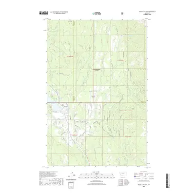
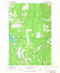 1965 Seeley Lake East1968 Print · USGSThe community of Seeley Lake and the surrounding Missoula County forests are captured here in the mid-1960s. Genealogists and local historians can trace the town's early footprint near the Seeley Swan High Sch, Big Larch Campground, and the regional Seeley Lake Landing Strip.2 unique versions available
 - 1976 Map of Choteau
 1976 Choteau1976 Print · USGSThe Montana Rocky Mountain Front meets the plains in the 1970s, showcasing the high-altitude wilderness and the irrigation-fed ranching country. Trace the Great Northern Railway through Choteau or locate rural landmarks like the Farmington Cemetery and Gibson Reservoir.
 - 1993 Map of Seeley Lake
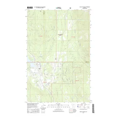
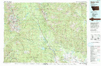 1993 Seeley Lake1993 Print · USGSThe Seeley Lake region in the early nineties is shown here as a landscape defined by its great wilderness boundaries and glacial waters. Researchers can trace the layout of Seeley Lake, the remote Danaher Guard Station, and historic routes like Montana 200 near Ovando.
 - 1999 Map of Seeley Lake East, 2003 Print
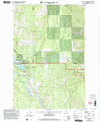 1999 Seeley Lake East2003 Print · USGSSeeley Lake and the surrounding Missoula County wilderness are shown here in the late nineties as a thriving hub for recreation and forestry. Researchers can trace local development at the Double Arrow Ranch, Seeley Swan High Sch, and the Chaffin Pack Camp.
 - 2011 Map of Seeley Lake East, 2011 Print
 2011 Seeley Lake East2011 Print · USGSCovers Seeley Lake, including Missoula County, Powell County, and other nearby areas
 - 2014 Map of Seeley Lake East, 2014 Print
 2014 Seeley Lake East2014 Print · USGSCovers Seeley Lake, including Missoula County, Powell County, and other nearby areas
 - 2017 Map of Seeley Lake East, 2017 Print
 2017 Seeley Lake East2017 Print · USGSCovers Seeley Lake, including Missoula County, Powell County, and other nearby areas
 - 2020 Map of Seeley Lake East, 2020 Print
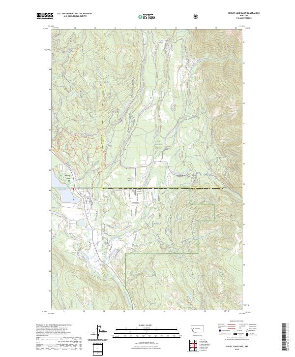
 2020 Seeley Lake East2020 Print · USGSCovers Seeley Lake, including Missoula County, Powell County, and other nearby areas
 - 2024 Map of Seeley Lake East, 2024 Print
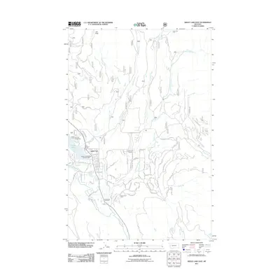
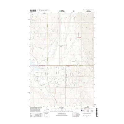
 2024 Seeley Lake East2024 Print · USGSThe community of Seeley Lake and its surrounding timberlands are documented in this recent survey of the Clearwater Valley. Genealogists and outdoor historians can trace the development of local roads and landmarks from Seeley Lake Airport to high points like Crimson Peak.
End of results
Showing maps 1-15 of 15
Frequently asked questions
- What are the different types of historical maps available for Seeley Lake?
- What is the oldest map of Seeley Lake?
- Where can I purchase historical maps of Seeley Lake for my home or office?
- Where can I download high-res historical maps of Seeley Lake?
- Are there historical topographic maps available for Seeley Lake?
- Is there historical aerial imagery available for Seeley Lake?
- Where are historical maps of Seeley Lake sourced from?