Old Maps of Musselshell, Montana
Explore 9 old maps of Musselshell, spanning from 1954 to today. These high-resolution historic maps reveal how streets, neighborhoods, landmarks, and natural features evolved over time — perfect for genealogy, metal detecting, research, and local history exploration.
What you can do with these maps:
- See how Musselshell changed over time: Compare historical maps to modern-day views to trace roads, homesites, rail lines & more.
- View detailed metadata: Each map includes creators, publishers, year, scale, and archive source.
- Overlay maps with satellite & LiDAR: Visualize the past alongside modern tools to explore terrain & human change.
- Trusted historical sources: Maps sourced from the USGS, Library of Congress, and other archives.
- Access maps your way: View online, download high-res files, or order prints for personal or research use.
Start exploring old maps of Musselshell to uncover forgotten places, hidden landmarks, and the deep history beneath your feet.
Musselshell, MT maps
(9)- 1954 Map of Roundup, 1966 Print
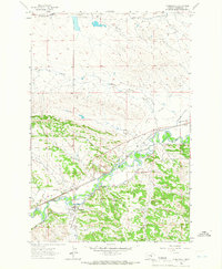
 1954 Roundup1966 Print · USGSCentral Montana in the mid-1960s showcases a landscape of high-plains agriculture and vital rail connections. Researchers can trace historic routes through Harlowton and Roundup while locating landmarks like Judith Cemetery and Deadmans Basin Reservoir.2 unique versions available
 - 1958 Map of Roundup
 1958 Roundup1958 Print · USGSCentral Montana ranching and rail infrastructure are captured here in the late fifties as the Musselshell River valley thrived. Researchers can trace the Great Northern line through Harlowton or locate the Judith Cemetery and Gage Community.2 unique versions available
 - 1963 Map of Musselshell, 1966 Print
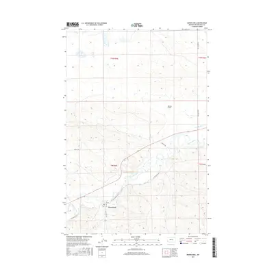
 1963 Musselshell1966 Print · USGSMusselshell and the surrounding central Montana prairie are captured in the early sixties as the river-and-rail economy thrived. Genealogists can trace the settlement at Musselshell and the Goffena area, or explore the works of the Melstone Oil Field.2 unique versions available
 - 1993 Map of Musselshell
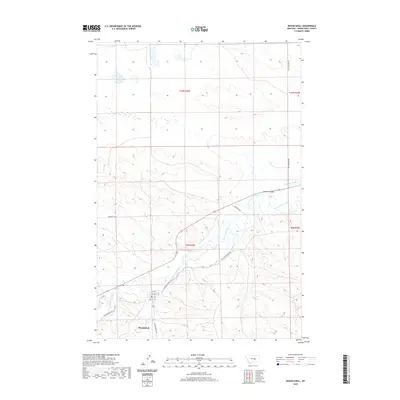
 1993 Musselshell1993 Print · USGSCentral Montana's high plains and river valleys are shown in the early nineties, centered on the ranching and resource hubs of Winnett and Musselshell. Researchers can trace the Musselshell Ditch, locate the Melstone Oil Field, and explore the diverse wetlands of Lake Mason.
 - 2011 Map of Musselshell, 2011 Print
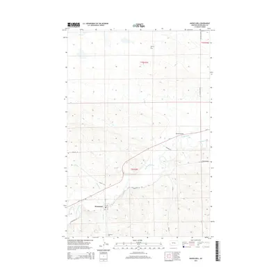
 2011 Musselshell2011 Print · USGSCovers Musselshell, including Musselshell County, United States, and other nearby areas
 - 2014 Map of Musselshell, 2014 Print
 2014 Musselshell2014 Print · USGSCovers Musselshell, including Musselshell County, United States, and other nearby areas
 - 2017 Map of Musselshell, 2017 Print
 2017 Musselshell2017 Print · USGSCovers Musselshell, including Musselshell County, United States, and other nearby areas
 - 2020 Map of Musselshell, 2020 Print
 2020 Musselshell2020 Print · USGSCovers Musselshell, including Musselshell County, United States, and other nearby areas
 - 2024 Map of Musselshell, 2024 Print
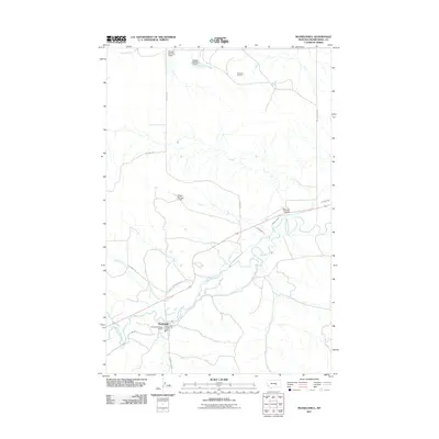
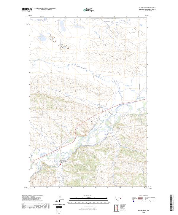 2024 Musselshell2024 Print · USGSThe town of Musselshell is documented here in the early twenty-first century as it sits along the vital Musselshell River valley. Genealogists and local historians can trace the town's layout and outlying routes like Old Musselshell Rd and the central PO.
End of results
Showing maps 1-9 of 9
Top cities near Musselshell
Frequently asked questions
- What are the different types of historical maps available for Musselshell?
- What is the oldest map of Musselshell?
- Where can I purchase historical maps of Musselshell for my home or office?
- Where can I download high-res historical maps of Musselshell?
- Are there historical topographic maps available for Musselshell?
- Is there historical aerial imagery available for Musselshell?
- Where are historical maps of Musselshell sourced from?