Old Maps of Clyde Park, Montana for Metal Detecting
Plan your next treasure hunt with 14 historic maps of Clyde Park. Find old homesites, ghost towns, trails, and gathering spots that may be lost to time — perfect for identifying promising metal detecting locations.
- Locate forgotten sites: Uncover places like long-lost settlements, abandoned rail lines, or gathering spots.
- Plan better hunts: Use map overlays combined with LiDAR or satellite views to narrow in on historically rich areas.
- Made for detectorists: Thousands of hobbyists use these maps to discover relics, coins, and hidden history.
Use these historic maps to boost your research and find new opportunities beneath the surface of Clyde Park.
Clyde Park, MT maps
(14)- 1891 Map of Livingston
 1891 Livingston1891 Print · USGSUpper Yellowstone River country is documented here in the late nineteenth century as the railroad transformed the valley. Genealogists and historians can trace rail-stop towns like Cokedale, the military grounds at Ft. Ellis, and the Old Crow Agency.
 - 1893 Map of Livingston
 1893 Livingston1893 Print · USGSThe Montana mountain country and the gateway to the national park are captured here in the late nineteenth century. Trace the industrial rail corridor through Livingston to mining sites like Coke and the historic Old Crow Agency.5 unique versions available
 - 1947 Map of Bozeman, 1948 Print
 1947 Bozeman1948 Print · USGSBozeman and the surrounding mountain ranges are captured here just after the war, showing the vital rail and river networks of southwestern Montana. Genealogists and historians can trace routes to early settlements like Virginia City, Gallatin Gateway, and the mountain community of Jardine.
 - 1948 Map of Bozeman, 1951 Print
 1948 Bozeman1951 Print · USGSSouthern Montana in the late 1940s is shown as a high-country crossroads of rail lines and river headwaters. Genealogists and historians can trace old town sites like Virginia City and McLeod alongside the Northern Pacific and Milwaukee Road railroads.
 - 1951 Map of Clyde Park, 1953 Print
 1951 Clyde Park1953 Print · USGSThe ranching country of Park County comes into focus in the early 1950s, centered on the rail-side settlement of Clyde Park. Genealogists and historians can trace family holdings like the Thompson Ranch, locate the Sumner School, or follow the Northern Pacific tracks through the Shields River valley.3 unique versions available
 - 1955 Map of Bozeman
 1955 Bozeman1955 Print · USGSBozeman and the upper Missouri River headwaters are captured here during the mid-fifties, showing the vital rail and river networks of southwestern Montana. Local historians can trace the routes of the Northern Pacific railroad through Livingston and locate smaller settlements like Trident, Anceney, and Jardine.
 - 1958 Map of Bozeman, 1968 Print
 1958 Bozeman1968 Print · USGSThe Gallatin and Madison River valleys are captured here in the late fifties, showing the region's transition into a modern mountain hub. Genealogists and historians can trace the paths of the Northern Pacific RR, locate the Anceney School, and see the early layout of Bozeman.3 unique versions available
 - 1965 Map of Bozeman
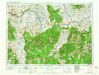 1965 Bozeman1965 Print · USGSSouthwestern Montana's river valleys and mountain ranges appear in detail during the early 1960s. Genealogists and historians can trace rail-era settlements like Trident, locate the Anceney School, and see the early footprint of Montana State College.
 - 1992 Map of Livingston
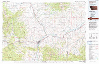 1992 Livingston1992 Print · USGSPark County in the early nineties remains a landscape of river valleys and high wilderness, centered on the historic rail hub of Livingston. Researchers can trace the Burlington Northern Railroad through mountain passes and locate rural markers like the Coal Mine and Clyde Park.
 - 2011 Map of Clyde Park, 2011 Print
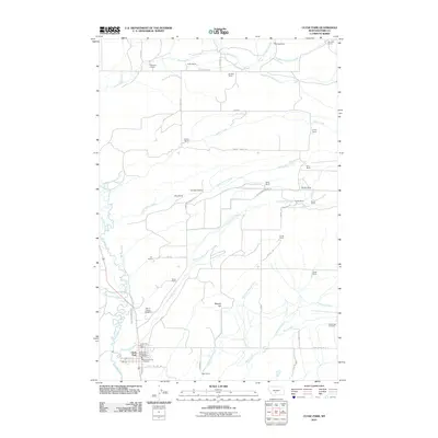 2011 Clyde Park2011 Print · USGSRanching life in Park County remains the focus of this modern survey as the town of Clyde Park sits at the confluence of the Shields River and Cottonwood Creek. Researchers can locate family landmarks like McClung Ranch, Egler Ranch, and the Mount Calvary Cemetery.
 - 2014 Map of Clyde Park, 2014 Print
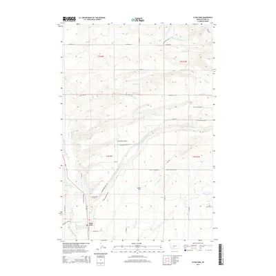 2014 Clyde Park2014 Print · USGSClyde Park and the surrounding Shields River valley are captured here in the early twenty-first century, showing a landscape defined by ranching and high-country waterways. Genealogists can locate Mt Calvary Cem and Rock Creek Cem, or trace family routes along Cottonwood Bench Rd and Horse Cr.
 - 2017 Map of Clyde Park, 2017 Print
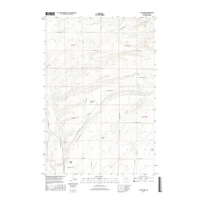 2017 Clyde Park2017 Print · USGSClyde Park and the Shields River Valley are captured here in the late twenty-teens, showing the enduring agricultural layout of the region. Researchers can trace rural property lines and landmarks like Cottonwood Bench, Clyde Park Cem, and Moolsh Hill.
 - 2020 Map of Clyde Park, 2020 Print
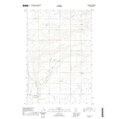 2020 Clyde Park2020 Print · USGSClyde Park and the Shields River valley are captured here in the early twenty-first century as they wind through Park County. Local researchers can trace family landmarks and rural routes, from Clyde Park Cem to the high grounds of Cottonwood Bench.
 - 2024 Map of Clyde Park, 2024 Print
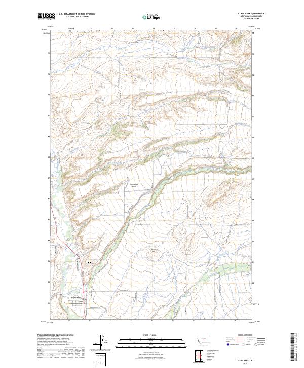 2024 Clyde Park2024 Print · USGSThe Shields River valley comes into focus in this contemporary survey of Park County, showing the agricultural heart of the region. Genealogists and historians can trace local family lineages at Saint Margarets Cem, Clyde Park Cem, and Rock Creek Cem.
End of results
Showing maps 1-14 of 14
Top cities near Clyde Park
Frequently asked questions
- What are the different types of historical maps available for Clyde Park?
- What is the oldest map of Clyde Park?
- Where can I purchase historical maps of Clyde Park for my home or office?
- Where can I download high-res historical maps of Clyde Park?
- Are there historical topographic maps available for Clyde Park?
- Is there historical aerial imagery available for Clyde Park?
- Where are historical maps of Clyde Park sourced from?