2000s (21st Century) Maps of Cooke City, Montana
Explore 6 historic maps of Cooke City from the 2000s (21st Century). These maps offer a rare glimpse into what life looked like during the 2000s — showing old roads, neighborhoods, homes, and landmarks that have changed or disappeared over time.
Whether you're researching your family's past, planning a metal detecting trip, or studying how Cooke City's landscape evolved across the 2000s, these high-resolution maps are a powerful tool for exploring the history of this region.
- Focus on a specific era: All maps on this page are from the 2000s, giving you a focused view of this time period.
- See what’s changed: Compare century-old streets, trails, and buildings to today's modern landscape using overlays and satellite layers.
- Research with precision: Use these maps for genealogy, historical research, land use analysis, or educational projects.
- View, download, or print: Maps are fully viewable online in high resolution, and can be downloaded or printed for your own records.
Start exploring Cooke City's history through authentic maps from the 2000s. This is your window into the past.
Cooke City, MT maps
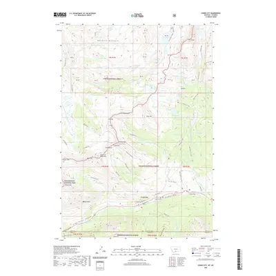
(6)- 2000 Map of Cooke City, 2005 Print
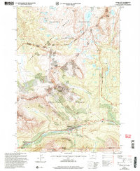 2000 Cooke City2005 Print · USGSMining history and high-mountain wilderness meet in this turn-of-the-century survey of the Beartooth Range. Researchers can trace alpine mineral exploration near Scotch Bonnet Mountain and locate the local Cem or the Cooke City Amphitheater.
 - 2011 Map of Cooke City, 2011 Print
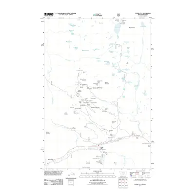 2011 Cooke City2011 Print · USGSCovers Cooke City, including Ricci Trailer Terraces, Silver Gate, and other nearby areas
 - 2014 Map of Cooke City, 2014 Print
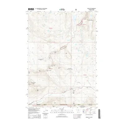 2014 Cooke City2014 Print · USGSCovers Cooke City, including Ricci Trailer Terraces, Silver Gate, and other nearby areas
 - 2017 Map of Cooke City, 2017 Print
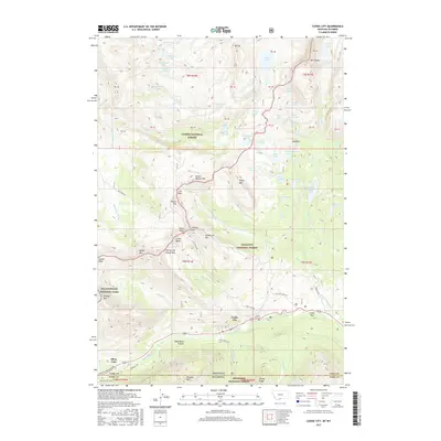 2017 Cooke City2017 Print · USGSCovers Cooke City, including Ricci Trailer Terraces, Silver Gate, and other nearby areas
 - 2020 Map of Cooke City, 2020 Print
 2020 Cooke City2020 Print · USGSCovers Cooke City, including Ricci Trailer Terraces, Silver Gate, and other nearby areas
 - 2024 Map of Cooke City, 2024 Print
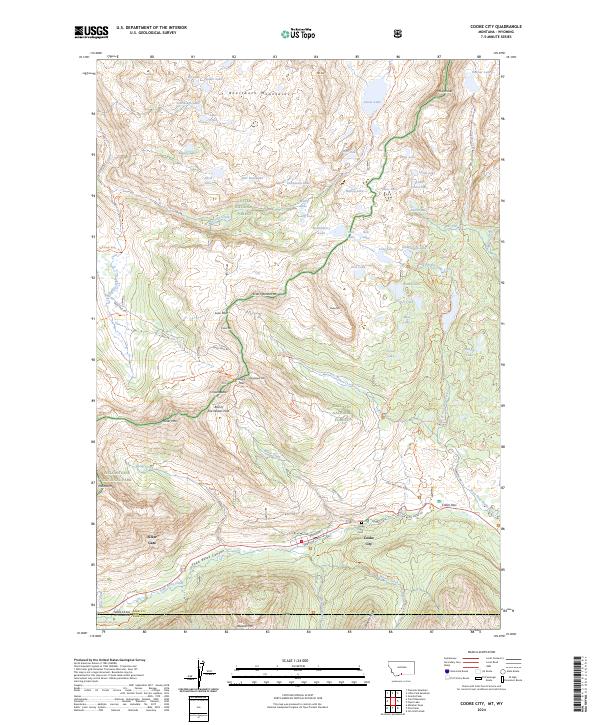 2024 Cooke City2024 Print · USGSCooke City and Silver Gate sit at the edge of the wilderness in this recent survey of the high Beartooth range. Trace the legacy of mountain mining and high-altitude travel along Daisy Pass Rd, the Old Dust Mine Trl, and Colter Pass.
End of results
Showing maps 1-6 of 6
Frequently asked questions
- What are the different types of historical maps available for Cooke City?
- What is the oldest map of Cooke City?
- Where can I purchase historical maps of Cooke City for my home or office?
- Where can I download high-res historical maps of Cooke City?
- Are there historical topographic maps available for Cooke City?
- Is there historical aerial imagery available for Cooke City?
- Where are historical maps of Cooke City sourced from?