2000s (21st Century) Maps of Emigrant, Montana
Explore 6 historic maps of Emigrant from the 2000s (21st Century). These maps offer a rare glimpse into what life looked like during the 2000s — showing old roads, neighborhoods, homes, and landmarks that have changed or disappeared over time.
Whether you're researching your family's past, planning a metal detecting trip, or studying how Emigrant's landscape evolved across the 2000s, these high-resolution maps are a powerful tool for exploring the history of this region.
- Focus on a specific era: All maps on this page are from the 2000s, giving you a focused view of this time period.
- See what’s changed: Compare century-old streets, trails, and buildings to today's modern landscape using overlays and satellite layers.
- Research with precision: Use these maps for genealogy, historical research, land use analysis, or educational projects.
- View, download, or print: Maps are fully viewable online in high resolution, and can be downloaded or printed for your own records.
Start exploring Emigrant's history through authentic maps from the 2000s. This is your window into the past.
Emigrant, MT maps
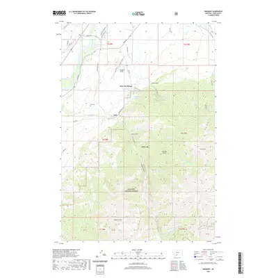
(6)- 2000 Map of Emigrant, 2005 Print
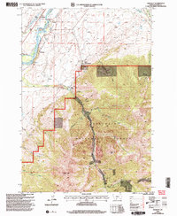 2000 Emigrant2005 Print · USGSThe Paradise Valley at the turn of the millennium shows a fascinating mix of riverfront settlement and high-country mining. Trace the historical footprint of Old Chico, locate the Chico Cemetery, and follow old mining paths to the St Julian Mine.
 - 2011 Map of Emigrant, 2011 Print
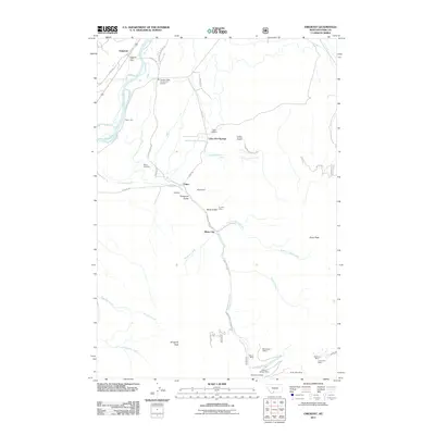 2011 Emigrant2011 Print · USGSCovers Emigrant, including Chico, Chico Hot Springs, and other nearby areas
 - 2014 Map of Emigrant, 2014 Print
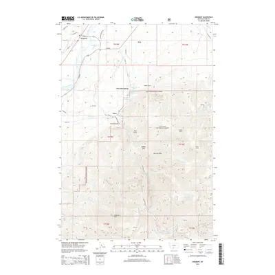 2014 Emigrant2014 Print · USGSCovers Emigrant, including Chico, Chico Hot Springs, and other nearby areas
 - 2017 Map of Emigrant, 2017 Print
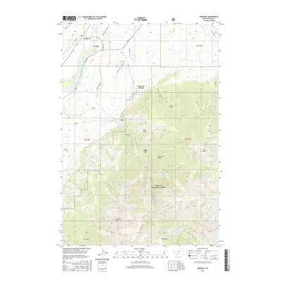 2017 Emigrant2017 Print · USGSCovers Emigrant, including Chico, Chico Hot Springs, and other nearby areas
 - 2020 Map of Emigrant, 2020 Print
 2020 Emigrant2020 Print · USGSCovers Emigrant, including Chico, Chico Hot Springs, and other nearby areas
 - 2024 Map of Emigrant, 2024 Print
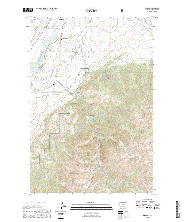 2024 Emigrant2024 Print · USGSThe Yellowstone River valley and the Absaroka Range dominate this Montana landscape as it appears today. Researchers can locate the Chico Cem and trace development around Chico Hot Springs, White City, and Emigrant.
End of results
Showing maps 1-6 of 6
Frequently asked questions
- What are the different types of historical maps available for Emigrant?
- What is the oldest map of Emigrant?
- Where can I purchase historical maps of Emigrant for my home or office?
- Where can I download high-res historical maps of Emigrant?
- Are there historical topographic maps available for Emigrant?
- Is there historical aerial imagery available for Emigrant?
- Where are historical maps of Emigrant sourced from?