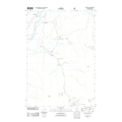
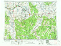
2011 Map of Emigrant
USGS Topo · Published 2011About this map
Chico Hot Springs and the historic settlement of Old Chico anchor this high-mountain landscape in the Paradise Valley. The terrain is defined by the sharp descent from peaks like Emigrant Peak and Chico Peak toward the Yellowstone River, a topography that long drove the region's mining and tourism economies. The corridor along Emigrant Creek is particularly dense with evidence of extraction, where industrial landmarks like the Alaska Mine, Ku Klux Mine, and Saint Julian Mine are recorded alongside smaller operations such as the Allison Mine.
Find a feature on this map
47 named features on this map. Tap any name to fly to it.
Don’t see what you’re looking for? This feature index may not catch every label — zoom into the map to look around manually.
Map Details
Editions of this 2011 Emigrant Map
This is the sole edition of this map. No revisions or reprints were ever made.
Other maps of this area
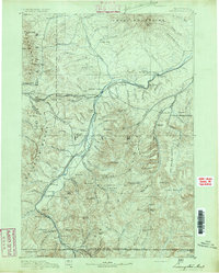
1891 · Livingston
USGS Topo · 1:250,000
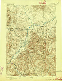
1893 · Livingston
USGS Topo · 1:250,000

1947 · Bozeman
USGS Topo · 1:250,000

1948 · Bozeman
USGS Topo · 1:250,000
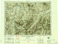
1955 · Bozeman
USGS Topo · 1:250,000
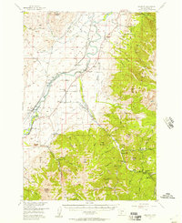
1955 · Emigrant
USGS Topo · 1:62,500
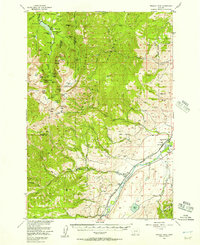
1955 · Fridley Peak
USGS Topo · 1:62,500
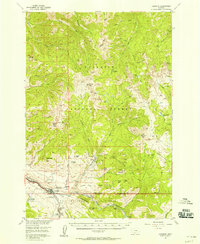
1955 · Gardiner
USGS Topo · 1:62,500
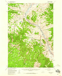
1955 · Miner
USGS Topo · 1:62,500
1958 · Bozeman
USGS Topo · 1:250,000