2000s (21st Century) Maps of Gardiner, Montana
Explore 6 historic maps of Gardiner from the 2000s (21st Century). These maps offer a rare glimpse into what life looked like during the 2000s — showing old roads, neighborhoods, homes, and landmarks that have changed or disappeared over time.
Whether you're researching your family's past, planning a metal detecting trip, or studying how Gardiner's landscape evolved across the 2000s, these high-resolution maps are a powerful tool for exploring the history of this region.
- Focus on a specific era: All maps on this page are from the 2000s, giving you a focused view of this time period.
- See what’s changed: Compare century-old streets, trails, and buildings to today's modern landscape using overlays and satellite layers.
- Research with precision: Use these maps for genealogy, historical research, land use analysis, or educational projects.
- View, download, or print: Maps are fully viewable online in high resolution, and can be downloaded or printed for your own records.
Start exploring Gardiner's history through authentic maps from the 2000s. This is your window into the past.
Gardiner, MT maps
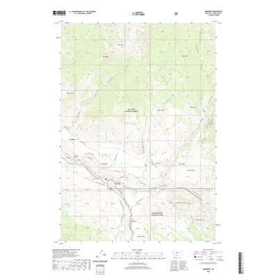
(6)- 2000 Map of Gardiner, 2005 Print
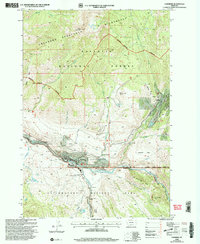 2000 Gardiner2005 Print · USGSGardiner and the northern gateway to Yellowstone appear here at the turn of the millennium. Researchers can trace the proximity of the North Entrance to the mining history near Jardine and the Eagle Creek Flume.
 - 2011 Map of Gardiner, 2011 Print
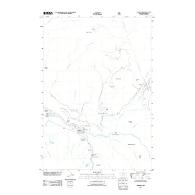 2011 Gardiner2011 Print · USGSCovers Gardiner, including Jardine, Park County, and other nearby areas
 - 2014 Map of Gardiner, 2014 Print
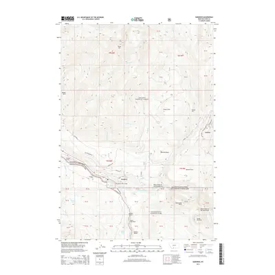 2014 Gardiner2014 Print · USGSCovers Gardiner, including Jardine, Park County, and other nearby areas
 - 2017 Map of Gardiner, 2017 Print
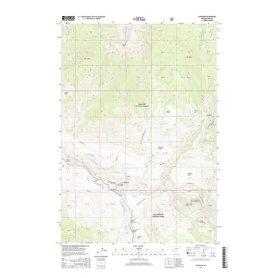 2017 Gardiner2017 Print · USGSCovers Gardiner, including Jardine, Park County, and other nearby areas
 - 2020 Map of Gardiner, 2020 Print
 2020 Gardiner2020 Print · USGSCovers Gardiner, including Jardine, Park County, and other nearby areas
 - 2024 Map of Gardiner, 2024 Print
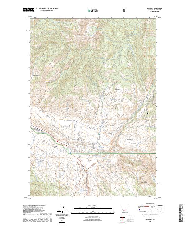 2024 Gardiner2024 Print · USGSGardiner and Jardine sit at the dramatic northern threshold of Yellowstone in the 2020s. Researchers can trace the modern town footprint near the Gardiner Cem, follow the Old Yellowstone Trail, or scout the heights of Sheep Mtn.
End of results
Showing maps 1-6 of 6
Frequently asked questions
- What are the different types of historical maps available for Gardiner?
- What is the oldest map of Gardiner?
- Where can I purchase historical maps of Gardiner for my home or office?
- Where can I download high-res historical maps of Gardiner?
- Are there historical topographic maps available for Gardiner?
- Is there historical aerial imagery available for Gardiner?
- Where are historical maps of Gardiner sourced from?