Old Maps of Ricci Trailer Terraces, Montana for Academic Research
Study the evolution of Ricci Trailer Terraces with 14 high-resolution historic maps. Whether you're teaching, researching, or modeling changes in land use, these maps provide essential visual documentation of urban, environmental, and geographic change.
- Analyze long-term change: Track patterns in development, transportation, and natural features.
- Ideal for environmental or urban studies: Support academic projects with primary historical map data.
- Use in the classroom or lab: Educators and researchers rely on these maps to bring historical context to life.
These maps are a powerful tool for teaching, research, and visualizing how Ricci Trailer Terraces has changed over the decades.
Ricci Trailer Terraces, MT maps
(14)- 1898 Map of Granite Mountain District
 1898 Granite Mountain District1898 Print · USGSThe Beartooth Range appears here in the late nineteenth century during a specialized survey for regional coal and electric companies. Researchers can trace early mountain pathways through Goose Lake Pass and locate major summits like Granite Peak and Mt Dewey.
 - 1954 Map of Billings, 1963 Print
 1954 Billings1963 Print · USGSThe Yellowstone valley during the mid-fifties shows a landscape of thriving rail towns and high-mountain outposts. Genealogists and historians can trace old homesteads and mining routes near Red Lodge, Bearcreek, and along the Bighorn River.4 unique versions available
 - 1956 Map of Cooke City, 1958 Print
 1956 Cooke City1958 Print · USGSThe Montana-Wyoming border highlands are captured here in the mid-fifties, centered on the mining and forestry outposts of the Beartooth range. Researchers can trace historic extraction sites like Irma Mines and Gold Dust Mine or locate the Big Park Guard Station.5 unique versions available
 - 1957 Map of Billings
 1957 Billings1957 Print · USGSThe Yellowstone River valley and the rugged Beartooth Mountains meet in the mid-1950s near the growing hub of Billings. Genealogists and researchers can trace rail and ranching history through river towns like Columbus, the mining heritage of Red Lodge, and the vast Crow Indian Reservation.
 - 1958 Map of Billings
 1958 Billings1958 Print · USGSMid-century Montana comes alive in this survey of the Yellowstone Valley as the regional rail and road networks reached their peak. Trace family roots and old routes near Billings, the Crow Indian Reservation, and the heights of the Beartooth Mountains.2 unique versions available
 - 1986 Map of Cooke City
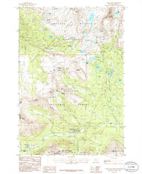 1986 Cooke City1986 Print · USGSIn the mid-1980s, the mountain mining landscape of Cooke City remained a hive of alpine activity at the intersection of three National Forests. Researchers can trace historic extraction sites like the Open Pit Mine near Daisy Pass and local landmarks including the Cem and Miller Mountain.
 - 1989 Map of Red Lodge
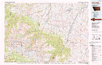 1989 Red Lodge1989 Print · USGSThe Beartooth Mountains and the Montana-Wyoming border come alive in this late 1980s map of the high plateau country. Genealogists and historians can trace the mining history of Bearcreek through the Brophy Mine and Foster Mine or locate the rural Church Hill.
 - 1991 Map of Cooke City, 1996 Print
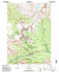 1991 Cooke City1996 Print · USGSCooke City and Silver Gate sit at the gateway to the high peaks in the early nineties, documenting a landscape defined by mining history and massive wilderness tracts. Researchers can locate old mining works on Scotch Bonnet Mountain and trace the headwaters of the Yellowstone River near Colter Pass.
 - 2000 Map of Cooke City, 2005 Print
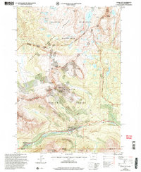 2000 Cooke City2005 Print · USGSMining history and high-mountain wilderness meet in this turn-of-the-century survey of the Beartooth Range. Researchers can trace alpine mineral exploration near Scotch Bonnet Mountain and locate the local Cem or the Cooke City Amphitheater.
 - 2011 Map of Cooke City, 2011 Print
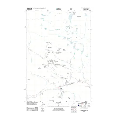 2011 Cooke City2011 Print · USGSThe high alpine mining camps of the Beartooth Range come to life in this survey of the Montana-Wyoming border. Historians and genealogists can trace decades of mineral claims at the Glengarry Mines, Mc Larens Mines, and the local Cooke City Cemetery.
 - 2014 Map of Cooke City, 2014 Print
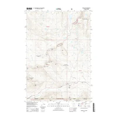 2014 Cooke City2014 Print · USGSThe high Beartooth mountain passes near the Montana-Wyoming border appear in modern detail on this 2014 survey. Genealogists and local historians can trace the foundations of Cooke City and Silver Gate, or locate sites like the Cooke City Cem and the historical Bannock Trl.
 - 2017 Map of Cooke City, 2017 Print
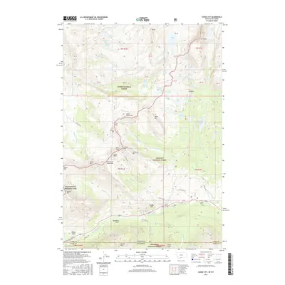 2017 Cooke City2017 Print · USGSNear the Montana-Wyoming border, this area serves as the northeastern gateway to Yellowstone during the 2010s. Researchers can locate the Cooke City Cem, follow the high-mountain Lulu Pass, and trace the path of the historic Bannock Trl.
 - 2020 Map of Cooke City, 2020 Print
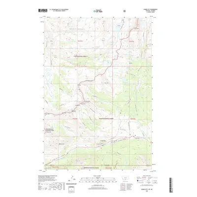 2020 Cooke City2020 Print · USGSThe high-altitude mining and gateway communities of Cooke City and Silver Gate sit at the intersection of three National Forests and the northeast entrance of Yellowstone National Park. Researchers can trace old mountain routes and mining history through Lulu Pass, the Gold Dust Mine, and the Cooke City Cem.
 - 2024 Map of Cooke City, 2024 Print
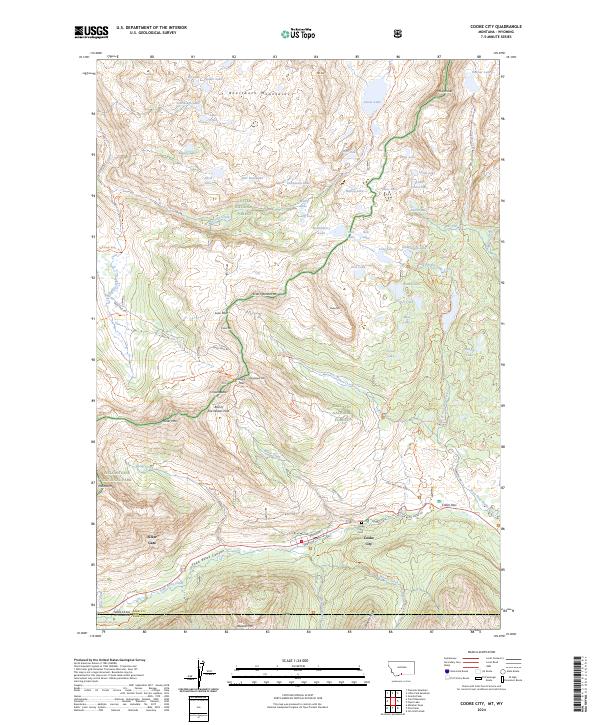 2024 Cooke City2024 Print · USGSCooke City and Silver Gate sit at the edge of the wilderness in this recent survey of the high Beartooth range. Trace the legacy of mountain mining and high-altitude travel along Daisy Pass Rd, the Old Dust Mine Trl, and Colter Pass.
End of results
Showing maps 1-14 of 14
Frequently asked questions
- What are the different types of historical maps available for Ricci Trailer Terraces?
- What is the oldest map of Ricci Trailer Terraces?
- Where can I purchase historical maps of Ricci Trailer Terraces for my home or office?
- Where can I download high-res historical maps of Ricci Trailer Terraces?
- Are there historical topographic maps available for Ricci Trailer Terraces?
- Is there historical aerial imagery available for Ricci Trailer Terraces?
- Where are historical maps of Ricci Trailer Terraces sourced from?