Old Maps of Flatwillow, Montana for Metal Detecting
Plan your next treasure hunt with 9 historic maps of Flatwillow. Find old homesites, ghost towns, trails, and gathering spots that may be lost to time — perfect for identifying promising metal detecting locations.
- Locate forgotten sites: Uncover places like long-lost settlements, abandoned rail lines, or gathering spots.
- Plan better hunts: Use map overlays combined with LiDAR or satellite views to narrow in on historically rich areas.
- Made for detectorists: Thousands of hobbyists use these maps to discover relics, coins, and hidden history.
Use these historic maps to boost your research and find new opportunities beneath the surface of Flatwillow.
Flatwillow, MT maps
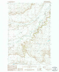
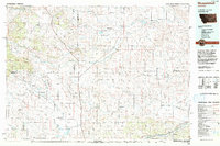
(9)- 1954 Map of Roundup, 1966 Print
 1954 Roundup1966 Print · USGSCentral Montana in the mid-1960s showcases a landscape of high-plains agriculture and vital rail connections. Researchers can trace historic routes through Harlowton and Roundup while locating landmarks like Judith Cemetery and Deadmans Basin Reservoir.2 unique versions available
 - 1958 Map of Roundup
 1958 Roundup1958 Print · USGSCentral Montana ranching and rail infrastructure are captured here in the late fifties as the Musselshell River valley thrived. Researchers can trace the Great Northern line through Harlowton or locate the Judith Cemetery and Gage Community.2 unique versions available
 - 1986 Map of Flatwillow
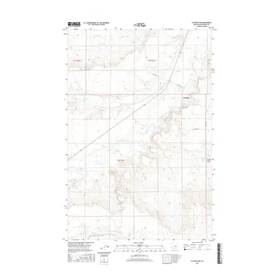
 1986 Flatwillow1986 Print · USGSPetroleum County's ranching landscape is documented in the mid-1980s as it appeared before the turn of the century. Genealogists and researchers can trace local landmarks like the Flatwillow settlement, the local Cem, and drainage along Flatwillow Creek.
 - 1993 Map of Musselshell
 1993 Musselshell1993 Print · USGSCentral Montana's high plains and river valleys are shown in the early nineties, centered on the ranching and resource hubs of Winnett and Musselshell. Researchers can trace the Musselshell Ditch, locate the Melstone Oil Field, and explore the diverse wetlands of Lake Mason.
 - 2011 Map of Flatwillow, 2011 Print
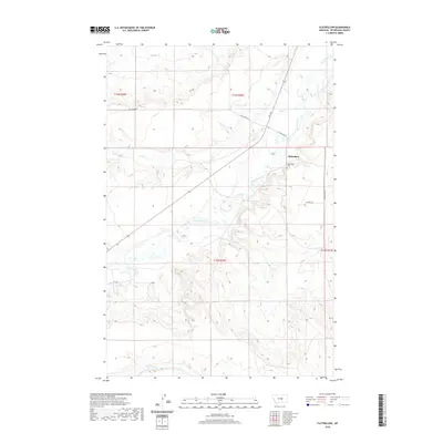
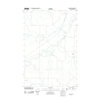 2011 Flatwillow2011 Print · USGSCovers Flatwillow, including Petroleum County, Musselshell County, and other nearby areas
 - 2014 Map of Flatwillow, 2014 Print
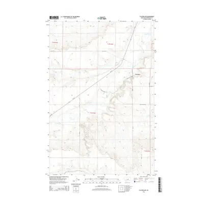 2014 Flatwillow2014 Print · USGSCovers Flatwillow, including Petroleum County, Musselshell County, and other nearby areas
 - 2017 Map of Flatwillow, 2017 Print
 2017 Flatwillow2017 Print · USGSCovers Flatwillow, including Petroleum County, Musselshell County, and other nearby areas
 - 2020 Map of Flatwillow, 2020 Print
 2020 Flatwillow2020 Print · USGSCovers Flatwillow, including Petroleum County, Musselshell County, and other nearby areas
 - 2024 Map of Flatwillow, 2024 Print
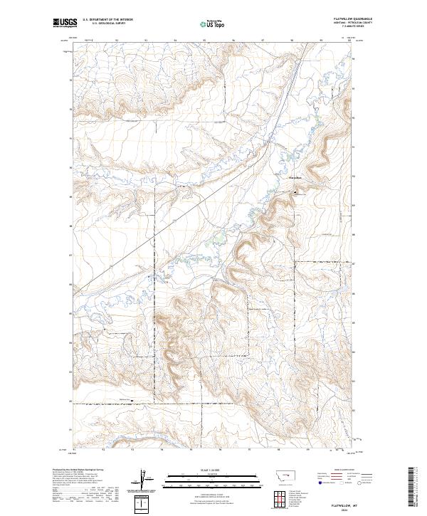 2024 Flatwillow2024 Print · USGSPetroleum County ranching country is mapped here in its contemporary state, showing the vast drainages of the Montana prairie. Genealogists and local historians can trace family roots at Flatwillow Cem or follow the route of Flatwillow Creek past the Wallview Cem.
End of results
Showing maps 1-9 of 9
Top cities near Flatwillow
Frequently asked questions
- What are the different types of historical maps available for Flatwillow?
- What is the oldest map of Flatwillow?
- Where can I purchase historical maps of Flatwillow for my home or office?
- Where can I download high-res historical maps of Flatwillow?
- Are there historical topographic maps available for Flatwillow?
- Is there historical aerial imagery available for Flatwillow?
- Where are historical maps of Flatwillow sourced from?