Old Maps of Caldwell, Montana for Metal Detecting
Plan your next treasure hunt with 10 historic maps of Caldwell. Find old homesites, ghost towns, trails, and gathering spots that may be lost to time — perfect for identifying promising metal detecting locations.
- Locate forgotten sites: Uncover places like long-lost settlements, abandoned rail lines, or gathering spots.
- Plan better hunts: Use map overlays combined with LiDAR or satellite views to narrow in on historically rich areas.
- Made for detectorists: Thousands of hobbyists use these maps to discover relics, coins, and hidden history.
Use these historic maps to boost your research and find new opportunities beneath the surface of Caldwell.
Caldwell, MT maps
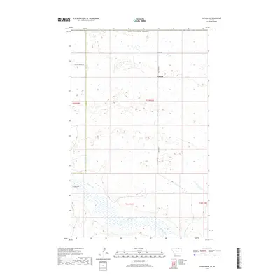
(10)- 1920 Map of Avery
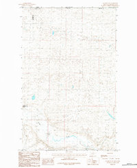
 1920 Avery1920 Print · USGSPhillips and Blaine counties appear here just after the Great War, showing the rural network of the Montana high plains along the Canadian border. Genealogists can locate early community hubs like Caldwell P.O., Turner, and rural schools such as Hubert S.H..
 - 1953 Map of Havre, 1967 Print
 1953 Havre1967 Print · USGSNorthern Montana’s Hi-Line comes into focus in the mid-fifties, centered on the Milk River and the critical Great Northern rail link. Genealogists can trace small sidings and settlements like Assinniboine, Laredo, and Box Elder alongside the Fort Belknap Agency.3 unique versions available
 - 1957 Map of Havre
 1957 Havre1957 Print · USGSNorth-central Montana at the mid-century is defined by the vital Great Northern rail corridor and the winding Milk River. Researchers can trace old settlements like Laredo and Savoy, or locate historic sites such as the Hays (old) Sub Agency and the Chinook No 1 mine.
 - 1958 Map of Havre
 1958 Havre1958 Print · USGSUpper Montana in the late fifties was a landscape of remote rail towns and vast high-plain ranges. Genealogists and historians can trace the Great Northern railroad through Havre, Chinook, and the Fort Belknap Indian Reservation.
 - 1984 Map of Chapman NW
 1984 Chapman NW1984 Print · USGSNorthern Phillips County meets the international border in the early eighties, showcasing a vast prairie landscape defined by its waterways and boundaries. Researchers can trace the path of Woody Island Coulee and locate the exact corner where Blaine Co and Phillips Co meet the United States-Canada line.
 - 2011 Map of Chapman NW, 2011 Print
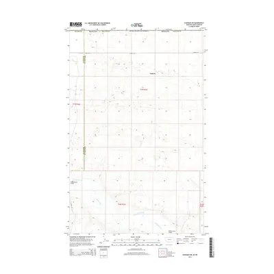
 2011 Chapman NW2011 Print · USGSCovers Caldwell, including Blaine County, Phillips County, and other nearby areas
 - 2014 Map of Chapman NW, 2014 Print
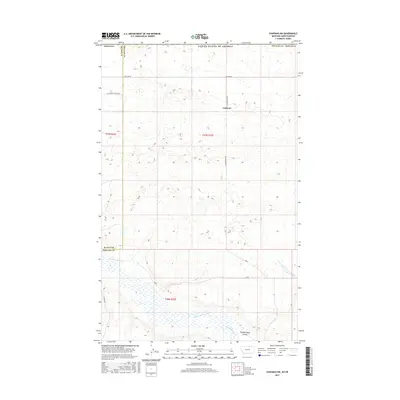
 2014 Chapman NW2014 Print · USGSCovers Caldwell, including Blaine County, Phillips County, and other nearby areas
 - 2017 Map of Chapman NW, 2017 Print
 2017 Chapman NW2017 Print · USGSCovers Caldwell, including Blaine County, Phillips County, and other nearby areas
 - 2020 Map of Chapman NW, 2020 Print
 2020 Chapman NW2020 Print · USGSCovers Caldwell, including Blaine County, Phillips County, and other nearby areas
 - 2024 Map of Chapman NW, 2024 Print
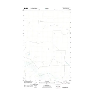
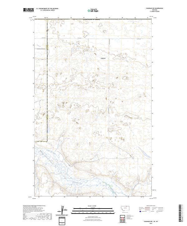 2024 Chapman NW2024 Print · USGSPhillips County near the international border is captured here during the 2020s, showing a landscape of high prairie and seasonal drainages. Researchers can trace the path of Woody Island Creek and find the rural crossroads at Caldwell along Hutton Rd.
End of results
Showing maps 1-10 of 10
Frequently asked questions
- What are the different types of historical maps available for Caldwell?
- What is the oldest map of Caldwell?
- Where can I purchase historical maps of Caldwell for my home or office?
- Where can I download high-res historical maps of Caldwell?
- Are there historical topographic maps available for Caldwell?
- Is there historical aerial imagery available for Caldwell?
- Where are historical maps of Caldwell sourced from?