Old Maps of Cree Crossing, Montana for Metal Detecting
Plan your next treasure hunt with 10 historic maps of Cree Crossing. Find old homesites, ghost towns, trails, and gathering spots that may be lost to time — perfect for identifying promising metal detecting locations.
- Locate forgotten sites: Uncover places like long-lost settlements, abandoned rail lines, or gathering spots.
- Plan better hunts: Use map overlays combined with LiDAR or satellite views to narrow in on historically rich areas.
- Made for detectorists: Thousands of hobbyists use these maps to discover relics, coins, and hidden history.
Use these historic maps to boost your research and find new opportunities beneath the surface of Cree Crossing.
Cree Crossing, MT maps
(10)- 1920 Map of Cowan
 1920 Cowan1920 Print · USGSNorthern Phillips County sits along the Canadian border in the early twentieth century, showing a landscape defined by the Milk River irrigation project. Genealogists can locate isolated rural schoolhouses like Broderson School and Berg School or trace the early post offices at Freewater P.O. and Lovejoy P.O.
 - 1954 Map of Glasgow, 1967 Print
 1954 Glasgow1967 Print · USGSNortheastern Montana is shown during the mid-fifties as the rail-and-river economy shaped the plains. Trace family roots and vanished landmarks from the Wendell Post Office to the Great Northern sidings at Ashfield and Hinsdale.2 unique versions available
 - 1957 Map of Glasgow
 1957 Glasgow1957 Print · USGSNortheastern Montana during the late 1950s shows a landscape shaped by the Milk River and the expanding influence of the Fort Peck Lake reservoir. Genealogists and historians can trace the Great Northern rail stops from Malta to Glasgow, including old sidings like Kintyre Siding and rural centers like Opheim.
 - 1958 Map of Glasgow
 1958 Glasgow1958 Print · USGSNortheastern Montana comes to life in this mid-century survey of the Milk River valley and the Great Northern rail corridor. Researchers can trace the rise and fall of work camps like New Deal and Wheeler alongside remote landmarks like the Wendell Post Office.2 unique versions available
 - 1968 Map of Hewitt Lake, 1971 Print
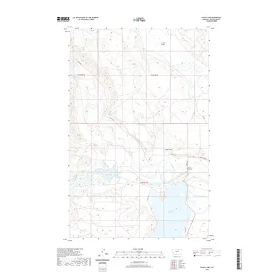
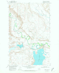 1968 Hewitt Lake1971 Print · USGSThe Milk River valley in late-1960s Phillips County reveals a landscape shaped by irrigation and conservation. Researchers can trace the rural infrastructure of the era, from the Cree Crossing Sch to the waters of Hewitt Lake and the Oxarart Dam.
 - 2011 Map of Hewitt Lake, 2011 Print
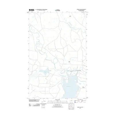 2011 Hewitt Lake2011 Print · USGSCovers Cree Crossing, including Phillips County, United States, and other nearby areas
 - 2014 Map of Hewitt Lake, 2014 Print
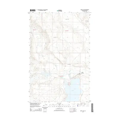 2014 Hewitt Lake2014 Print · USGSCovers Cree Crossing, including Phillips County, United States, and other nearby areas
 - 2017 Map of Hewitt Lake, 2017 Print
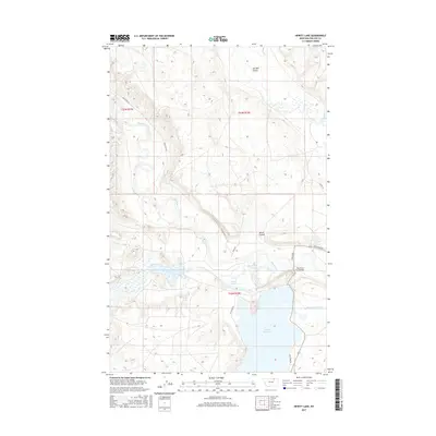 2017 Hewitt Lake2017 Print · USGSCovers Cree Crossing, including Phillips County, United States, and other nearby areas
 - 2020 Map of Hewitt Lake, 2020 Print
 2020 Hewitt Lake2020 Print · USGSCovers Cree Crossing, including Phillips County, United States, and other nearby areas
 - 2024 Map of Hewitt Lake, 2024 Print
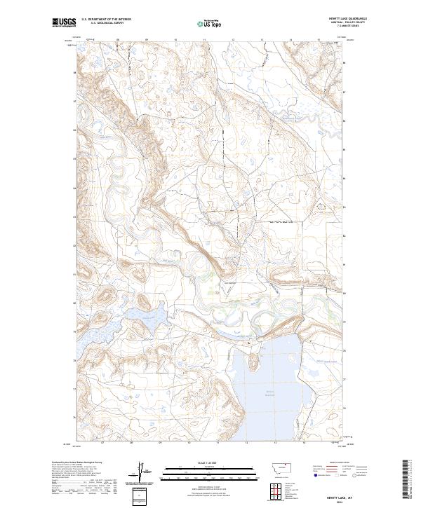 2024 Hewitt Lake2024 Print · USGSThe Montana prairie near the Milk River is a hub of wetland conservation and water management in the 2020s. Researchers can trace the boundaries of the Hewitt Lake National Wildlife Refuge and the shoreline of the Nelson Reservoir.
End of results
Showing maps 1-10 of 10
Top cities near Cree Crossing
Frequently asked questions
- What are the different types of historical maps available for Cree Crossing?
- What is the oldest map of Cree Crossing?
- Where can I purchase historical maps of Cree Crossing for my home or office?
- Where can I download high-res historical maps of Cree Crossing?
- Are there historical topographic maps available for Cree Crossing?
- Is there historical aerial imagery available for Cree Crossing?
- Where are historical maps of Cree Crossing sourced from?