Old Maps of Midale, Montana for Hiking & Exploration
Hike through history with 9 historic maps of Midale. Explore old trails, ghost towns, and forgotten backroads — perfect for outdoor adventurers and local explorers.
- Rediscover forgotten places: Map out old mining camps, roads, and footpaths that no longer exist on modern maps.
- Layer with modern tools: Combine with LiDAR or satellite views to plan hikes through historical terrain.
- Made for exploration: Popular among hikers, overlanders, and local history lovers.
Use these maps to find adventure and explore the hidden past of Midale.
Midale, MT maps
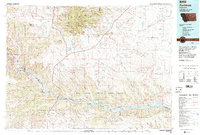
(9)- 1954 Map of Lewistown, 1967 Print
 1954 Lewistown1967 Print · USGSCentral Montana at the height of the mid-century rail era reveals a landscape shaped by the Judith River and high mountain ranges. Trace the old lines of the Great Northern through Lewistown and Denton, or locate sites like Giltedge and Landusky.3 unique versions available
 - 1959 Map of Lewistown
 1959 Lewistown1959 Print · USGSCentral Montana in the mid-1950s shows a landscape defined by the winding Missouri River and the rise of the South Moccasin Mtns. Researchers can trace the rail lines of the Great Northern through towns like Winifred and locate the Cat Creek Oil Field.3 unique versions available
 - 1965 Map of Veseth Reservoir, 1969 Print
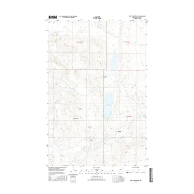
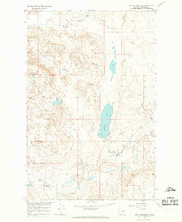 1965 Veseth Reservoir1969 Print · USGSPhillips County ranching and water management are the focus of this mid-century survey of the northern plains. Genealogists and historians can locate family landmarks such as the Veseth Ranch, the Midale Sch, and the winding course of Beaver Creek.
 - 1984 Map of Zortman
 1984 Zortman1984 Print · USGSCentral Montana in the mid-eighties shows a vast landscape of tribal lands and protected wilderness along the Missouri River breaks. Genealogists and historians can trace the remote settlements of Zortman and Landusky or locate landmarks like Mission Peak and D V Junction.
 - 2011 Map of Veseth Reservoir, 2011 Print
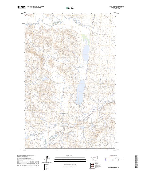
 2011 Veseth Reservoir2011 Print · USGSCovers Midale, including Phillips County, United States, and other nearby areas
 - 2014 Map of Veseth Reservoir, 2014 Print
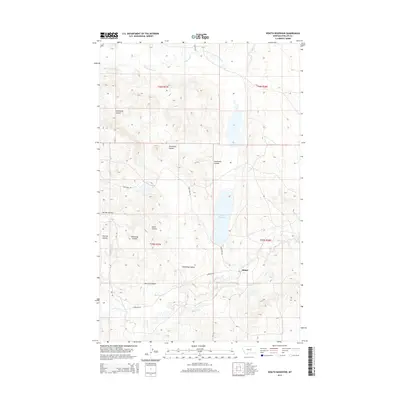 2014 Veseth Reservoir2014 Print · USGSCovers Midale, including Phillips County, United States, and other nearby areas
 - 2017 Map of Veseth Reservoir, 2017 Print
 2017 Veseth Reservoir2017 Print · USGSCovers Midale, including Phillips County, United States, and other nearby areas
 - 2020 Map of Veseth Reservoir, 2020 Print
 2020 Veseth Reservoir2020 Print · USGSCovers Midale, including Phillips County, United States, and other nearby areas
 - 2024 Map of Veseth Reservoir, 2024 Print
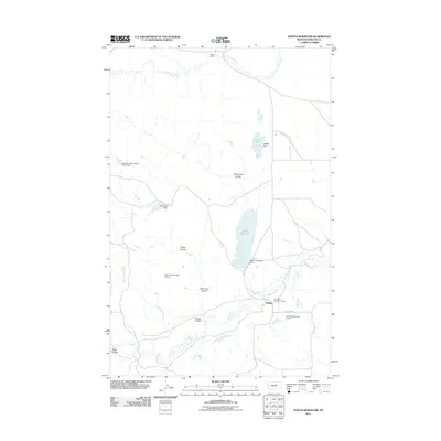
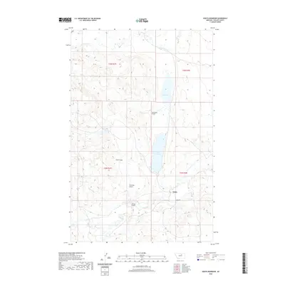
 2024 Veseth Reservoir2024 Print · USGSPhillips County's ranching and reservoir country is captured here in the mid-2020s, showing a landscape defined by seasonal water and wide-open spaces. Researchers can trace the drainage of Sevenmile Coulee into Veseth Reservoir or locate the settlement at Midale.
End of results
Showing maps 1-9 of 9
Frequently asked questions
- What are the different types of historical maps available for Midale?
- What is the oldest map of Midale?
- Where can I purchase historical maps of Midale for my home or office?
- Where can I download high-res historical maps of Midale?
- Are there historical topographic maps available for Midale?
- Is there historical aerial imagery available for Midale?
- Where are historical maps of Midale sourced from?