Old Maps of Sun Prairie, Montana for Academic Research
Study the evolution of Sun Prairie with 11 high-resolution historic maps. Whether you're teaching, researching, or modeling changes in land use, these maps provide essential visual documentation of urban, environmental, and geographic change.
- Analyze long-term change: Track patterns in development, transportation, and natural features.
- Ideal for environmental or urban studies: Support academic projects with primary historical map data.
- Use in the classroom or lab: Educators and researchers rely on these maps to bring historical context to life.
These maps are a powerful tool for teaching, research, and visualizing how Sun Prairie has changed over the decades.
Sun Prairie, MT maps
(11)- 1954 Map of Jordan, 1965 Print
 1954 Jordan1965 Print · USGSGarfield County in the mid-fifties is a land of expansive ranches and isolated prairie schoolhouses. Researchers can trace rural genealogy and land use through landmarks like Regina School, Robertson Brothers Ranch, and the Charles M Russell National Wildlife Range.2 unique versions available
 - 1956 Map of Jordan
 1956 Jordan1956 Print · USGSCentral Montana ranching country and the massive Missouri River impoundment are captured here in the mid-fifties. Researchers can trace remote homesteading landmarks like Robertson Brothers Ranch and small rural hubs including Jordan, Brusett, and Cohagen.
 - 1958 Map of Jordan
 1958 Jordan1958 Print · USGSGarfield County and the Missouri River country are shown here in the late fifties as the regional geography adjusted to the massive new reservoir. Genealogists and local historians can trace isolated homesteads and numerous rural schoolhouses like Iler School, Brusett, and the Robertson Brothers Ranch.
 - 1964 Map of Jordan
 1964 Jordan1964 Print · USGSGarfield County and the surrounding Montana prairie are captured in the mid-1950s as the Fort Peck Reservoir reshapes the northern landscape. Local historians can trace the locations of rural schoolhouses like South First Creek School and remote ranching outposts such as Brusett and Van Norman.
 - 1965 Map of Sun Prairie, 1969 Print
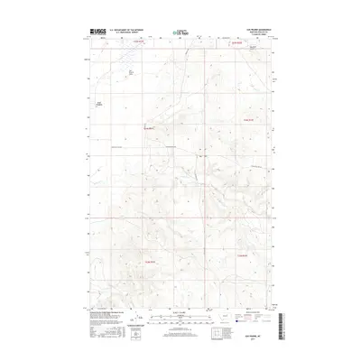
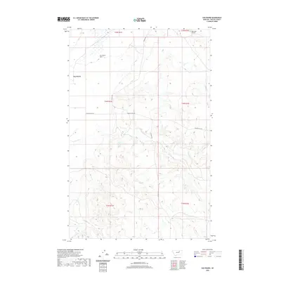
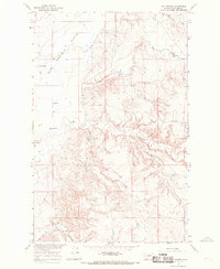 1965 Sun Prairie1969 Print · USGSPhillips County in the mid-sixties reveals a sparsely settled ranching landscape defined by the expansive Sun Prairie Flats. Genealogists and local researchers can locate the original Sun Prairie settlement site, the Sun Prairie Sch, and the winding paths of Telegraph Creek.3 unique versions available
 - 1978 Map of Fort Peck Lake West
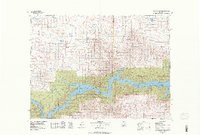 1978 Fort Peck Lake West1978 Print · USGSNorthern Montana plains and the Missouri River brakes are captured here in the late seventies. Researchers can trace remote outposts like Regina PO, the winding waters of Fort Peck Lake, and the solitary Coal Mine near the county line.2 unique versions available
 - 2011 Map of Sun Prairie, 2011 Print
 2011 Sun Prairie2011 Print · USGSCovers Sun Prairie, including Phillips County, United States, and other nearby areas
 - 2014 Map of Sun Prairie, 2014 Print
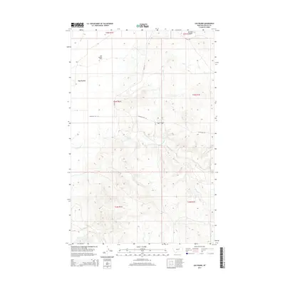 2014 Sun Prairie2014 Print · USGSCovers Sun Prairie, including Phillips County, United States, and other nearby areas
 - 2017 Map of Sun Prairie, 2017 Print
 2017 Sun Prairie2017 Print · USGSCovers Sun Prairie, including Phillips County, United States, and other nearby areas
 - 2020 Map of Sun Prairie, 2020 Print
 2020 Sun Prairie2020 Print · USGSCovers Sun Prairie, including Phillips County, United States, and other nearby areas
 - 2024 Map of Sun Prairie, 2024 Print
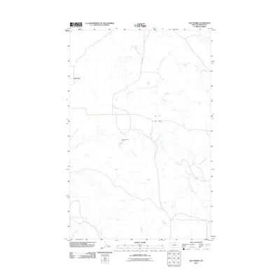
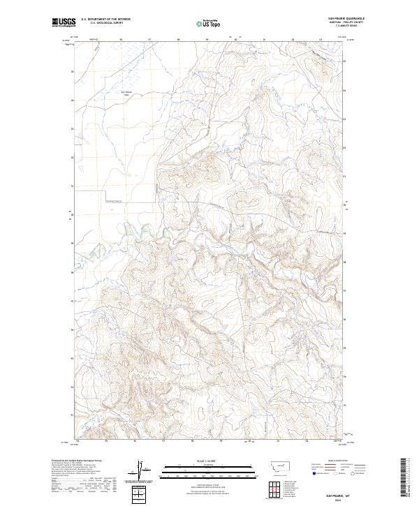 2024 Sun Prairie2024 Print · USGSPhillips County rangeland remains defined by its remote drainages and expansive flats in this recent survey of north-central Montana. Researchers can trace the paths of Telegraph Creek and Sun Prairie Flats along primitive routes like Fourchette Bay Rd.
End of results
Showing maps 1-11 of 11
Frequently asked questions
- What are the different types of historical maps available for Sun Prairie?
- What is the oldest map of Sun Prairie?
- Where can I purchase historical maps of Sun Prairie for my home or office?
- Where can I download high-res historical maps of Sun Prairie?
- Are there historical topographic maps available for Sun Prairie?
- Is there historical aerial imagery available for Sun Prairie?
- Where are historical maps of Sun Prairie sourced from?