Old Maps of Gallup City, Montana for Genealogy
Trace your family roots with 13 historic maps of Gallup City. These high-res maps reveal old neighborhoods, homesites, landmarks, and streets — helping you uncover where your ancestors lived and how the area evolved over time.
- Explore historic neighborhoods: Identify where your relatives may have lived in the 1800s or 1900s.
- Compare maps over time: Trace the changes in streets, buildings, and landmarks for multi-generational research.
- Perfect for genealogy & ancestry research: Used by family historians and researchers to map out lineage and migration.
These maps are an incredible resource for exploring your personal connection to Gallup City's past.
Gallup City, MT maps
(13)- 1920 Map of Dupuyer
 1920 Dupuyer1920 Print · USGSHigh plains ranching and early irrigation projects define this 1920s survey of the Montana frontier. Genealogists and historians can trace the early rail stops and homestead hubs at Valier, Pendroy, and Manson along the Montana Western R. R. line.
 - 1938 Map of Gallup City, 1942 Print
 1938 Gallup City1942 Print · USGSThe ranching country of Pondera and Teton counties comes to life in the late 1930s as a landscape of remote schoolhouses and family homesteads. Researchers can trace the legacy of early settlers at Graham Ranch or locate long-gone rural schools like Earhart Sch and Rowe Kamp Sch.2 unique versions available
 - 1942 Map of Gallup City, 1949 Print
 1942 Gallup City1949 Print · USGSThe Pondera and Teton County borderlands come to life in this pre-war survey, showing a landscape of high benches and deep coulees. Researchers can trace the rural school system at Porter Bench Sch and Erickson Sch, or locate family-named landmarks like Graham Ranch and Maucki.
 - 1960 Map of Cut Bank, 1968 Print
 1960 Cut Bank1968 Print · USGSThe high peaks of the Rockies meet the eastern plains in the 1960s, showing the intersection of federal lands and the Blackfeet Indian Reservation. Trace the path of the Great Northern railway and find local landmarks like the Blackfoot Boarding School and Family Mission Cem.3 unique versions available
 - 1963 Map of Cut Bank
 1963 Cut Bank1963 Print · USGSNorthern Montana’s mountain passes and high plains are captured here in the early 1960s. Genealogists and historians can trace the Great Northern rail stops from Browning to Ethridge or locate the remote outposts at Polebridge and Babb.
 - 1964 Map of Cut Bank
 1964 Cut Bank1964 Print · USGSGlacier National Park and the Blackfeet Indian Reservation meet in the early sixties at the triple divide of North America. Researchers can trace the Great Northern Railway through mountain passes and locate local landmarks like the Blackfoot Boarding School and Apgar Village.
 - 1984 Map of Valier
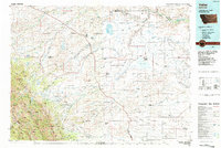 1984 Valier1984 Print · USGSNorthwestern Montana in the mid-1980s reveals a unique landscape of Hutterite agricultural colonies and high mountain wilderness. Genealogists and historians can trace the irrigation networks and rail stops from Valier to Birch Creek Colony and the Kellogg Mine.
 - 1985 Map of Gallup City, 1986 Print
 1985 Gallup City1986 Print · USGSGallup City and the oil fields of Teton and Pondera counties are captured here in the mid-eighties as a landscape of energy production and prairie ranching. Researchers can trace land features like Porter Bench or locate the local Cem and Aldrich Spring.
 - 2011 Map of Gallup City, 2011 Print
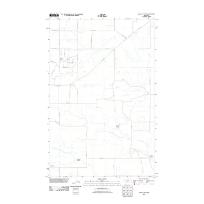 2011 Gallup City2011 Print · USGSPetroleum history and prairie drainage meet in Pondera County during the early twenty-first century. Researchers can trace the industrial footprint of the Pondera Oil Fld and locate vital water sources like Aldrich Spring and Healy Spring.
 - 2014 Map of Gallup City, 2014 Print
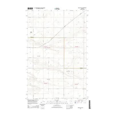 2014 Gallup City2014 Print · USGSGallup City and the surrounding high plains are shown here in the early twenty-first century, at the intersection of Pondera and Teton counties. Researchers can trace local energy history and family landmarks through Oilfield Rd, Aldrich Spring, and the Eyraud Lakes.
 - 2017 Map of Gallup City, 2017 Print
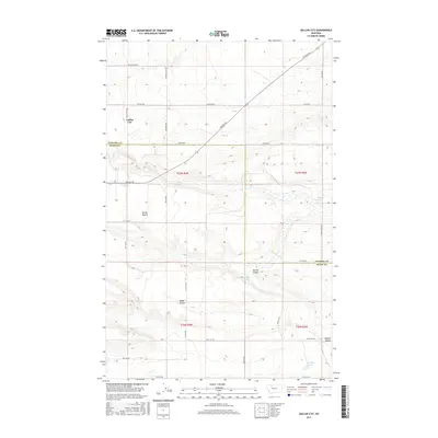 2017 Gallup City2017 Print · USGSGallup City and the surrounding oil fields on the Pondera and Teton County border are shown here in the late twenty-tens. Researchers can trace land use through names like Black Gold Rd or find isolated water sources such as Eyraud Lakes and Healy Spring.
 - 2020 Map of Gallup City, 2020 Print
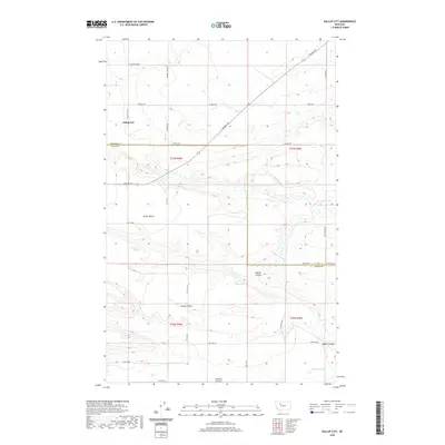 2020 Gallup City2020 Print · USGSThe Pondera and Teton county line meets near Gallup City in this modern survey of the Montana plains. Researchers can trace land use through specialized routes like Oilfield Rd and locate vital water sources like Noble Spring or the Eyraud Lakes.
 - 2024 Map of Gallup City, 2024 Print
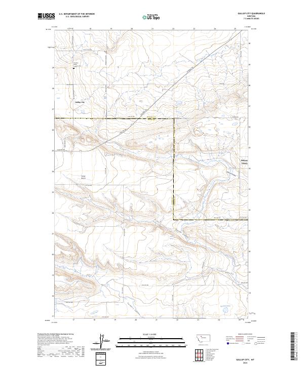 2024 Gallup City2024 Print · USGSThe borderlands of Pondera and Teton counties are captured here in the 2020s, revealing a landscape of high plateaus and remote rural settlements. Researchers can trace land use at Midway Colony or locate family roots at the Pondera Valley Lutheran Cem and Gallup City.
End of results
Showing maps 1-13 of 13
Top cities near Gallup City
Frequently asked questions
- What are the different types of historical maps available for Gallup City?
- What is the oldest map of Gallup City?
- Where can I purchase historical maps of Gallup City for my home or office?
- Where can I download high-res historical maps of Gallup City?
- Are there historical topographic maps available for Gallup City?
- Is there historical aerial imagery available for Gallup City?
- Where are historical maps of Gallup City sourced from?