Old Maps of Kuka Crossing, Montana for Hiking & Exploration
Hike through history with 13 historic maps of Kuka Crossing. Explore old trails, ghost towns, and forgotten backroads — perfect for outdoor adventurers and local explorers.
- Rediscover forgotten places: Map out old mining camps, roads, and footpaths that no longer exist on modern maps.
- Layer with modern tools: Combine with LiDAR or satellite views to plan hikes through historical terrain.
- Made for exploration: Popular among hikers, overlanders, and local history lovers.
Use these maps to find adventure and explore the hidden past of Kuka Crossing.
Kuka Crossing, MT maps
(13)- 1920 Map of Dupuyer
 1920 Dupuyer1920 Print · USGSHigh plains ranching and early irrigation projects define this 1920s survey of the Montana frontier. Genealogists and historians can trace the early rail stops and homestead hubs at Valier, Pendroy, and Manson along the Montana Western R. R. line.
 - 1934 Map of Lake Frances
 1934 Lake Frances1934 Print · USGSThe Blackfeet Reservation and Pondera County come alive in the mid-1930s, showing a complex network of canals and family ranching. Genealogists can trace family holdings like Wolsfad Ranch or locate the Lakeview Cem and several coal mines including the Slezic Mine.
 - 1937 Map of Lake Frances
 1937 Lake Frances1937 Print · USGSThe high plains of Pondera County come alive in the mid-1930s as irrigation projects and small-scale coal mining reshape the landscape. Genealogists and local historians can locate specific homesteads like Bartley Ranch, find long-forgotten mines including Blair Mine, or trace the grounds of the Lakeview Cem and State Fish Hatchery.3 unique versions available
 - 1960 Map of Cut Bank, 1968 Print
 1960 Cut Bank1968 Print · USGSThe high peaks of the Rockies meet the eastern plains in the 1960s, showing the intersection of federal lands and the Blackfeet Indian Reservation. Trace the path of the Great Northern railway and find local landmarks like the Blackfoot Boarding School and Family Mission Cem.3 unique versions available
 - 1963 Map of Cut Bank
 1963 Cut Bank1963 Print · USGSNorthern Montana’s mountain passes and high plains are captured here in the early 1960s. Genealogists and historians can trace the Great Northern rail stops from Browning to Ethridge or locate the remote outposts at Polebridge and Babb.
 - 1964 Map of Cut Bank
 1964 Cut Bank1964 Print · USGSGlacier National Park and the Blackfeet Indian Reservation meet in the early sixties at the triple divide of North America. Researchers can trace the Great Northern Railway through mountain passes and locate local landmarks like the Blackfoot Boarding School and Apgar Village.
 - 1984 Map of Valier
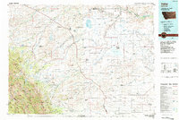 1984 Valier1984 Print · USGSNorthwestern Montana in the mid-1980s reveals a unique landscape of Hutterite agricultural colonies and high mountain wilderness. Genealogists and historians can trace the irrigation networks and rail stops from Valier to Birch Creek Colony and the Kellogg Mine.
 - 1985 Map of Kuka Crossing, 1986 Print
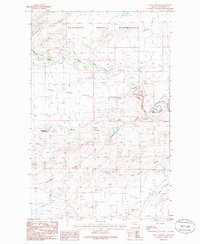 1985 Kuka Crossing1986 Print · USGSPondera County and reservation lands meet along the winding Birch Creek in the mid-1980s. Local historians and genealogists can trace the isolated Kingsbury Colony and key stream crossings like Kuka Crossing and Pierce Crossing as they appeared forty years ago.
 - 2011 Map of Kuka Crossing, 2011 Print
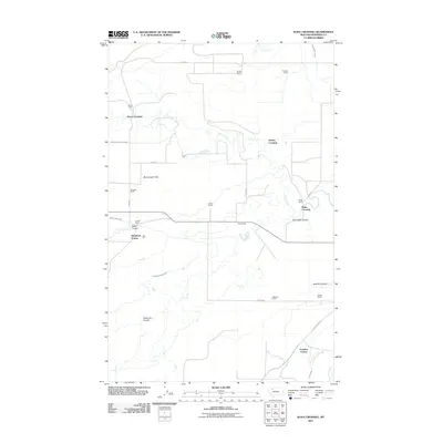 2011 Kuka Crossing2011 Print · USGSNorthwestern Montana ranching country is detailed here during the early twenty-first century, showing a landscape shaped by water and lineage. Genealogists can trace family holdings at Pierce Ranch and Wolstad Ranch or locate the historic Kuka Crossing.
 - 2014 Map of Kuka Crossing, 2014 Print
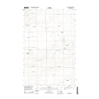 2014 Kuka Crossing2014 Print · USGSNorth-central Montana’s agricultural heartland is documented here in the early twenty-first century, showing the enduring communal settlements and irrigation networks of Pondera County. Genealogists and historians can trace the bounds of Kingsbury Colony and Pondera Colony or locate historic water crossings at Pierce Crossing and Kuka Crossing.
 - 2017 Map of Kuka Crossing, 2017 Print
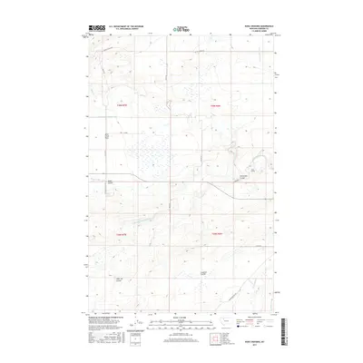 2017 Kuka Crossing2017 Print · USGSPondera County's high plains are revealed in this 2017 survey, showcasing a landscape of essential irrigation and remote ranching routes. Genealogists and local historians can trace family-named landmarks like Kuka Crossing, Sober Up Coulee, and Cartwright Coulee.
 - 2020 Map of Kuka Crossing, 2020 Print
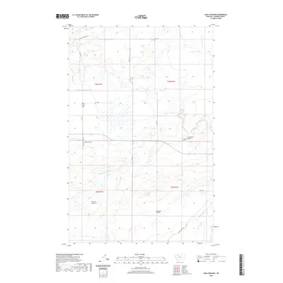 2020 Kuka Crossing2020 Print · USGSAgricultural water management and rural Montana topography are captured here during the early twenty-first century. Researchers can trace the path of irrigation works like the Twentytwo K Canal across the Aubrey Crossing area.
 - 2024 Map of Kuka Crossing, 2024 Print
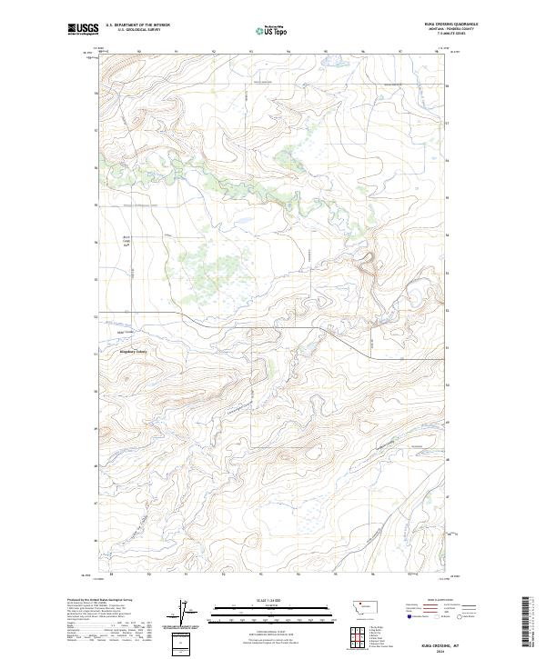 2024 Kuka Crossing2024 Print · USGSThe Pondera County plains are captured here in the early twenty-first century, showcasing an extensive network of agrarian water management. Researchers can trace the paths of the Thomas Williamson Ditch and B Four Ditch past Kingsbury Colony.
End of results
Showing maps 1-13 of 13
Top cities near Kuka Crossing
Frequently asked questions
- What are the different types of historical maps available for Kuka Crossing?
- What is the oldest map of Kuka Crossing?
- Where can I purchase historical maps of Kuka Crossing for my home or office?
- Where can I download high-res historical maps of Kuka Crossing?
- Are there historical topographic maps available for Kuka Crossing?
- Is there historical aerial imagery available for Kuka Crossing?
- Where are historical maps of Kuka Crossing sourced from?