Old Maps of Biddle, Montana for Genealogy
Trace your family roots with 11 historic maps of Biddle. These high-res maps reveal old neighborhoods, homesites, landmarks, and streets — helping you uncover where your ancestors lived and how the area evolved over time.
- Explore historic neighborhoods: Identify where your relatives may have lived in the 1800s or 1900s.
- Compare maps over time: Trace the changes in streets, buildings, and landmarks for multi-generational research.
- Perfect for genealogy & ancestry research: Used by family historians and researchers to map out lineage and migration.
These maps are an incredible resource for exploring your personal connection to Biddle's past.
Biddle, MT maps
(11)- 1954 Map of Ekalaka, 1966 Print
 1954 Ekalaka1966 Print · USGSSoutheastern Montana and its borderlands with the Dakotas and Wyoming appear here in the mid-fifties, showing a remote ranching landscape. Genealogists can trace family roots through numerous rural landmarks like the Sherwin School, St Marys Ch, and Powderville.3 unique versions available
 - 1956 Map of Ekalaka
 1956 Ekalaka1956 Print · USGSSoutheast Montana and the Wyoming borderlands are shown here in the mid-fifties, capturing a landscape of remote ranching outposts and isolated country schools. Genealogists can trace family roots through landmarks like Boyes, Alzada, and Peabody School.
 - 1958 Map of Ekalaka
 1958 Ekalaka1958 Print · USGSSoutheast Montana in the mid-fifties remains a landscape of isolated ranching outposts and scattered schoolhouses. Genealogists and researchers can trace rural life through landmarks like Belltower, the McClary Ranger Station, and numerous family-named schools such as Davidson School.
 - 1965 Map of Ekalaka
 1965 Ekalaka1965 Print · USGSThe High Plains of Montana and Wyoming appear here in the mid-1950s, as a sprawling landscape of remote ranchlands and rural school districts. Researchers can trace the locations of many small landmarks like Mitchell School, Broadus, and the Humbolt Hills.
 - 1970 Map of Biddle, 1973 Print
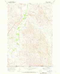 1970 Biddle1973 Print · USGSBiddle and the surrounding ranchlands are documented here as they appeared in the early 1970s. You can trace the Little Powder River and find landmarks like the local Landing Strip, the Gravel Pit, and various Drill Holes.
 - 1980 Map of Broadus
 1980 Broadus1980 Print · USGSSoutheastern Montana and the Wyoming borderlands are captured in the early 1980s, centered on the high plains and river breaks of the Powder River. Genealogists and historians can trace old ranching outposts like Moorhead, Epsie, and Biddle alongside landmarks like the Two Tree Mine.
 - 2011 Map of Biddle, 2011 Print
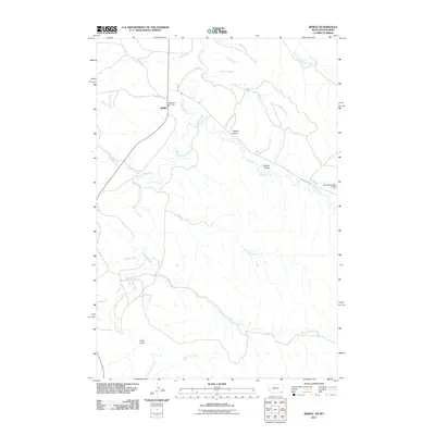 2011 Biddle2011 Print · USGSCovers Biddle, including Campbell County, Powder River County, and other nearby areas
 - 2014 Map of Biddle, 2014 Print
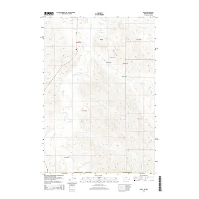 2014 Biddle2014 Print · USGSCovers Biddle, including Campbell County, Powder River County, and other nearby areas
 - 2017 Map of Biddle, 2017 Print
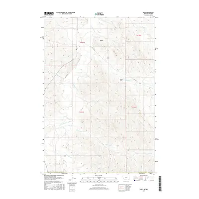 2017 Biddle2017 Print · USGSCovers Biddle, including Campbell County, Powder River County, and other nearby areas
 - 2020 Map of Biddle, 2020 Print
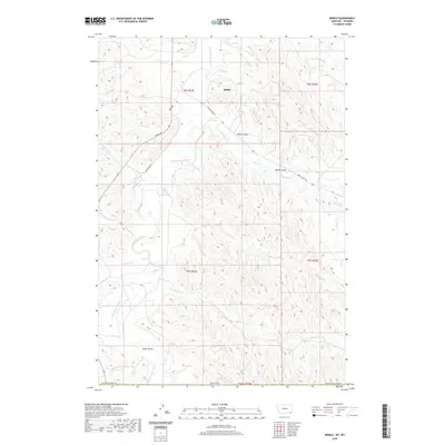 2020 Biddle2020 Print · USGSCovers Biddle, including Campbell County, Powder River County, and other nearby areas
 - 2024 Map of Biddle, 2024 Print
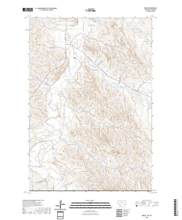 2024 Biddle2024 Print · USGSThe remote settlement of Biddle and the winding Little Powder River define this corner of Montana in 2024. Genealogists and researchers can trace local routes like Rumph Rd and find the site of the PO near the banks of Bobcat Creek.
End of results
Showing maps 1-11 of 11
Frequently asked questions
- What are the different types of historical maps available for Biddle?
- What is the oldest map of Biddle?
- Where can I purchase historical maps of Biddle for my home or office?
- Where can I download high-res historical maps of Biddle?
- Are there historical topographic maps available for Biddle?
- Is there historical aerial imagery available for Biddle?
- Where are historical maps of Biddle sourced from?