Old Maps of Willow Crossing, Montana
Explore 11 old maps of Willow Crossing, spanning from 1954 to today. These high-resolution historic maps reveal how streets, neighborhoods, landmarks, and natural features evolved over time — perfect for genealogy, metal detecting, research, and local history exploration.
What you can do with these maps:
- See how Willow Crossing changed over time: Compare historical maps to modern-day views to trace roads, homesites, rail lines & more.
- View detailed metadata: Each map includes creators, publishers, year, scale, and archive source.
- Overlay maps with satellite & LiDAR: Visualize the past alongside modern tools to explore terrain & human change.
- Trusted historical sources: Maps sourced from the USGS, Library of Congress, and other archives.
- Access maps your way: View online, download high-res files, or order prints for personal or research use.
Start exploring old maps of Willow Crossing to uncover forgotten places, hidden landmarks, and the deep history beneath your feet.
Willow Crossing, MT maps
(11)- 1954 Map of Hardin, 1964 Print
 1954 Hardin1964 Print · USGSSoutheastern Montana is documented here during the mid-fifties, showing the vast tribal lands and historic battle sites before modern highway expansion. Researchers can trace the Chicago Burlington and Quincy rail line through Hardin or locate the Custer National Cemetery and Museum.2 unique versions available
 - 1957 Map of Hardin
 1957 Hardin1957 Print · USGSSoutheastern Montana in the mid-fifties reveals a landscape shaped by tribal lands and the historic Bighorn river valleys. Researchers can trace the Chicago Burlington and Quincy RR through Hardin and locate the National Cemetery and Custer Battlefield Monument.
 - 1958 Map of Hardin
 1958 Hardin1958 Print · USGSSoutheastern Montana in the mid-fifties presents a landscape defined by significant tribal lands and national monuments. Researchers can trace the geography of the Little Bighorn at Custer Battlefield National Monument and locate settlements like Lame Deer and Birney.
 - 1966 Map of Willow Crossing, 1970 Print
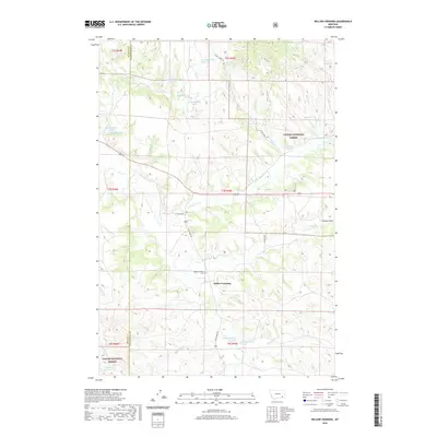
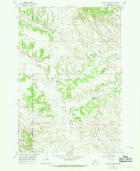 1966 Willow Crossing1970 Print · USGSPowder River and Rosebud County land in the mid-1960s features a working landscape of timber, mines, and small reservoirs. Researchers can locate the Willow Crossing Cem or trace activity at the Coal Creek Mine and Red Shale Campground.3 unique versions available
 - 1980 Map of Lame Deer
 1980 Lame Deer1980 Print · USGSHigh plains ranching and coal mining define this corner of Montana as the eighties began. Researchers can trace the rail lines of the Burlington Northern and locate sites like Colstrip, Jimtown, and the Big Sky Strip Mine.
 - 1995 Map of Willow Crossing, 1998 Print
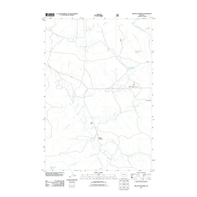
 1995 Willow Crossing1998 Print · USGSPowder River County ranching and mining lands are captured here in the mid-1990s, where the Rosebud County line meets the national forest. Trace local history at the Willow Crossing Cem or locate industrial sites like the Coal Creek Mine and Red Shale hills.
 - 2011 Map of Willow Crossing, 2011 Print
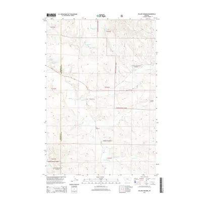
 2011 Willow Crossing2011 Print · USGSCovers Willow Crossing, including Rosebud County, Powder River County, and other nearby areas
 - 2014 Map of Willow Crossing, 2014 Print
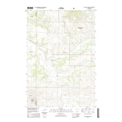
 2014 Willow Crossing2014 Print · USGSCovers Willow Crossing, including Rosebud County, Powder River County, and other nearby areas
 - 2017 Map of Willow Crossing, 2017 Print
 2017 Willow Crossing2017 Print · USGSCovers Willow Crossing, including Rosebud County, Powder River County, and other nearby areas
 - 2020 Map of Willow Crossing, 2020 Print
 2020 Willow Crossing2020 Print · USGSCovers Willow Crossing, including Rosebud County, Powder River County, and other nearby areas
 - 2024 Map of Willow Crossing, 2024 Print
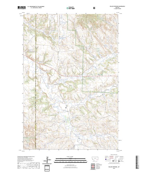 2024 Willow Crossing2024 Print · USGSSoutheastern Montana's high plains are mapped here in the modern era, straddling the Rosebud and Powder River county line. Researchers can locate the Willow Crossing Cem and trace the complex water systems of Willow Cr Reservoir and Otter Creek.
End of results
Showing maps 1-11 of 11
Frequently asked questions
- What are the different types of historical maps available for Willow Crossing?
- What is the oldest map of Willow Crossing?
- Where can I purchase historical maps of Willow Crossing for my home or office?
- Where can I download high-res historical maps of Willow Crossing?
- Are there historical topographic maps available for Willow Crossing?
- Is there historical aerial imagery available for Willow Crossing?
- Where are historical maps of Willow Crossing sourced from?