Old Maps of Crow Rock, Montana for Metal Detecting
Plan your next treasure hunt with 11 historic maps of Crow Rock. Find old homesites, ghost towns, trails, and gathering spots that may be lost to time — perfect for identifying promising metal detecting locations.
- Locate forgotten sites: Uncover places like long-lost settlements, abandoned rail lines, or gathering spots.
- Plan better hunts: Use map overlays combined with LiDAR or satellite views to narrow in on historically rich areas.
- Made for detectorists: Thousands of hobbyists use these maps to discover relics, coins, and hidden history.
Use these historic maps to boost your research and find new opportunities beneath the surface of Crow Rock.
Crow Rock, MT maps
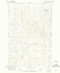
(11)- 1954 Map of Forsyth, 1966 Print
 1954 Forsyth1966 Print · USGSThe Yellowstone River valley and the northern high plains are captured here in the mid-1950s during a period of expanding energy and rail infrastructure. Genealogists and historians can trace rail sidings and cattle-country outposts like Ingomar, Vananda, and Angela.3 unique versions available
 - 1957 Map of Forsyth
 1957 Forsyth1957 Print · USGSSouth-central Montana in the late fifties is captured here through its dual-river geography and emergent energy economy. Researchers can trace the path of the Northern Pacific through Forsyth, locate the Ragged Point Oil Field, and find early sidings like Ahles Siding.
 - 1958 Map of Forsyth
 1958 Forsyth1958 Print · USGSMid-century Montana comes alive along the Yellowstone River and the competing transcontinental rail lines. Local historians can trace the legacy of the Northern Pacific through Forsyth or explore early oil developments at the Ragged Point Oil Field.
 - 1965 Map of Crow Rock, 1968 Print
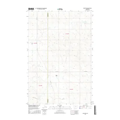
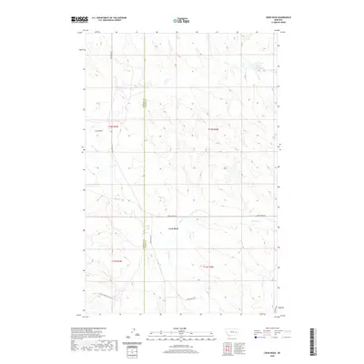
 1965 Crow Rock1968 Print · USGSThe Prairie and Garfield County line in the mid-sixties reveals a landscape of isolated ranching and water management. Researchers can trace the development of Dinosaur Dam, locate the settlement of Crow Rock, and follow the drainages of Ash Creek and Whites Creek.
 - 1979 Map of Angela
 1979 Angela1979 Print · USGSEastern Montana rangeland at the end of the seventies reveals a vast network of watercourses and isolated ranching outposts. Trace family land near Angela or locate remote landmarks like Steamboat Rock, Dinosaur Dam, and the intersection of four different county lines.
 - 1983 Map of Forsyth
 1983 Forsyth1983 Print · USGSEastern Montana's high plains and river valleys come into focus in the early eighties as the rail-and-ranching economy centered on the Yellowstone River. Researchers can trace the development of small rail towns like Hysham, Angela, and Ingomar alongside the Burlington Northern line.
 - 2011 Map of Crow Rock, 2011 Print
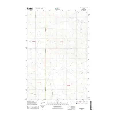
 2011 Crow Rock2011 Print · USGSCovers Crow Rock, including Garfield County, Prairie County, and other nearby areas
 - 2014 Map of Crow Rock, 2014 Print
 2014 Crow Rock2014 Print · USGSCovers Crow Rock, including Garfield County, Prairie County, and other nearby areas
 - 2017 Map of Crow Rock, 2017 Print
 2017 Crow Rock2017 Print · USGSCovers Crow Rock, including Garfield County, Prairie County, and other nearby areas
 - 2020 Map of Crow Rock, 2020 Print
 2020 Crow Rock2020 Print · USGSCovers Crow Rock, including Garfield County, Prairie County, and other nearby areas
 - 2024 Map of Crow Rock, 2024 Print
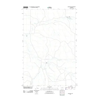
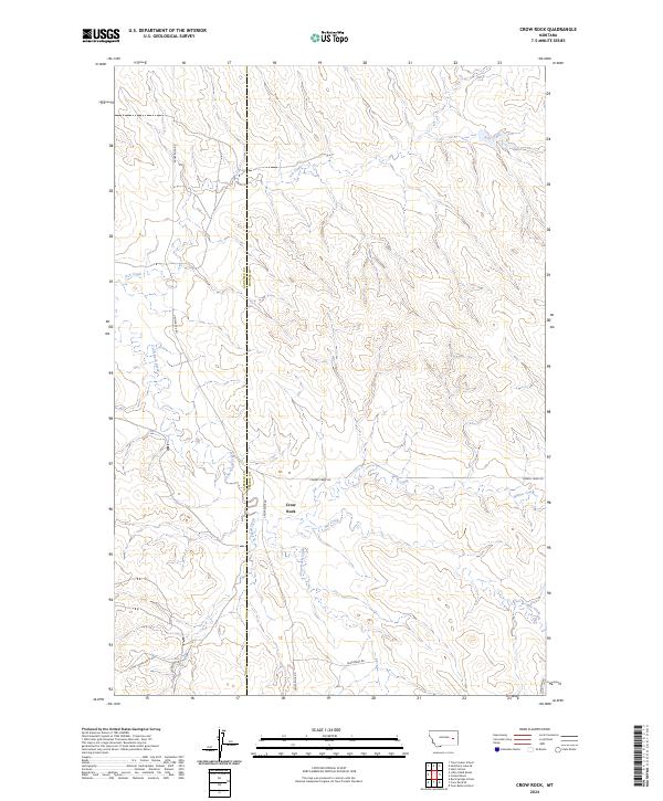 2024 Crow Rock2024 Print · USGSEastern Montana ranching country is documented here in the early twenty-first century, showing the divide between Garfield and Prairie counties. Researchers can trace remote landmarks like Crow Rock and follow local routes like Dead Mans Rd or Little Choke Butte Rd.
End of results
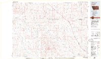
Showing maps 1-11 of 11
Frequently asked questions
- What are the different types of historical maps available for Crow Rock?
- What is the oldest map of Crow Rock?
- Where can I purchase historical maps of Crow Rock for my home or office?
- Where can I download high-res historical maps of Crow Rock?
- Are there historical topographic maps available for Crow Rock?
- Is there historical aerial imagery available for Crow Rock?
- Where are historical maps of Crow Rock sourced from?