Old Maps of Peaks and Pines Park, Montana
Explore 9 old maps of Peaks and Pines Park, spanning from 1956 to today. These high-resolution historic maps reveal how streets, neighborhoods, landmarks, and natural features evolved over time — perfect for genealogy, metal detecting, research, and local history exploration.
What you can do with these maps:
- See how Peaks and Pines Park changed over time: Compare historical maps to modern-day views to trace roads, homesites, rail lines & more.
- View detailed metadata: Each map includes creators, publishers, year, scale, and archive source.
- Overlay maps with satellite & LiDAR: Visualize the past alongside modern tools to explore terrain & human change.
- Trusted historical sources: Maps sourced from the USGS, Library of Congress, and other archives.
- Access maps your way: View online, download high-res files, or order prints for personal or research use.
Start exploring old maps of Peaks and Pines Park to uncover forgotten places, hidden landmarks, and the deep history beneath your feet.
Peaks and Pines Park, MT maps
(9)- 1956 Map of Elk City, 1963 Print
 1956 Elk City1963 Print · USGSThe Idaho backcountry in the mid-fifties remains a landscape of isolated mining camps and remote forest outposts. Researchers can trace historical mining operations at Stibnite Mine and Blackbird Mine or locate riverside landmarks like Mackay Bar and Campbell's Ferry.3 unique versions available
 - 1960 Map of Elk City
 1960 Elk City1960 Print · USGSThe Central Idaho wilderness and Bitterroot Range are captured here during the peak of mid-century industrial mining. Researchers can trace remote backcountry settlements like Burgdorf and Warren, alongside major mineral sites including the Blackbird Mine and Ima Mine.2 unique versions available
 - 1964 Map of Burnt Ridge, 1968 Print
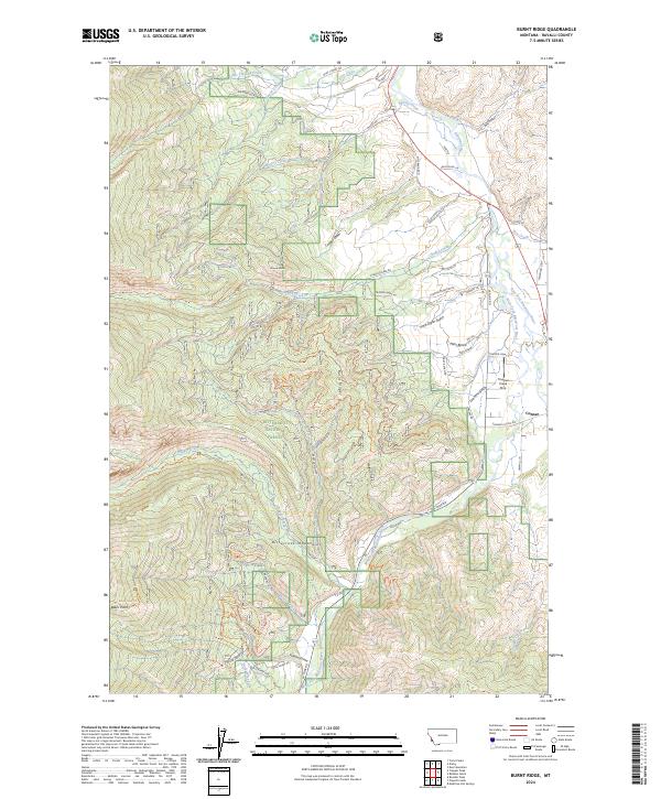
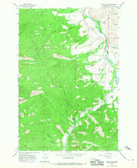 1964 Burnt Ridge1968 Print · USGSThe confluence of the Bitterroot River forks near Conner is captured in this mid-1960s survey. Genealogists and historians can trace the valley's development near John Bench or locate the Trapper Creek Rural Conservation Center.4 unique versions available
 - 1998 Map of Burnt Ridge, 2002 Print
 1998 Burnt Ridge2002 Print · USGSRavalli County’s river valleys and forest lands are captured in the late twentieth century, showing the meeting of the East and West Forks. Genealogists and historians can locate the Conner settlement and Trapper Creek Job Corps Center, or trace the banks of the Bitterroot River.
 - 2011 Map of Burnt Ridge, 2011 Print
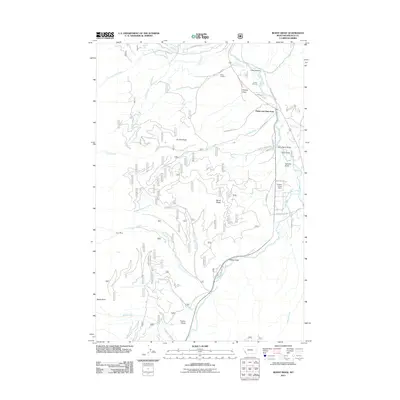 2011 Burnt Ridge2011 Print · USGSCovers Peaks and Pines Park, including Ravalli County, United States, and other nearby areas
 - 2014 Map of Burnt Ridge, 2014 Print
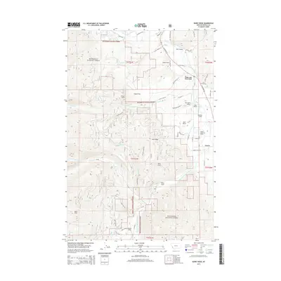 2014 Burnt Ridge2014 Print · USGSCovers Peaks and Pines Park, including Ravalli County, United States, and other nearby areas
 - 2017 Map of Burnt Ridge, 2017 Print
 2017 Burnt Ridge2017 Print · USGSCovers Peaks and Pines Park, including Ravalli County, United States, and other nearby areas
 - 2020 Map of Burnt Ridge, 2020 Print
 2020 Burnt Ridge2020 Print · USGSCovers Peaks and Pines Park, including Ravalli County, United States, and other nearby areas
 - 2024 Map of Burnt Ridge, 2024 Print
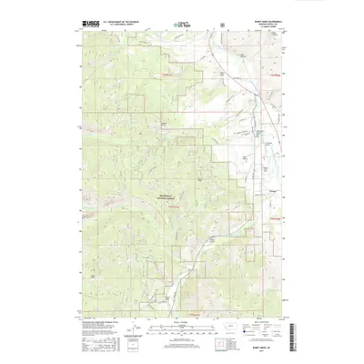
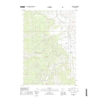
 2024 Burnt Ridge2024 Print · USGSThe Bitterroot Valley in the 2020s remains a landscape of river confluences and mountain access. Genealogists and historians can trace the geography around Conner and the drainage networks of Chaffin Creek and Trapper Creek.
End of results
Showing maps 1-9 of 9
Top cities near Peaks and Pines Park
Frequently asked questions
- What are the different types of historical maps available for Peaks and Pines Park?
- What is the oldest map of Peaks and Pines Park?
- Where can I purchase historical maps of Peaks and Pines Park for my home or office?
- Where can I download high-res historical maps of Peaks and Pines Park?
- Are there historical topographic maps available for Peaks and Pines Park?
- Is there historical aerial imagery available for Peaks and Pines Park?
- Where are historical maps of Peaks and Pines Park sourced from?