
1964 Map of Burnt Ridge
USGS Topo · Published 1968About this map
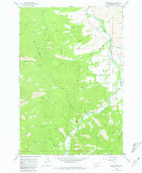
The confluence of the West Fork Bitterroot River and the East Fork Bitterroot River anchors this mid-1960s study of the Ravalli County landscape. This drainage basin, largely contained within the Bitterroot National Forest, shows a transition from the river valley floors to the high elevations of Burnt Ridge and Baker Point. The settlement of Conner stands at the junction where these river forks meet, serving as a focal point for local transport and small-scale development. Evidence of mid-century federal land management is visible at the Trapper Creek Rural Conservation Center, located along Little Trapper Creek. Higher elevations are traversed by the Pack Trail near Chaffin Creek, illustrating the era's reliance on traditional access routes for backcountry travel and forest maintenance.
Find a feature on this map
32 named features on this map. Tap any name to fly to it.
Don’t see what you’re looking for? This feature index may not catch every label — zoom into the map to look around manually.
Map Details
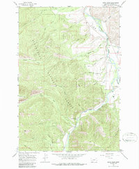
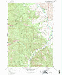
Editions of this 1964 Burnt Ridge Map
4 editions found
Other maps of this area

1901 · Hamilton
USGS Topo · 1:125,000

1956 · Elk City
USGS Topo · 1:250,000

1956 · Hamilton
USGS Topo · 1:250,000

1959 · Hamilton
USGS Topo · 1:250,000

1960 · Elk City
USGS Topo · 1:250,000

1960 · Hamilton
USGS Topo · 1:250,000

1964 · Hamilton
USGS Topo · 1:250,000

1964 · Boulder Peak
USGS Topo · 1:24,000

1964 · Darby
USGS Topo · 1:24,000
1964 · Trapper Peak
USGS Topo · 1:24,000