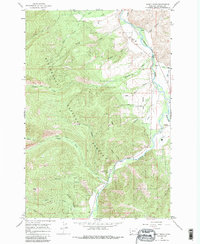
1964 Map of Burnt Ridge
USGS Topo · Published 1986About this map
Bitterroot National Forest dominates this mid-1960s landscape, where the confluence of the East Fork and West Fork forms the main stem of the Bitterroot River. Near this junction, the small settlement of Conner serves as a local focal point alongside a Gaging Sta and a Landing Strip on the valley floor. The geography here is defined by sharp elevation changes, from the heights of Baker Point down to the agricultural potential of Ogrin Bench.
Find a feature on this map
34 named features on this map. Tap any name to fly to it.
Don’t see what you’re looking for? This feature index may not catch every label — zoom into the map to look around manually.
Map Details
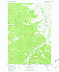
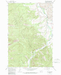
Editions of this 1964 Burnt Ridge Map
4 editions found
Other maps of this area

1901 · Hamilton
USGS Topo · 1:125,000

1956 · Elk City
USGS Topo · 1:250,000

1956 · Hamilton
USGS Topo · 1:250,000

1959 · Hamilton
USGS Topo · 1:250,000

1960 · Elk City
USGS Topo · 1:250,000

1960 · Hamilton
USGS Topo · 1:250,000

1964 · Hamilton
USGS Topo · 1:250,000

1964 · Burnt Ridge
USGS Topo · 1:24,000

1964 · Boulder Peak
USGS Topo · 1:24,000

1964 · Darby
USGS Topo · 1:24,000