2010s Maps of Ashland District, Montana
Explore 21 historic maps of Ashland District from the 2010s. These maps offer a rare glimpse into what life looked like during the 2010s — showing old roads, neighborhoods, homes, and landmarks that have changed or disappeared over time.
Whether you're researching your family's past, planning a metal detecting trip, or studying how Ashland District's landscape evolved across the 2010s, these high-resolution maps are a powerful tool for exploring the history of this region.
- Focus on a specific era: All maps on this page are from the 2010s, giving you a focused view of this time period.
- See what’s changed: Compare century-old streets, trails, and buildings to today's modern landscape using overlays and satellite layers.
- Research with precision: Use these maps for genealogy, historical research, land use analysis, or educational projects.
- View, download, or print: Maps are fully viewable online in high resolution, and can be downloaded or printed for your own records.
Start exploring Ashland District's history through authentic maps from the 2010s. This is your window into the past.
Ashland District, MT maps
(21)- 2011 Map of Ashland, 2011 Print
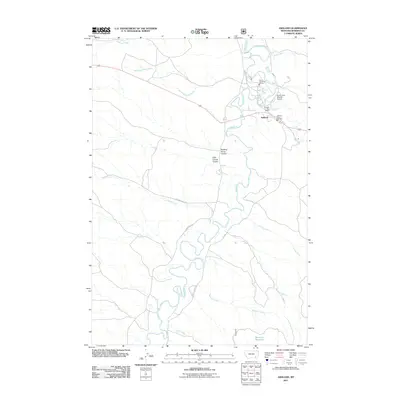 2011 Ashland2011 Print · USGSAshland and the surrounding Rosebud County ranchlands are documented here in the early twenty-first century. Researchers can trace the layout of the Saint Labre Mission, the Ashland Post Office, and water resources like the Tongue River and Bowman Reservoir.
 - 2011 Map of Green Creek, 2011 Print
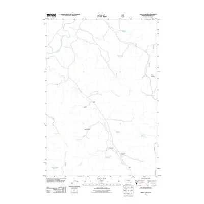 2011 Green Creek2011 Print · USGSThis part of Rosebud County during the early 2000s showcases a landscape of high-plains ranching and water management. Researchers can locate specific family-named landmarks and water sources like O'Dell Windmill, Schaudel Reservoir, and Pittman Draw.
 - 2011 Map of Garfield Peak, 2011 Print
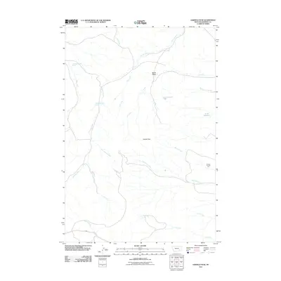 2011 Garfield Peak2011 Print · USGSThis part of Rosebud County in the early twenty-first century remains a landscape of remote ranching outposts and deep coulees. Researchers can locate the Wood Place and the unique Burning Coal Vein Area, or trace the vital waters of Greenleaf Creek and Fields Reservoir.
 - 2011 Map of Ashland NE, 2011 Print
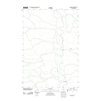 2011 Ashland NE2011 Print · USGSThe Tongue River valley in Rosebud County comes to life in the early twenty-first century, showing the enduring ranching and river-fed landscape. Trace local landmarks like Double E Coulee, Reservation Creek, and the isolated Wakefield Spring across this high plains terrain.
 - 2011 Map of Hollowwood Creek, 2011 Print
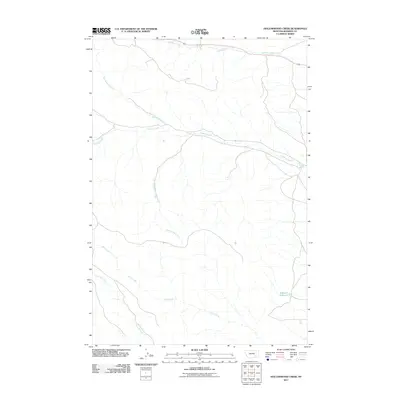 2011 Hollowwood Creek2011 Print · USGSRosebud County, Montana, is shown here at the start of the 2010s, revealing the complex drainage of the Birney District. Genealogists and researchers can trace the winding paths of Hollowwood Creek and Stebbins Creek or locate the site of Bighead Reservoir.
 - 2011 Map of Birney Day School, 2011 Print
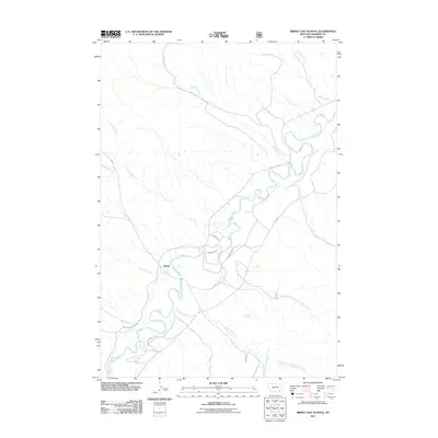 2011 Birney Day School2011 Print · USGSThe Tongue River valley in Rosebud County comes to life on this map from the early 2010s, showcasing the rural community of Birney. Genealogists and researchers can trace local water rights and land use via the Cheyenne Ditch, Section Line Spring, and the winding Tongue River.
 - 2011 Map of Fisher Butte, 2011 Print
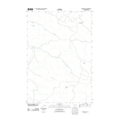 2011 Fisher Butte2011 Print · USGSRosebud County’s high plains and industrial history are visible here in the early twenty-first century. Researchers can trace the legacy of land and water use through the Lame Deer Strip Mine, Crazy Head Pond Number 3 Dam, and family-named landmarks like Fisher Butte.
 - 2014 Map of Garfield Peak, 2014 Print
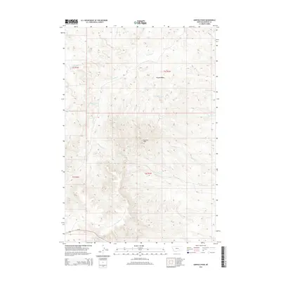 2014 Garfield Peak2014 Print · USGSThe northern reaches of the Ashland District are mapped here in the early twenty-first century, showing a landscape defined by ranching life and rugged drainages. Researchers can locate the Wood Place or trace the paths of Hollowbreast Cr and Reservation Cr through these high Montana plains.
 - 2014 Map of Birney Day School, 2014 Print
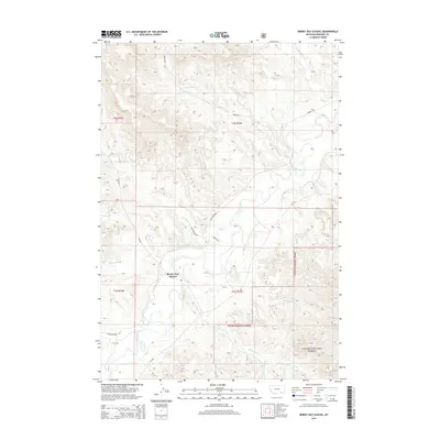 2014 Birney Day School2014 Print · USGSThe Birney District of Rosebud County is shown here in the early twenty-first century, centered on the Birney Day School and the Tongue River valley. Genealogists and local historians can trace the irrigation systems of the Cheyenne Ditch and the remote reaches of the Custer National Forest.
 - 2014 Map of Ashland NE, 2014 Print
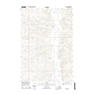 2014 Ashland NE2014 Print · USGSThe Tongue River valley in Rosebud County comes into focus in this early twenty-first-century survey of Montana's Ashland District. Researchers can map the hydrologic layout of the region, tracing the winding Tongue River and local landmarks like Wakefield Spring and Rice Coulee.
 - 2014 Map of Fisher Butte, 2014 Print
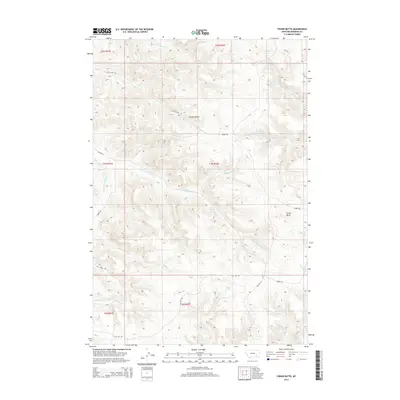 2014 Fisher Butte2014 Print · USGSThe ranchlands of Rosebud County are documented here in the early twenty-first century, showing a landscape shaped by narrow gulches and essential water sources. Genealogists and researchers can trace local landmarks like Fisher Butte, Soldier Gulch, and Spang Spring.
 - 2014 Map of Hollowwood Creek, 2014 Print
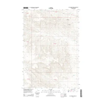 2014 Hollowwood Creek2014 Print · USGSSouthern Rosebud County is mapped here during the early twenty-first century, showcasing a landscape of high plains drainage and ranching access. Researchers can trace the paths of Hollowwood Creek and Walking Horse Coulee, or locate Bighead Reservoir and Patrick Spring.
 - 2014 Map of Ashland, 2014 Print
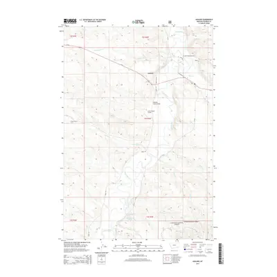 2014 Ashland2014 Print · USGSThe Tongue River valley and the settlement of Ashland come into focus in this early twenty-first-century survey of Rosebud County. Researchers can trace land use patterns around the St Labre Mission and find local landmarks such as Bowman Reservoir and Walking Horse Coulee.
 - 2014 Map of Green Creek, 2014 Print
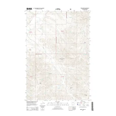 2014 Green Creek2014 Print · USGSCuster National Forest and the Rosebud County ranching country are mapped here during the early twenty-first century. Researchers can trace land use patterns through numerous named water catchments like Poker Teechee Reservoir and landmarks such as Black Canyon.
 - 2017 Map of Fisher Butte, 2017 Print
 2017 Fisher Butte2017 Print · USGSSoutheastern Montana's high plains and deep gulches are captured here in the years following the millennium. Researchers can trace the winding paths of Lame Deer Cr and locate remote water sources such as Crazy Head Spring and Spang Spring near Fisher Butte.
 - 2017 Map of Hollowwood Creek, 2017 Print
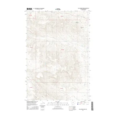 2017 Hollowwood Creek2017 Print · USGSRosebud County, Montana, is shown here in the 2010s, focused on the drainage basins and grazing lands of the Birney District. Researchers can trace the courses of Hollowwood Cr and Logging Cr or locate the Bighead Reservoir and Patrick Spring.
 - 2017 Map of Birney Day School, 2017 Print
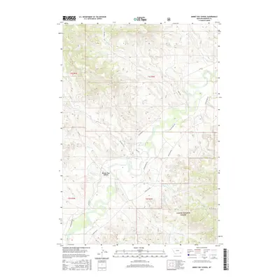 2017 Birney Day School2017 Print · USGSThe Tongue River valley comes to life in this modern survey of south-central Montana. Researchers can locate the Birney Day School, trace the Cheyenne Ditch, and explore the drainage networks of Poker Jim Cr and Kelly Cr.
 - 2017 Map of Ashland, 2017 Print
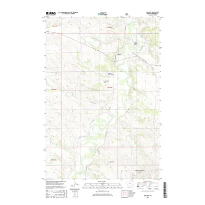 2017 Ashland2017 Print · USGSThe settlement of Ashland and the Tongue River valley are documented here in the early twenty-first century. Researchers can trace the grounds of the St Labre Mission, explore the southern reaches of Custer National Forest, and follow the winding path of Logging Cr.
 - 2017 Map of Garfield Peak, 2017 Print
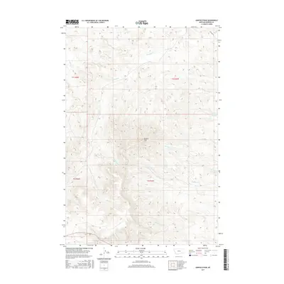 2017 Garfield Peak2017 Print · USGSMontana's Rosebud County reveals a network of high ridges and deep creek beds in the Ashland District during the early twenty-first century. Researchers can trace the drainages of Hollowbreast Cr and Reservation Cr or locate landmarks like Garfield Peak and Fields Reservoir.
 - 2017 Map of Green Creek, 2017 Print
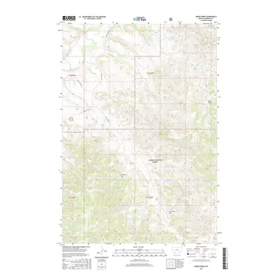 2017 Green Creek2017 Print · USGSSoutheast Montana ranching country is documented here in the late twenty-tens, showing the managed drainages of the Tongue River and Custer National Forest. Researchers can locate isolated water sources and landmarks like Black Canyon, Schaudel Reservoir, and King Cr Spring.
 - 2017 Map of Ashland NE, 2017 Print
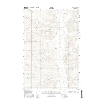 2017 Ashland NE2017 Print · USGSThe Tongue River valley in Rosebud County is shown here in the late twenty-teens, revealing a landscape shaped by water and tradition. Local researchers can trace family-named features like Colbert Coulee and Wakefield Spring alongside rural routes like Amish Ln.
End of results
Showing maps 1-21 of 21
Top neighborhoods of Ashland District
Frequently asked questions
- What are the different types of historical maps available for Ashland District?
- What is the oldest map of Ashland District?
- Where can I purchase historical maps of Ashland District for my home or office?
- Where can I download high-res historical maps of Ashland District?
- Are there historical topographic maps available for Ashland District?
- Is there historical aerial imagery available for Ashland District?
- Where are historical maps of Ashland District sourced from?