Old Maps of Childs, Montana for Academic Research
Study the evolution of Childs with 11 high-resolution historic maps. Whether you're teaching, researching, or modeling changes in land use, these maps provide essential visual documentation of urban, environmental, and geographic change.
- Analyze long-term change: Track patterns in development, transportation, and natural features.
- Ideal for environmental or urban studies: Support academic projects with primary historical map data.
- Use in the classroom or lab: Educators and researchers rely on these maps to bring historical context to life.
These maps are a powerful tool for teaching, research, and visualizing how Childs has changed over the decades.
Childs, MT maps
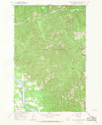
(11)- 1937 Map of Thompson Falls
 1937 Thompson Falls1937 Print · USGSThe Clark Fork river valley and the high Cabinet Mountains are documented here in the mid-1930s. Genealogists and researchers can trace the early railroad communities of Thompson Falls and Belknap or locate the Silver Butte Fisher Sch and Bend Ranger Sta.2 unique versions available
 - 1956 Map of Wallace, 1966 Print
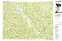
 1956 Wallace1966 Print · USGSWestern Montana and the Idaho panhandle meet in this mid-century survey of the Bitterroot and Cabinet Mountains. Genealogists and historians can trace the rail-and-river economy through the Northern Pacific line and settlements like Thompson Falls or St. Ignatius.3 unique versions available
 - 1960 Map of Wallace
 1960 Wallace1960 Print · USGSNorthwestern Montana and the Idaho panhandle are captured in the late fifties, showing the vast Flathead Indian Reservation and the mining districts of the Bitterroot Range. Researchers can trace the rail lines of the Northern Pacific or locate early sites like the Morning Mine and the National Bison Range.
 - 1966 Map of Seven Point Mountain, 1970 Print
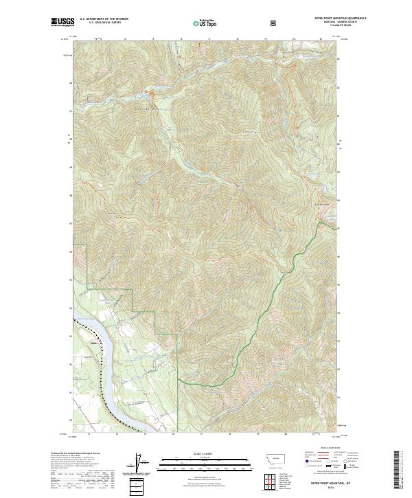
 1966 Seven Point Mountain1970 Print · USGSSanders County mountains meet the Clark Fork valley in the mid-sixties, showing the intersection of rail transport and backcountry wilderness. Genealogists and hikers can trace the Northern Pacific line past Childs or follow historic routes like the Elk Mountain Trail.
 - 1992 Map of Thompson Falls, 1993 Print
 1992 Thompson Falls1993 Print · USGSNorthwest Montana in the early nineties is defined here by the winding Clark Fork and its major impoundments. Researchers can trace the river-valley settlements of Noxon, Trout Creek, and Thompson Falls or locate mining sites like the Copper King Mine.
 - 1997 Map of Seven Point Mountain, 2000 Print
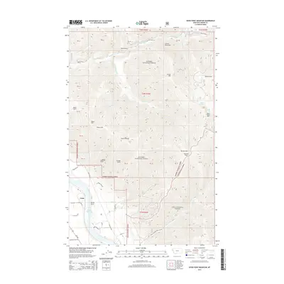
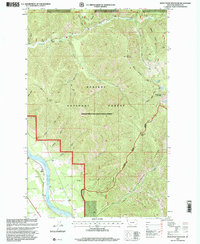 1997 Seven Point Mountain2000 Print · USGSThe Sanders County backcountry in the late nineties is detailed here, where the mountain peaks of the Kaniksu and Lolo forests meet. Trace old routes like the Cataract Creek Trail or locate the small riverside settlement at Childs on the Clark Fork.
 - 2011 Map of Seven Point Mountain, 2011 Print
 2011 Seven Point Mountain2011 Print · USGSCovers Childs, including Sanders County, United States, and other nearby areas
 - 2014 Map of Seven Point Mountain, 2014 Print
 2014 Seven Point Mountain2014 Print · USGSCovers Childs, including Sanders County, United States, and other nearby areas
 - 2017 Map of Seven Point Mountain, 2017 Print
 2017 Seven Point Mountain2017 Print · USGSCovers Childs, including Sanders County, United States, and other nearby areas
 - 2020 Map of Seven Point Mountain, 2020 Print
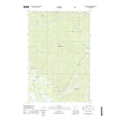 2020 Seven Point Mountain2020 Print · USGSCovers Childs, including Sanders County, United States, and other nearby areas
 - 2024 Map of Seven Point Mountain, 2024 Print
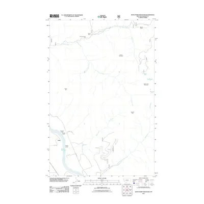
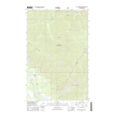
 2024 Seven Point Mountain2024 Print · USGSSanders County at the modern edge of the wilderness shows a landscape shaped by the Cabinet Mountains and national forest boundaries. Researchers can trace high-altitude trails to Grouse Lake, identify drainage patterns in Lyons Gulch, and locate the riverbank settlement of Childs.
End of results
Showing maps 1-11 of 11
Top cities near Childs
Frequently asked questions
- What are the different types of historical maps available for Childs?
- What is the oldest map of Childs?
- Where can I purchase historical maps of Childs for my home or office?
- Where can I download high-res historical maps of Childs?
- Are there historical topographic maps available for Childs?
- Is there historical aerial imagery available for Childs?
- Where are historical maps of Childs sourced from?