Old Maps of Weeksville, Montana
Explore 10 old maps of Weeksville, spanning from 1956 to today. These high-resolution historic maps reveal how streets, neighborhoods, landmarks, and natural features evolved over time — perfect for genealogy, metal detecting, research, and local history exploration.
What you can do with these maps:
- See how Weeksville changed over time: Compare historical maps to modern-day views to trace roads, homesites, rail lines & more.
- View detailed metadata: Each map includes creators, publishers, year, scale, and archive source.
- Overlay maps with satellite & LiDAR: Visualize the past alongside modern tools to explore terrain & human change.
- Trusted historical sources: Maps sourced from the USGS, Library of Congress, and other archives.
- Access maps your way: View online, download high-res files, or order prints for personal or research use.
Start exploring old maps of Weeksville to uncover forgotten places, hidden landmarks, and the deep history beneath your feet.
Weeksville, MT maps
(10)- 1956 Map of Wallace, 1966 Print
 1956 Wallace1966 Print · USGSWestern Montana and the Idaho panhandle meet in this mid-century survey of the Bitterroot and Cabinet Mountains. Genealogists and historians can trace the rail-and-river economy through the Northern Pacific line and settlements like Thompson Falls or St. Ignatius.3 unique versions available
 - 1960 Map of Wallace
 1960 Wallace1960 Print · USGSNorthwestern Montana and the Idaho panhandle are captured in the late fifties, showing the vast Flathead Indian Reservation and the mining districts of the Bitterroot Range. Researchers can trace the rail lines of the Northern Pacific or locate early sites like the Morning Mine and the National Bison Range.
 - 1964 Map of Weeksville, 1967 Print
 1964 Weeksville1967 Print · USGSThe Clark Fork valley and the Thompson River confluence are captured in the mid-1960s, showing a critical Montana transit corridor. Researchers can trace the Northern Pacific rail line and locate old sites like Weeksville, The Pines, and the Gravel Pit.
 - 1980 Map of Polson, 1982 Print
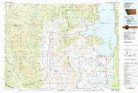 1980 Polson1982 Print · USGSThe Flathead Indian Reservation and its surrounding timberlands are captured here in the early eighties. Genealogists and historians can trace the development of Polson, locate remote sites like the Flathead Mine, and follow the Burlington Northern rail line through Pablo and Ronan.
 - 1999 Map of Weeksville, 2003 Print
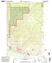 1999 Weeksville2003 Print · USGSSanders County at the close of the millennium shows a landscape defined by the Clark Fork and its tributaries. Researchers can trace the riverfront developments at Weeksville and The Pines or locate the interior creeks of the Lolo National Forest.
 - 2011 Map of Weeksville, 2011 Print
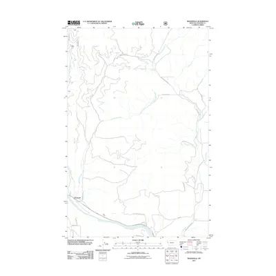 2011 Weeksville2011 Print · USGSSanders County, Montana, is shown here in the Clark Fork river valley during the early twenty-first century. Researchers can trace the river's path past Weeksville and The Pines or follow historic routes like Wagon Rd and Old County Rd.
 - 2014 Map of Weeksville, 2014 Print
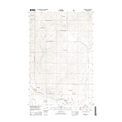 2014 Weeksville2014 Print · USGSThe Clark Fork river valley and the foothills of the Lolo National Forest define this Sanders County landscape in the early twenty-first century. Researchers can trace rural development and water rights along Buffalo Bill Cr, Weeksville, and Jones Ranch Rd.
 - 2017 Map of Weeksville, 2017 Print
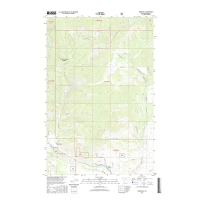 2017 Weeksville2017 Print · USGSWeeksville and the Clark Fork valley are captured here during the late 2010s, showcasing a mix of forest service land and private ranching. Genealogists and local historians can trace modern property access via Jones Ranch Rd and Baldy View Ln along Lynch Cr.
 - 2020 Map of Weeksville, 2020 Print
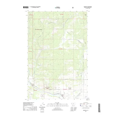 2020 Weeksville2020 Print · USGSThe Clark Fork valley and the surrounding timberlands of the Lolo National Forest are shown in detail during the early twenty-first century. Researchers can trace the drainage of Weeksville Creek or locate local landmarks like Jones Ranch Rd and the Sec 6 Substation Rd.
 - 2024 Map of Weeksville, 2024 Print
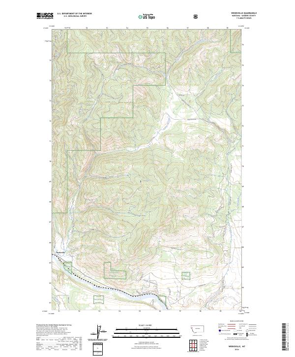 2024 Weeksville2024 Print · USGSThe Sanders County backcountry near the Cabinet Mountains is captured here in the early twenty-first century as it borders the Clark Fork. Researchers can trace the drainages of Buffalo Bill Creek and Lynch Creek or locate local landmarks like Old Hicks Rd and Weeksville.
End of results
Showing maps 1-10 of 10
Top cities near Weeksville
Frequently asked questions
- What are the different types of historical maps available for Weeksville?
- What is the oldest map of Weeksville?
- Where can I purchase historical maps of Weeksville for my home or office?
- Where can I download high-res historical maps of Weeksville?
- Are there historical topographic maps available for Weeksville?
- Is there historical aerial imagery available for Weeksville?
- Where are historical maps of Weeksville sourced from?