Old Maps of Medicine Lake, Montana for Metal Detecting
Plan your next treasure hunt with 32 historic maps of Medicine Lake. Find old homesites, ghost towns, trails, and gathering spots that may be lost to time — perfect for identifying promising metal detecting locations.
- Locate forgotten sites: Uncover places like long-lost settlements, abandoned rail lines, or gathering spots.
- Plan better hunts: Use map overlays combined with LiDAR or satellite views to narrow in on historically rich areas.
- Made for detectorists: Thousands of hobbyists use these maps to discover relics, coins, and hidden history.
Use these historic maps to boost your research and find new opportunities beneath the surface of Medicine Lake.
Medicine Lake, MT maps
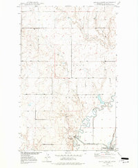
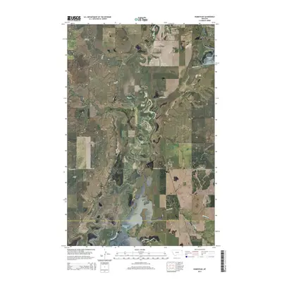
(32)- 1914 Map of Homestead
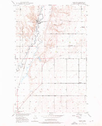
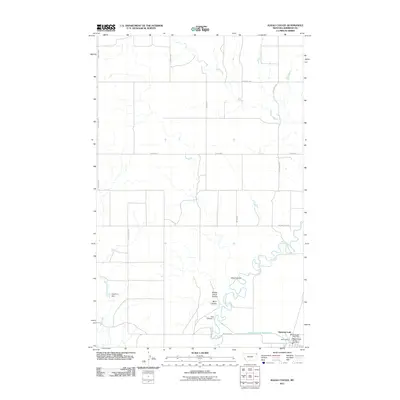
 1914 Homestead1914 Print · USGSNortheastern Montana ranching country comes into focus in this early twentieth-century survey of the Big Muddy Creek valley. Genealogists can trace the location of the Le Clair School and pioneer outposts like Scott Ranch and Walker's Ranch along the rail line.
 - 1947 Map of Homestead, 1989 Print
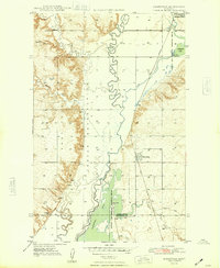
 1947 Homestead1989 Print · USGSNortheastern Montana ranching and rail life are detailed here in the late Forties, showing the intersection of the Missouri River country and the Great Plains. You can trace the small-town layouts of Homestead and McCabe near the shores of Medicine Lake and the winding Big Muddy Creek.
 - 1948 Map of Homestead
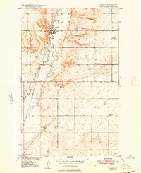
 1948 Homestead1948 Print · USGSNortheastern Montana's high plains are captured here just after the war, showing the vital intersection of rail and water near the Fort Peck Indian Reservation. Researchers can trace the Great Northern rail line through the settlements of Homestead and McCabe alongside the waters of Big Muddy Creek.2 unique versions available
 - 1948 Map of Medicine Lake, 1976 Print
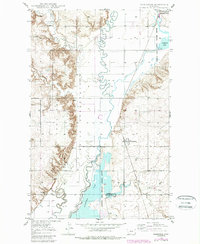
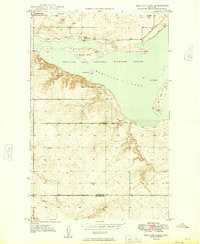
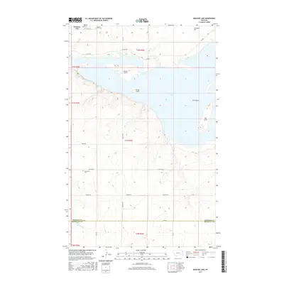
 1948 Medicine Lake1976 Print · USGSSheridan County's high plains were undergoing significant federal management in the late 1940s as the Medicine Lake National Wildlife Refuge was documented. Genealogists and local historians can locate early landmarks like Medicine Lake Cem, the Zich Sch, and family-named features like Umbrights Hill.3 unique versions available
 - 1948 Map of Reserve, 1976 Print
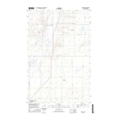
 1948 Reserve1976 Print · USGSSheridan County's high plains are documented here in the late 1940s as the rail-side economy of Reserve thrived along the Great Northern line. Genealogists can trace early homestead-era landmarks like the Cem, Eden Valley Sch, and the local Coal Mine.2 unique versions available
 - 1948 Map of Alkali Coulee, 1977 Print
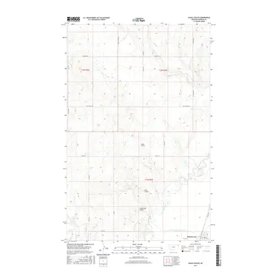
 1948 Alkali Coulee1977 Print · USGSSheridan County's high plains come into focus shortly after the war, showing the vital connection between the railway and the land. Researchers can trace the path of the Great Northern into Medicine Lake or locate landmarks like the Rose Valley Sch and a local Coal Mine.3 unique versions available
 - 1949 Map of Reserve
 1949 Reserve1949 Print · USGSSheridan County and the northeastern corner of the Fort Peck Indian Reservation are captured here just after the war. Local historians can trace the Great Northern rail corridor through Reserve or locate school sites like Eden Valley Sch and Smith Sch (Aban'd).
 - 1949 Map of Alkali Coulee
 1949 Alkali Coulee1949 Print · USGSSheridan County's high plains and reservation lands are captured here in the late Forties, showing a landscape defined by rail and water. Genealogists and researchers can trace the Great Northern tracks into Medicine Lake or locate the rural Rose Valley Sch.
 - 1949 Map of Medicine Lake
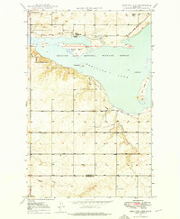
 1949 Medicine Lake1949 Print · USGSNortheastern Montana's prairie wetlands were under careful management in the late 1940s as this survey of the Medicine Lake National Wildlife Refuge was completed. Researchers can locate the Medicine Lake Cem, trace the Refuge Patrol Trail, or find the old Zieh Sch.
 - 1954 Map of Wolf Point, 1967 Print
 1954 Wolf Point1967 Print · USGSNortheastern Montana and the North Dakota borderlands are shown here in the mid-fifties, dominated by the Missouri River and the Fort Peck Indian Reservation. Genealogists and historians can trace the Great Northern rail line through river towns like Poplar and Culbertson or locate northern border outposts like the U S Custom Office at Raymond.2 unique versions available
 - 1958 Map of Wolf Point
 1958 Wolf Point1958 Print · USGSNortheastern Montana is shown during the mid-fifties, featuring the extensive Fort Peck Indian Reservation and the Missouri River valley. Researchers can trace the Great Northern railroad through Wolf Point or locate sites like Slab Crossing and the Coal Mine near Medicine Lake.
 - 1982 Map of Culbertson, 1983 Print
 1982 Culbertson1983 Print · USGSNortheastern Montana at the start of the 1980s reveals a high-plains landscape defined by the Missouri River and the rail lines that served its valley. Genealogists and researchers can trace the townships surrounding Culbertson, Bainville, and the Fort Union Trading Post.
 - 2011 Map of Alkali Coulee, 2011 Print
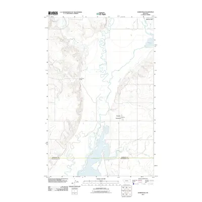
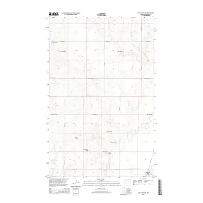
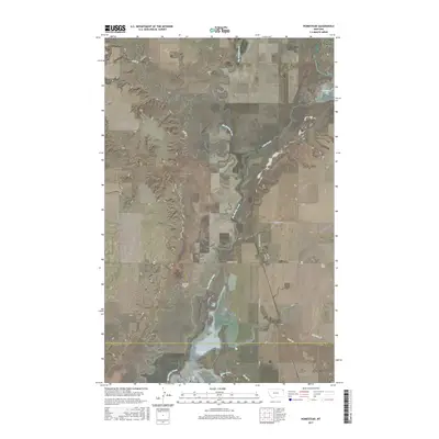
 2011 Alkali Coulee2011 Print · USGSCovers Medicine Lake, including Fort Kipp District, Sheridan County, and other nearby areas
 - 2011 Map of Reserve, 2011 Print
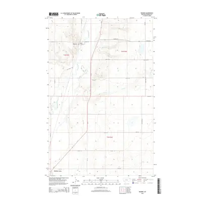
 2011 Reserve2011 Print · USGSCovers Medicine Lake, including Fort Kipp District, Reserve, and other nearby areas
 - 2011 Map of Medicine Lake, 2011 Print
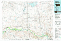
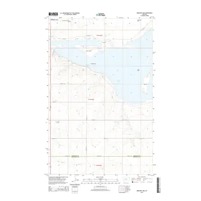
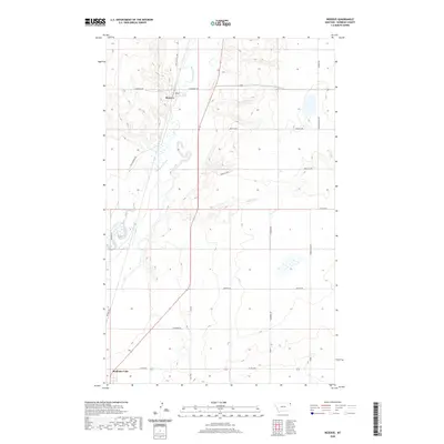
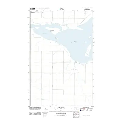 2011 Medicine Lake2011 Print · USGSCovers Medicine Lake, including Roosevelt County, Sheridan County, and other nearby areas
 - 2011 Map of Homestead, 2011 Print
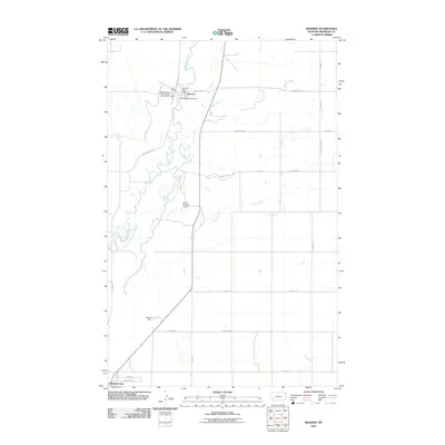
 2011 Homestead2011 Print · USGSCovers Medicine Lake, including Fort Kipp District, Homestead, and other nearby areas
 - 2014 Map of Homestead, 2014 Print
 2014 Homestead2014 Print · USGSCovers Medicine Lake, including Fort Kipp District, Homestead, and other nearby areas
 - 2014 Map of Medicine Lake, 2014 Print
 2014 Medicine Lake2014 Print · USGSCovers Medicine Lake, including Roosevelt County, Sheridan County, and other nearby areas
 - 2014 Map of Alkali Coulee, 2014 Print
 2014 Alkali Coulee2014 Print · USGSCovers Medicine Lake, including Fort Kipp District, Sheridan County, and other nearby areas
 - 2014 Map of Reserve, 2014 Print
 2014 Reserve2014 Print · USGSCovers Medicine Lake, including Fort Kipp District, Reserve, and other nearby areas
 - 2017 Map of Medicine Lake, 2017 Print
 2017 Medicine Lake2017 Print · USGSCovers Medicine Lake, including Roosevelt County, Sheridan County, and other nearby areas
 - 2017 Map of Reserve, 2017 Print
 2017 Reserve2017 Print · USGSCovers Medicine Lake, including Fort Kipp District, Reserve, and other nearby areas
 - 2017 Map of Alkali Coulee, 2017 Print
 2017 Alkali Coulee2017 Print · USGSCovers Medicine Lake, including Fort Kipp District, Sheridan County, and other nearby areas
 - 2017 Map of Homestead, 2017 Print
 2017 Homestead2017 Print · USGSCovers Medicine Lake, including Fort Kipp District, Homestead, and other nearby areas
 - 2020 Map of Reserve, 2020 Print
 2020 Reserve2020 Print · USGSCovers Medicine Lake, including Fort Kipp District, Reserve, and other nearby areas
Showing maps 1-25 of 32
Top cities near Medicine Lake
Frequently asked questions
- What are the different types of historical maps available for Medicine Lake?
- What is the oldest map of Medicine Lake?
- Where can I purchase historical maps of Medicine Lake for my home or office?
- Where can I download high-res historical maps of Medicine Lake?
- Are there historical topographic maps available for Medicine Lake?
- Is there historical aerial imagery available for Medicine Lake?
- Where are historical maps of Medicine Lake sourced from?