
1948 Map of Alkali Coulee
USGS Topo · Published 1977About this map
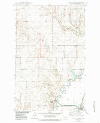
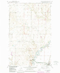
Big Muddy Creek meanders across this northern Montana landscape, anchoring a region defined by the vast Fort Peck Indian Reservation and the early conservation efforts at the Medicine Lake National Wildlife Refuge. The settlement of Medicine Lake sits in the southeast corner along the Great Northern railway, serving as a focal point for the surrounding prairie. Evidence of rural life and early industry is scattered throughout the terrain, from the isolated Rose Valley Sch in the northwest to a small Coal Mine and Gravel Pit located near the southern coulees. The intricate drainage network, including Alkali Coulee, Otter Creek, and Wolf Creek, reveals a landscape carved by seasonal water flow and irrigation projects like Diversion Ditch No 1, which reflect the agricultural adaptations of the mid-20th century.
Find a feature on this map
13 named features on this map. Tap any name to fly to it.
Don’t see what you’re looking for? This feature index may not catch every label — zoom into the map to look around manually.
Map Details
Editions of this 1948 Alkali Coulee Map
3 editions found
Other maps of this area

1914 · Homestead
USGS Topo · 1:62,500

1947 · Homestead
USGS Topo · 1:24,000

1948 · Homestead
USGS Topo · 1:24,000

1948 · Medicine Lake
USGS Topo · 1:24,000

1948 · Reserve
USGS Topo · 1:24,000

1948 · Antelope
USGS Topo · 1:24,000

1949 · Reserve
USGS Topo · 1:24,000

1949 · Antelope
USGS Topo · 1:24,000

1949 · Alkali Coulee
USGS Topo · 1:24,000
1949 · Medicine Lake
USGS Topo · 1:24,000