
1948 Map of Medicine Lake
USGS Topo · Published 1976About this map
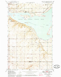
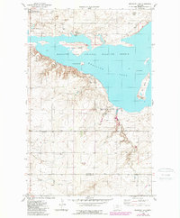
Medicine Lake National Wildlife Refuge dominates this northeastern Montana landscape, where the waters of Medicine Lake provide a stark contrast to the surrounding sectioned plains. The map illustrates a coordinated effort between the Bureau of Reclamation and the Geological Survey to document this critical conservation area in the late 1940s. Shoreline features such as Bruces Island, Youngs Island, and Gull Island are clearly delineated, alongside specialized management infrastructure like the Refuge Headquarters, a Lookout Tower, and the extensive Refuge Patrol Trail.
Find a feature on this map
16 named features on this map. Tap any name to fly to it.
Don’t see what you’re looking for? This feature index may not catch every label — zoom into the map to look around manually.
Map Details
Editions of this 1948 Medicine Lake Map
3 editions found
Other maps of this area

1914 · Homestead
USGS Topo · 1:62,500

1947 · Capeneys Lake
USGS Topo · 1:24,000

1947 · Homestead
USGS Topo · 1:24,000

1948 · Homestead
USGS Topo · 1:24,000

1948 · Capeneys Lake
USGS Topo · 1:24,000

1948 · Reserve SE
USGS Topo · 1:24,000

1948 · Reserve
USGS Topo · 1:24,000

1948 · Alkali Coulee
USGS Topo · 1:24,000

1949 · Reserve SE
USGS Topo · 1:24,000

1949 · Reserve
USGS Topo · 1:24,000