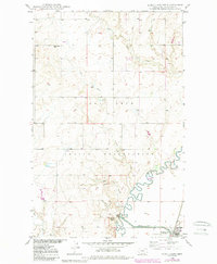
1948 Map of Alkali Coulee
USGS Topo · Published 1989About this map
Big Muddy Creek meanders through the heart of this Sheridan County landscape, where the prairie of northeast Montana meets a managed water system designed for the Missouri River Basin. The territory is split between the Fort Peck Indian Reservation and the Medicine Lake National Wildlife Refuge, reflecting the complex land management of the post-war era. Rural life is anchored by the Rose Valley Sch, while the presence of a Coal Mine and several Gravel Pits points to the area's local resource extraction. Extensive water engineering is evident along the southern edge of the survey, where Diversion Ditch No 1 and various Tanks support both the wildlife refuge and the settlement of Medicine Lake. Numerous coulees, including Alkali Coulee and Sheep Coulee, define the drainage patterns feeding into the larger creek systems.
Find a feature on this map
16 named features on this map. Tap any name to fly to it.
Don’t see what you’re looking for? This feature index may not catch every label — zoom into the map to look around manually.
Map Details
Editions of this 1948 Alkali Coulee Map
3 editions found
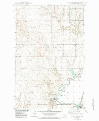
Other maps of this area

1914 · Homestead
USGS Topo · 1:62,500

1947 · Homestead
USGS Topo · 1:24,000

1948 · Homestead
USGS Topo · 1:24,000

1948 · Medicine Lake
USGS Topo · 1:24,000

1948 · Reserve
USGS Topo · 1:24,000

1948 · Alkali Coulee
USGS Topo · 1:24,000

1948 · Antelope
USGS Topo · 1:24,000

1949 · Reserve
USGS Topo · 1:24,000

1949 · Antelope
USGS Topo · 1:24,000

1949 · Alkali Coulee
USGS Topo · 1:24,000