2000s (21st Century) Maps of Butte, Montana
Explore 145 historic maps of Butte from the 2000s (21st Century). These maps offer a rare glimpse into what life looked like during the 2000s — showing old roads, neighborhoods, homes, and landmarks that have changed or disappeared over time.
Whether you're researching your family's past, planning a metal detecting trip, or studying how Butte's landscape evolved across the 2000s, these high-resolution maps are a powerful tool for exploring the history of this region.
- Focus on a specific era: All maps on this page are from the 2000s, giving you a focused view of this time period.
- See what’s changed: Compare century-old streets, trails, and buildings to today's modern landscape using overlays and satellite layers.
- Research with precision: Use these maps for genealogy, historical research, land use analysis, or educational projects.
- View, download, or print: Maps are fully viewable online in high resolution, and can be downloaded or printed for your own records.
Start exploring Butte's history through authentic maps from the 2000s. This is your window into the past.
Butte, MT maps
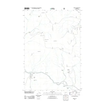
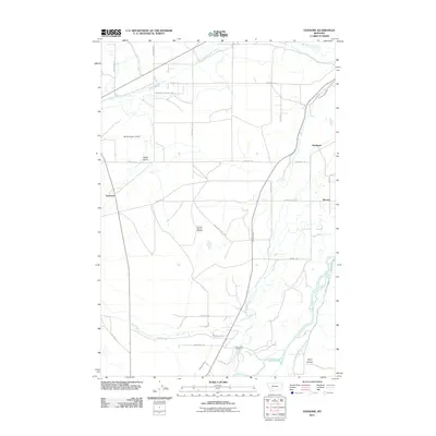
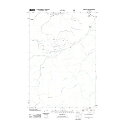
(145)- 2011 Map of Dickie Peak, 2011 Print
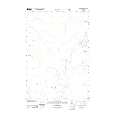 2011 Dickie Peak2011 Print · USGSCovers Butte, including French Town, Silver Bow County, and other nearby areas
 - 2011 Map of Burnt Mountain, 2011 Print
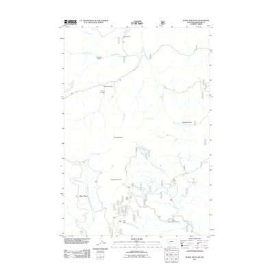 2011 Burnt Mountain2011 Print · USGSCovers Butte, including Sciuchetti Place, Delano Place, and other nearby areas
 - 2011 Map of Earls Gulch, 2011 Print
 2011 Earls Gulch2011 Print · USGSCovers Butte, including Silver Bow County, Beaverhead County, and other nearby areas
 - 2011 Map of Wickiup Creek, 2011 Print
 2011 Wickiup Creek2011 Print · USGSCovers Butte, including Silver Bow County, Madison County, and other nearby areas
 - 2011 Map of Buxton, 2011 Print
 2011 Buxton2011 Print · USGSCovers Butte, including Feely, Buxton, and other nearby areas
 - 2011 Map of Silver Star, 2011 Print
 2011 Silver Star2011 Print · USGSCovers Butte, including Silver Star, Silver Bow County, and other nearby areas
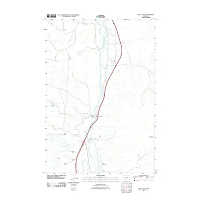
 - 2011 Map of Table Mountain, 2011 Print
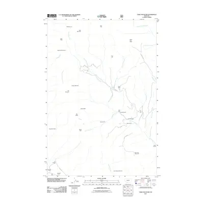 2011 Table Mountain2011 Print · USGSCovers Butte, including Silver Bow County, Madison County, and other nearby areas
 - 2011 Map of Tucker Creek, 2011 Print
 2011 Tucker Creek2011 Print · USGSCovers Butte, including Divide, Johnson, and other nearby areas
 - 2011 Map of Grace, 2011 Print
 2011 Grace2011 Print · USGSCovers Butte, including Cedric, Grace, and other nearby areas
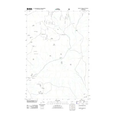
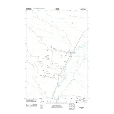
 - 2011 Map of Wise River, 2011 Print
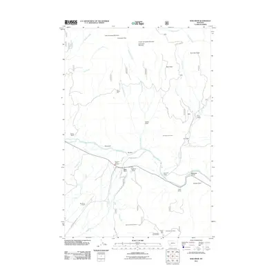 2011 Wise River2011 Print · USGSCovers Butte, including Patterson Corner, Wise River, and other nearby areas
 - 2011 Map of Mount Humbug, 2011 Print
 2011 Mount Humbug2011 Print · USGSCovers Butte, including Moose Town, Silver Bow County, and other nearby areas
 - 2011 Map of Dewey, 2011 Print
 2011 Dewey2011 Print · USGSCovers Butte, including Dewey, Silver Bow County, and other nearby areas
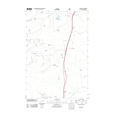
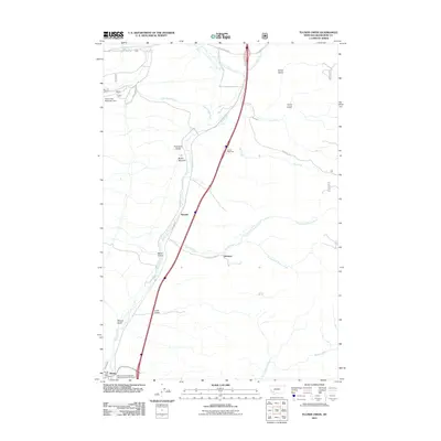
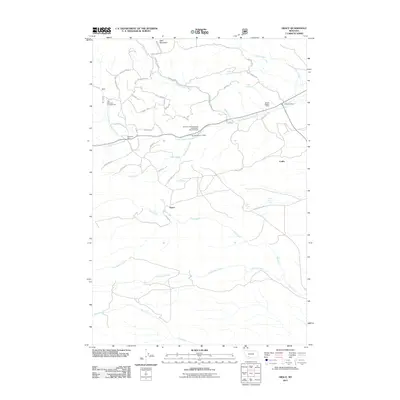
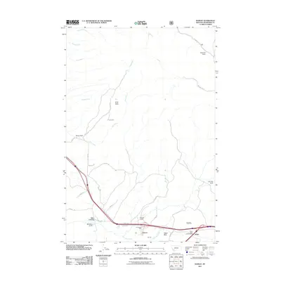
 - 2011 Map of Melrose, 2011 Print
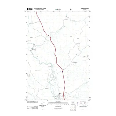 2011 Melrose2011 Print · USGSCovers Butte, including Melrose, Quinn, and other nearby areas
 - 2011 Map of Waterloo, 2011 Print
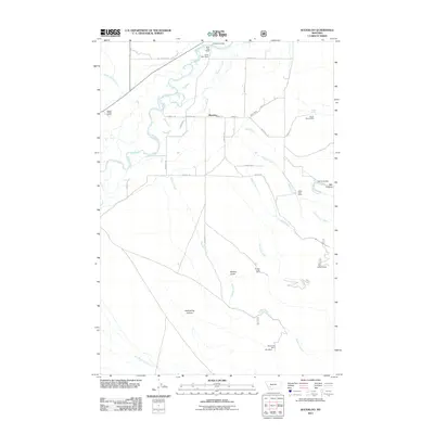 2011 Waterloo2011 Print · USGSCovers Butte, including Waterloo, Silver Bow County, and other nearby areas
 - 2011 Map of Homestake, 2011 Print
 2011 Homestake2011 Print · USGSCovers Butte, including Homestake, Nine-mile, and other nearby areas
 - 2011 Map of Pipestone Pass, 2011 Print
 2011 Pipestone Pass2011 Print · USGSCovers Butte, including Donald, Silver Bow County, and other nearby areas
 - 2011 Map of Vendome, 2011 Print
 2011 Vendome2011 Print · USGSCovers Butte, including Vendome, Renova, and other nearby areas
 - 2011 Map of Lincoln Gulch, 2011 Print
 2011 Lincoln Gulch2011 Print · USGSCovers Butte, including Silver Bow County, Beaverhead County, and other nearby areas
 - 2011 Map of Dickie Hills, 2011 Print
 2011 Dickie Hills2011 Print · USGSCovers Butte, including Silver Bow County, Beaverhead County, and other nearby areas
 - 2011 Map of Orofino Mountain, 2011 Print
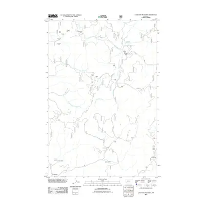
 2011 Orofino Mountain2011 Print · USGSCovers Butte, including Silver Bow County, Deer Lodge County, and other nearby areas
 - 2011 Map of Anaconda South, 2011 Print
 2011 Anaconda South2011 Print · USGSCovers Butte, including Mill Creek, Sunnyside, and other nearby areas
 - 2011 Map of Ramsay, 2011 Print
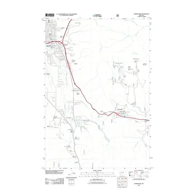
 2011 Ramsay2011 Print · USGSCovers Butte, including Ramsay, Silver Bow, and other nearby areas
 - 2011 Map of Lockhart Meadows, 2011 Print
 2011 Lockhart Meadows2011 Print · USGSCovers Butte, including Silver Bow County, Jefferson County, and other nearby areas
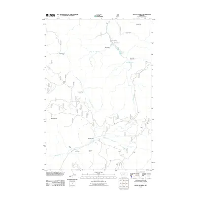
 - 2011 Map of Warm Springs, 2011 Print
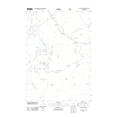
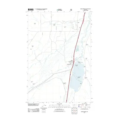 2011 Warm Springs2011 Print · USGSCovers Butte, including Galen, Morel, and other nearby areas
 - 2011 Map of Cattle Gulch, 2011 Print
 2011 Cattle Gulch2011 Print · USGSCovers Butte, including Glendale, Silver Bow County, and other nearby areas
Showing maps 1-25 of 145
Top cities near Butte
Top neighborhoods of Butte
- Rocker historical maps
- Sciuchetti Place historical maps
- Williamsburg historical maps
- Grace historical maps
- Nine-mile historical maps
- Janney historical maps
See more
Frequently asked questions
- What are the different types of historical maps available for Butte?
- What is the oldest map of Butte?
- Where can I purchase historical maps of Butte for my home or office?
- Where can I download high-res historical maps of Butte?
- Are there historical topographic maps available for Butte?
- Is there historical aerial imagery available for Butte?
- Where are historical maps of Butte sourced from?