Old Maps of Columbus, Montana for Academic Research
Study the evolution of Columbus with 23 high-resolution historic maps. Whether you're teaching, researching, or modeling changes in land use, these maps provide essential visual documentation of urban, environmental, and geographic change.
- Analyze long-term change: Track patterns in development, transportation, and natural features.
- Ideal for environmental or urban studies: Support academic projects with primary historical map data.
- Use in the classroom or lab: Educators and researchers rely on these maps to bring historical context to life.
These maps are a powerful tool for teaching, research, and visualizing how Columbus has changed over the decades.
Columbus, MT maps
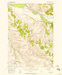
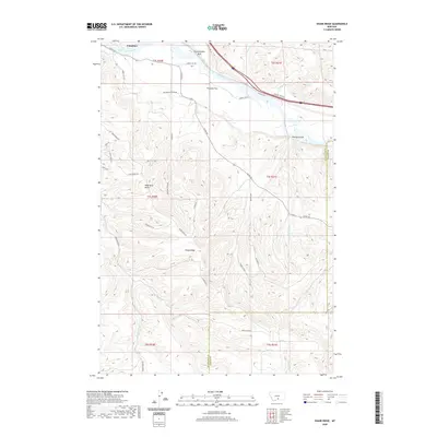
(23)- 1892 Map of Stillwater
 1892 Stillwater1892 Print · USGSThe Yellowstone valley in the late nineteenth century was a corridor of rapid transition as the railroad moved westward alongside the Crow Indian Reservation. Researchers can trace early river crossings and pioneer settlements such as Merrill, Stillwater, and the Ford at Youngs Point.4 unique versions available
 - 1954 Map of Billings, 1963 Print
 1954 Billings1963 Print · USGSThe Yellowstone valley during the mid-fifties shows a landscape of thriving rail towns and high-mountain outposts. Genealogists and historians can trace old homesteads and mining routes near Red Lodge, Bearcreek, and along the Bighorn River.4 unique versions available
 - 1956 Map of Columbus West, 1957 Print
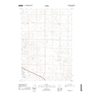
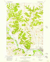 1956 Columbus West1957 Print · USGSThe Stillwater Valley comes into focus in the mid-1950s at the junction of the Yellowstone River and the Northern Pacific. Trace the irrigation canals and rail sidings that shaped Columbus and nearby Carlton.2 unique versions available
 - 1956 Map of Shane Ridge, 1957 Print
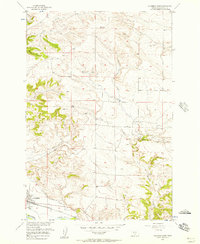
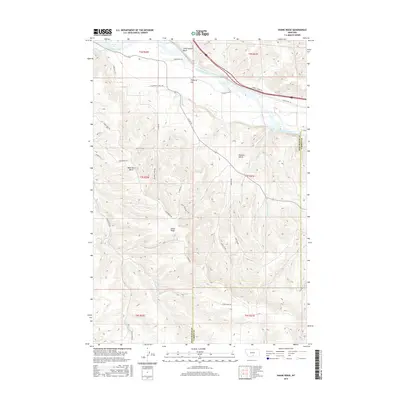
 1956 Shane Ridge1957 Print · USGSThe Stillwater County river valley and surrounding uplands are captured here in the mid-1950s. Genealogists and historians can trace rural schoolhouse locations like Standard Sch and Shane Creek Sch or follow the path of the Northern Pacific.2 unique versions available
 - 1956 Map of Columbus East, 1957 Print
 1956 Columbus East1957 Print · USGSThe Stillwater Valley comes into sharp focus during the mid-fifties as the Northern Pacific and irrigation projects shaped the land. Researchers can trace the path of the Columbus Water Users Association Ditch and locate the local Landing Field or a lonely Grave.2 unique versions available
 - 1957 Map of Billings
 1957 Billings1957 Print · USGSThe Yellowstone River valley and the rugged Beartooth Mountains meet in the mid-1950s near the growing hub of Billings. Genealogists and researchers can trace rail and ranching history through river towns like Columbus, the mining heritage of Red Lodge, and the vast Crow Indian Reservation.
 - 1958 Map of Billings
 1958 Billings1958 Print · USGSMid-century Montana comes alive in this survey of the Yellowstone Valley as the regional rail and road networks reached their peak. Trace family roots and old routes near Billings, the Crow Indian Reservation, and the heights of the Beartooth Mountains.2 unique versions available
 - 1979 Map of Big Timber
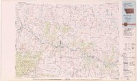 1979 Big Timber1979 Print · USGSThe Yellowstone River valley is the lifeline of this Montana region in the late seventies, where rail and road connect historic river towns. Trace the development of communities like Big Timber and Columbus, or locate rural landmarks like Ross Mine and Riverside Inn.
 - 2011 Map of Columbus West, 2011 Print
 2011 Columbus West2011 Print · USGSCovers Columbus, including H and H Trailer Court, Valley Vista Trailer Park, and other nearby areas
 - 2011 Map of Columbus East, 2011 Print
 2011 Columbus East2011 Print · USGSCovers Columbus, including Carr Trailer Court, Stillwater County, and other nearby areas
 - 2011 Map of Shane Ridge, 2011 Print
 2011 Shane Ridge2011 Print · USGSCovers Columbus, including Carbon County, Stillwater County, and other nearby areas
 - 2014 Map of Shane Ridge, 2014 Print
 2014 Shane Ridge2014 Print · USGSCovers Columbus, including Carbon County, Stillwater County, and other nearby areas
 - 2014 Map of Columbus East, 2014 Print
 2014 Columbus East2014 Print · USGSCovers Columbus, including Carr Trailer Court, Stillwater County, and other nearby areas
 - 2014 Map of Columbus West, 2014 Print
 2014 Columbus West2014 Print · USGSCovers Columbus, including H and H Trailer Court, Valley Vista Trailer Park, and other nearby areas
 - 2017 Map of Columbus West, 2017 Print
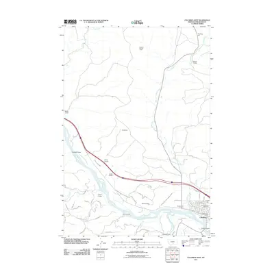
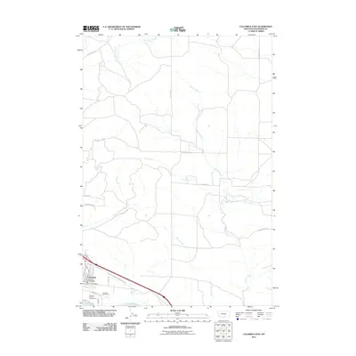
 2017 Columbus West2017 Print · USGSCovers Columbus, including H and H Trailer Court, Valley Vista Trailer Park, and other nearby areas
 - 2017 Map of Columbus East, 2017 Print
 2017 Columbus East2017 Print · USGSCovers Columbus, including Carr Trailer Court, Stillwater County, and other nearby areas
 - 2017 Map of Shane Ridge, 2017 Print
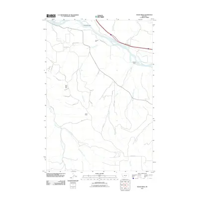
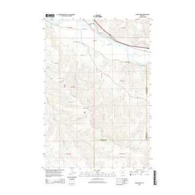
 2017 Shane Ridge2017 Print · USGSCovers Columbus, including Carbon County, Stillwater County, and other nearby areas
 - 2020 Map of Columbus East, 2020 Print
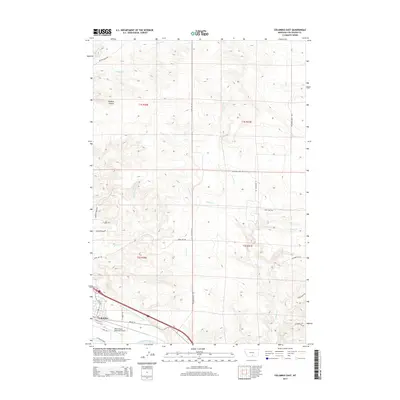
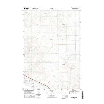
 2020 Columbus East2020 Print · USGSCovers Columbus, including Carr Trailer Court, Stillwater County, and other nearby areas
 - 2020 Map of Shane Ridge, 2020 Print
 2020 Shane Ridge2020 Print · USGSCovers Columbus, including Carbon County, Stillwater County, and other nearby areas
 - 2020 Map of Columbus West, 2020 Print
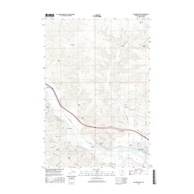
 2020 Columbus West2020 Print · USGSCovers Columbus, including H and H Trailer Court, Valley Vista Trailer Park, and other nearby areas
 - 2024 Map of Shane Ridge, 2024 Print
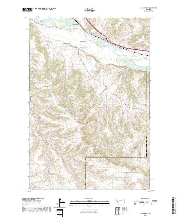 2024 Shane Ridge2024 Print · USGSAlong the southern banks of the Yellowstone River in the 2020s, this landscape shows a blend of high-plains ranching and river-valley irrigation. Trace the path of the Shane Ditch or locate family-named landmarks like Countrymans Bluff and Wash Bowl Butte.
 - 2024 Map of Columbus West, 2024 Print
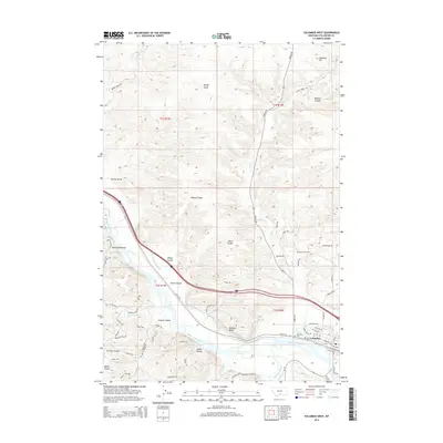
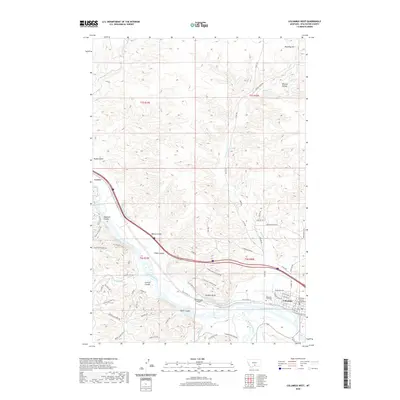
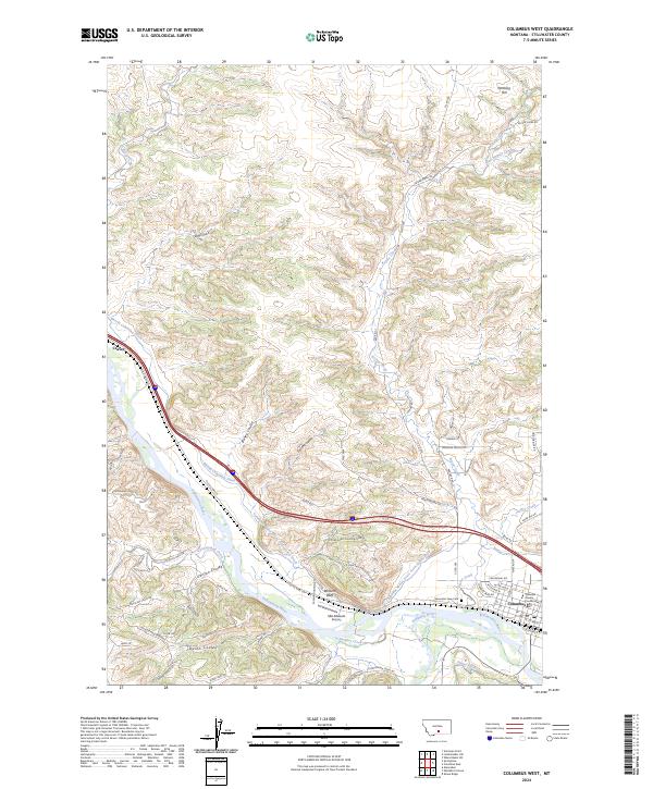 2024 Columbus West2024 Print · USGSThe confluence of the Yellowstone and Stillwater rivers defines this Montana landscape. Researchers can trace the layout of Columbus, including the Stillwater County Courthouse and Mountain View Cem, alongside the intricate Merrill Columbus Ditch system.
 - 2024 Map of Columbus East, 2024 Print
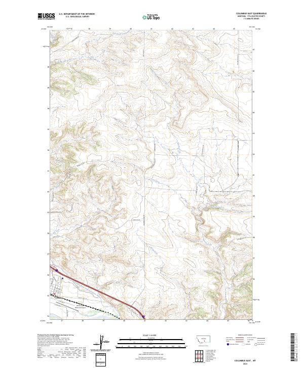 2024 Columbus East2024 Print · USGSThe Stillwater County landscape near Columbus is captured here in its modern agricultural and aviation context. Trace the path of the Columbus Water Users Association Ditch and landmarks like the Woltermann Memorial Airport.
End of results
Showing maps 1-23 of 23
Top cities near Columbus
Top neighborhoods of Columbus
- Carr Trailer Court historical maps
- Valley Vista Trailer Park historical maps
- H and H Trailer Court historical maps
Frequently asked questions
- What are the different types of historical maps available for Columbus?
- What is the oldest map of Columbus?
- Where can I purchase historical maps of Columbus for my home or office?
- Where can I download high-res historical maps of Columbus?
- Are there historical topographic maps available for Columbus?
- Is there historical aerial imagery available for Columbus?
- Where are historical maps of Columbus sourced from?