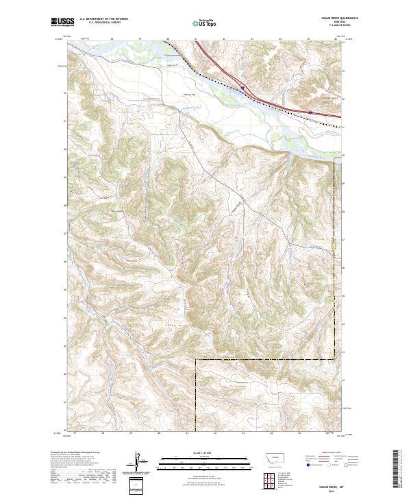
2024 Map of Shane Ridge
USGS Topo · Published 2024About this map
The Yellowstone River cuts across the northern edge of this Montana landscape, a region defined by the dramatic transition from the river valley to the elevated Shane Ridge in the south. The area maintains a rural, agricultural character, evidenced by the extensive irrigation networks of Shane Ditch and Cove Ditch that draw from the river to water Flaherty Flat. Private aviation is represented by the Firebuster Airport perched near the bluffs above the river.
Find a feature on this map
43 named features on this map. Tap any name to fly to it.
Don’t see what you’re looking for? This feature index may not catch every label — zoom into the map to look around manually.
Map Details
Editions of this 2024 Shane Ridge Map
This is the sole edition of this map. No revisions or reprints were ever made.
Other maps of this area

1892 · Stillwater
USGS Topo · 1:125,000

1932 · Red Lodge No 2
USGS Topo · 1:48,000

1932 · Red Lodge No 1
USGS Topo · 1:48,000

1954 · Billings
USGS Topo · 1:250,000

1955 · Whitebird School
USGS Topo · 1:24,000

1956 · Columbus West
USGS Topo · 1:24,000

1956 · Shane Ridge
USGS Topo · 1:24,000

1956 · Horse Butte
USGS Topo · 1:24,000

1956 · Columbus East
USGS Topo · 1:24,000

1956 · Roscoe NE
USGS Topo · 1:24,000