
1956 Map of Horse Butte
USGS Topo · Published 1957About this map
Horse Butte rises as a prominent landmark in this Stillwater County landscape, which was surveyed during the mid-1950s as part of the Missouri River Basin development program. The terrain is defined by a series of drainages, including the branching reaches of North Fork Cottonwood Creek and South Fork Cottonwood Creek, as well as the headwaters of Swamp Creek and Dry Creek.
Find a feature on this map
18 named features on this map. Tap any name to fly to it.
Don’t see what you’re looking for? This feature index may not catch every label — zoom into the map to look around manually.
Map Details
Editions of this 1956 Horse Butte Map
2 editions found
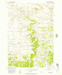
Other maps of this area

1892 · Stillwater
USGS Topo · 1:125,000

1954 · Billings
USGS Topo · 1:250,000

1956 · Hunter Lake
USGS Topo · 1:24,000

1956 · Shane Ridge
USGS Topo · 1:24,000

1956 · Molt
USGS Topo · 1:24,000

1956 · Columbus East
USGS Topo · 1:24,000

1956 · Rapids
USGS Topo · 1:24,000

1956 · Park City
USGS Topo · 1:24,000
1956 · Wheat Basin SW
USGS Topo · 1:24,000
1956 · Montaqua
USGS Topo · 1:24,000