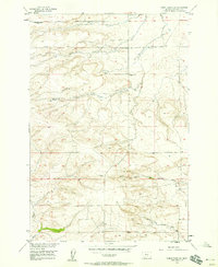
1956 Map of Wheat Basin SW
USGS Topo · Published 1958About this map
Holland Settlement Cemetery serves as a central point of interest in this 1950s study of Stillwater County, providing a tangible link to the area's early homesteading families. The landscape is defined by the drainage patterns of Struck Creek and Toll Creek to the north, while the southern terrain is bisected by the North Fork Valley Creek and South Fork Valley Creek.
Find a feature on this map
12 named features on this map. Tap any name to fly to it.
Don’t see what you’re looking for? This feature index may not catch every label — zoom into the map to look around manually.
Map Details
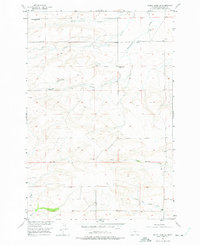
Editions of this 1956 Wheat Basin SW Map
2 editions found
Other maps of this area

1892 · Stillwater
USGS Topo · 1:125,000

1954 · Billings
USGS Topo · 1:250,000

1956 · Columbus West
USGS Topo · 1:24,000

1956 · Rapelje
USGS Topo · 1:24,000

1956 · Hunter Lake
USGS Topo · 1:24,000

1956 · Battle Butte
USGS Topo · 1:24,000

1956 · Horse Butte
USGS Topo · 1:24,000

1956 · Wheat Basin
USGS Topo · 1:24,000

1956 · Columbus East
USGS Topo · 1:24,000

1956 · Lindemulder Hill
USGS Topo · 1:24,000