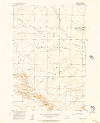
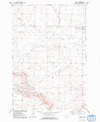
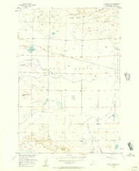
1956 Map of Rapelje
USGS Topo · Published 1957About this map
The town of Rapelje serves as the primary hub of this Stillwater County landscape, established near the eastern edge of the expansive Lake Basin. In the mid-1950s, the area's agricultural and industrial character is defined by a network of drainage features like Middle Creek, Cummin Creek, and Cedar Creek, alongside small-scale extraction sites such as a Gravel Pit and a Strip Mine. Smaller named locales including Busteed and McNally indicate the dispersed nature of settlement across these high plains.
Find a feature on this map
24 named features on this map. Tap any name to fly to it.
Don’t see what you’re looking for? This feature index may not catch every label — zoom into the map to look around manually.
Map Details
Editions of this 1956 Rapelje Map
2 editions found
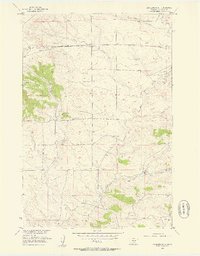
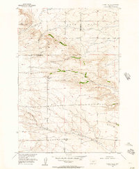
Other maps of this area

1889 · Big Snowy Mountain
USGS Topo · 1:250,000

1892 · Stillwater
USGS Topo · 1:125,000

1893 · Big Snowy Mountain
USGS Topo · 1:250,000

1954 · Billings
USGS Topo · 1:250,000

1954 · Roundup
USGS Topo · 1:250,000
1955 · Antelope Point
USGS Topo · 1:24,000
1955 · Russell Gulch
USGS Topo · 1:24,000
1956 · Battle Butte
USGS Topo · 1:24,000
1956 · Lindemulder Hill
USGS Topo · 1:24,000
1956 · Wheat Basin SW
USGS Topo · 1:24,000