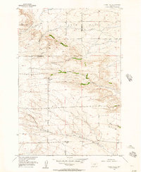
1955 Map of Russell Gulch
USGS Topo · Published 1957About this map
Lake Basin provides the topographic backdrop for this mid-century survey of the rugged ranching and drainage country straddling the Sweet Grass and Stillwater County line. The landscape is defined by an intricate network of waterways, including Russell Gulch and the winding course of Cedar Creek, which branches into its North Fork and South Fork. These drainages served as the primary landmarks for the isolated rural community of the era.
Find a feature on this map
15 named features on this map. Tap any name to fly to it.
Don’t see what you’re looking for? This feature index may not catch every label — zoom into the map to look around manually.
Map Details
Editions of this 1955 Russell Gulch Map
This is the sole edition of this map. No revisions or reprints were ever made.
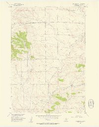
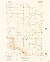
Other maps of this area

1889 · Big Snowy Mountain
USGS Topo · 1:250,000

1891 · Big Timber
USGS Topo · 1:125,000

1892 · Stillwater
USGS Topo · 1:125,000

1893 · Big Snowy Mountain
USGS Topo · 1:250,000

1893 · Big Timber
USGS Topo · 1:125,000

1954 · Billings
USGS Topo · 1:250,000

1954 · Roundup
USGS Topo · 1:250,000
1955 · Antelope Point
USGS Topo · 1:24,000

1955 · Stephens Hill
USGS Topo · 1:24,000
1956 · Rapelje
USGS Topo · 1:24,000