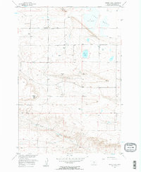
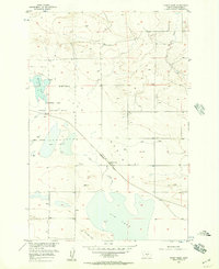
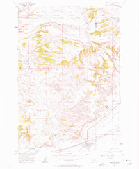
1956 Map of Hunter Lake
USGS Topo · Published 1957About this map
Lake Basin dominates this portion of Stillwater County, showing a landscape defined by expansive topographic depressions and the ridges that frame them. The area around Hunter Lake and the larger Big Lake reflects a mid-century rural infrastructure dependent on the land's natural resources and isolated homesteads. Evidence of the region's energy and mineral industry is visible through the Oil Wells, Oil Tanks, and a Quarry, while a Pipeline and Ditch trace the management of water and fuel across the terrain.
Find a feature on this map
22 named features on this map. Tap any name to fly to it.
Don’t see what you’re looking for? This feature index may not catch every label — zoom into the map to look around manually.
Map Details
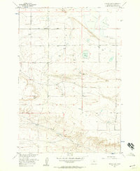
Editions of this 1956 Hunter Lake Map
2 editions found
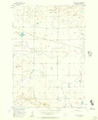
Other maps of this area

1892 · Stillwater
USGS Topo · 1:125,000

1954 · Billings
USGS Topo · 1:250,000
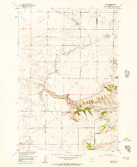
1956 · Battle Butte
USGS Topo · 1:24,000
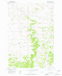
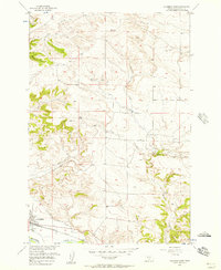
1956 · Horse Butte
USGS Topo · 1:24,000
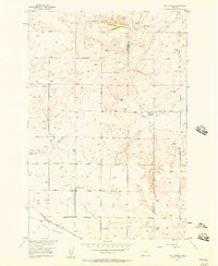
1956 · Molt
USGS Topo · 1:24,000
1956 · Wheat Basin
USGS Topo · 1:24,000
1956 · Rock Spring
USGS Topo · 1:24,000
1956 · Columbus East
USGS Topo · 1:24,000
1956 · Park City
USGS Topo · 1:24,000
1956 · Wheat Basin SW
USGS Topo · 1:24,000