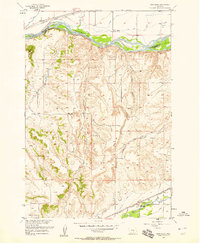
1956 Map of Montaqua
USGS Topo · Published 1958About this map
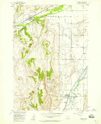
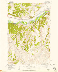
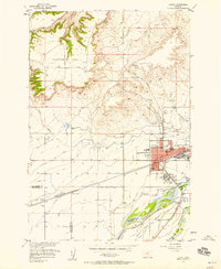
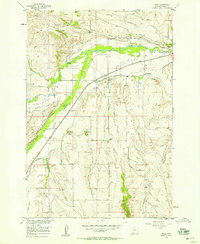
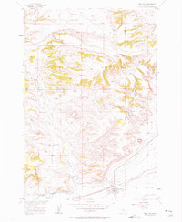
The Yellowstone River cuts through the northern reaches of this Montana landscape, where the Northern Pacific railroad follows the valley floor alongside an intricate network of irrigation features including Ditch and Canal systems. Further south, the terrain rises toward Harris Hill and the distinctive VABM Flattop, eventually descending into the drainage of Rock Creek. The settlement of Montaqua is a focal point near the southern map boundary, notable for the Mont Aqua Hot Spring and nearby Artesian Well. This area reflects the mid-century agricultural and industrial infrastructure of the region, evidenced by the Gravel Pit near Valley Creek and the various named coulees and gulches like Peck Gulch and Farewell Creek that define the local topography.
Find a feature on this map
27 named features on this map. Tap any name to fly to it.
Don’t see what you’re looking for? This feature index may not catch every label — zoom into the map to look around manually.
Map Details
Editions of this 1956 Montaqua Map
2 editions found
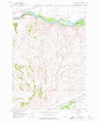
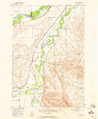
Other maps of this area

1892 · Stillwater
USGS Topo · 1:125,000

1932 · Red Lodge No 1
USGS Topo · 1:48,000

1954 · Billings
USGS Topo · 1:250,000
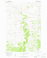
1956 · Horse Butte
USGS Topo · 1:24,000
1956 · Silesia
USGS Topo · 1:24,000
1956 · Fromberg
USGS Topo · 1:24,000
1956 · Rapids
USGS Topo · 1:24,000
1956 · Laurel
USGS Topo · 1:24,000
1956 · Boyd
USGS Topo · 1:24,000
1956 · Park City
USGS Topo · 1:24,000