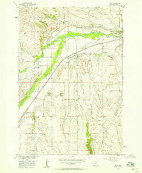
1956 Map of Boyd
USGS Topo · Published 1958About this map
The Northern Pacific railroad corridor anchors the landscape of this 1950s survey, following the valley of Rock Creek through Carbon County. The small settlement of Boyd serves as a central point for local commerce and transportation, situated along the rail line near several agricultural irrigation systems like the Sabo Johnson Curry Ditch and the Leimback Ditch. These waterways, along with numerous siphons and flumes, reflect the intensive land use required for ranching and farming in the region.
Find a feature on this map
31 named features on this map. Tap any name to fly to it.
Don’t see what you’re looking for? This feature index may not catch every label — zoom into the map to look around manually.
Map Details
Editions of this 1956 Boyd Map
2 editions found
Other maps of this area

1892 · Stillwater
USGS Topo · 1:125,000

1932 · Red Lodge No 1
USGS Topo · 1:48,000

1954 · Billings
USGS Topo · 1:250,000

1956 · Bridger
USGS Topo · 1:24,000

1956 · Shane Ridge
USGS Topo · 1:24,000

1956 · Fromberg
USGS Topo · 1:24,000

1956 · Rapids
USGS Topo · 1:24,000

1956 · Roberts
USGS Topo · 1:24,000

1956 · The Big Slide
USGS Topo · 1:24,000
1956 · Cooney Reservoir
USGS Topo · 1:24,000