
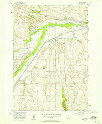
1956 Map of Roberts
USGS Topo · Published 1958About this map
The Northern Pacific railroad corridor defines the development of this Carbon County landscape, following the fertile valley floor of Rock Creek as it cuts between the prominent elevations of West Bench and East Bench. At the northern end, the village of Roberts serves as a local hub, featuring the St Thomas Ch and the Roberts Cem. Further south, the map reveals the cultural footprint of rural settlement through features like Finnish Hall and the Fox Sch near the settlement of Fox.
Find a feature on this map
31 named features on this map. Tap any name to fly to it.
Don’t see what you’re looking for? This feature index may not catch every label — zoom into the map to look around manually.
Map Details
Editions of this 1956 Roberts Map
This is the sole edition of this map. No revisions or reprints were ever made.
Other maps of this area

1932 · Red Lodge No 2
USGS Topo · 1:48,000

1932 · Red Lodge No 1
USGS Topo · 1:48,000

1944 · Red Lodge
USGS Topo · 1:62,500

1954 · Billings
USGS Topo · 1:250,000

1956 · Roscoe NE
USGS Topo · 1:24,000

1956 · Mount Maurice
USGS Topo · 1:62,500

1956 · Castagne
USGS Topo · 1:24,000
1956 · Boyd
USGS Topo · 1:24,000

1956 · The Big Slide
USGS Topo · 1:24,000
1956 · Cooney Reservoir
USGS Topo · 1:24,000