Old Maps of Big Timber, Montana for Metal Detecting
Plan your next treasure hunt with 12 historic maps of Big Timber. Find old homesites, ghost towns, trails, and gathering spots that may be lost to time — perfect for identifying promising metal detecting locations.
- Locate forgotten sites: Uncover places like long-lost settlements, abandoned rail lines, or gathering spots.
- Plan better hunts: Use map overlays combined with LiDAR or satellite views to narrow in on historically rich areas.
- Made for detectorists: Thousands of hobbyists use these maps to discover relics, coins, and hidden history.
Use these historic maps to boost your research and find new opportunities beneath the surface of Big Timber.
Big Timber, MT maps
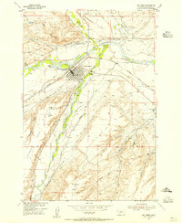
(12)- 1891 Map of Big Timber
 1891 Big Timber1891 Print · USGSMontana ranching country and the Yellowstone valley are captured here in the late nineteenth century. Trace the early Northern Pacific Railroad line through Big Timber and Greycliff, or locate the Harrison Ferry crossing.
 - 1893 Map of Big Timber
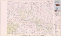
 1893 Big Timber1893 Print · USGSBig Timber and the Yellowstone valley appear here during the expansion of the rail-and-river economy in the late nineteenth century. Researchers can trace the original Northern Pacific Railroad route and locate early river crossings like Harrison Ferry and settlements at Greycliff.4 unique versions available
 - 1954 Map of Big Timber, 1956 Print
 1954 Big Timber1956 Print · USGSBig Timber and the surrounding Sweet Grass ranchlands are captured here in the mid-fifties, centered on the strategic confluence of the Yellowstone River and Boulder River. Genealogists and local historians can trace rural school districts like Standard Sch and Dry Creek Sch alongside the intricate Pioneer Ditch irrigation system.3 unique versions available
 - 1954 Map of Billings, 1963 Print
 1954 Billings1963 Print · USGSThe Yellowstone valley during the mid-fifties shows a landscape of thriving rail towns and high-mountain outposts. Genealogists and historians can trace old homesteads and mining routes near Red Lodge, Bearcreek, and along the Bighorn River.4 unique versions available
 - 1957 Map of Billings
 1957 Billings1957 Print · USGSThe Yellowstone River valley and the rugged Beartooth Mountains meet in the mid-1950s near the growing hub of Billings. Genealogists and researchers can trace rail and ranching history through river towns like Columbus, the mining heritage of Red Lodge, and the vast Crow Indian Reservation.
 - 1958 Map of Billings
 1958 Billings1958 Print · USGSMid-century Montana comes alive in this survey of the Yellowstone Valley as the regional rail and road networks reached their peak. Trace family roots and old routes near Billings, the Crow Indian Reservation, and the heights of the Beartooth Mountains.2 unique versions available
 - 1979 Map of Big Timber
 1979 Big Timber1979 Print · USGSThe Yellowstone River valley is the lifeline of this Montana region in the late seventies, where rail and road connect historic river towns. Trace the development of communities like Big Timber and Columbus, or locate rural landmarks like Ross Mine and Riverside Inn.
 - 2011 Map of Big Timber, 2011 Print
 2011 Big Timber2011 Print · USGSCovers Big Timber, including Sweet Grass County, United States, and other nearby areas
 - 2014 Map of Big Timber, 2014 Print
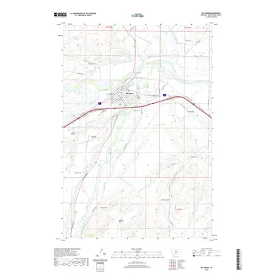
 2014 Big Timber2014 Print · USGSCovers Big Timber, including Sweet Grass County, United States, and other nearby areas
 - 2017 Map of Big Timber, 2017 Print
 2017 Big Timber2017 Print · USGSCovers Big Timber, including Sweet Grass County, United States, and other nearby areas
 - 2020 Map of Big Timber, 2020 Print
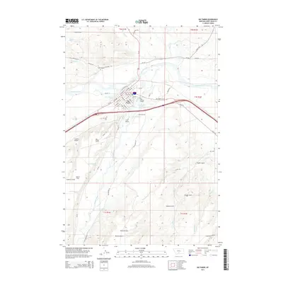
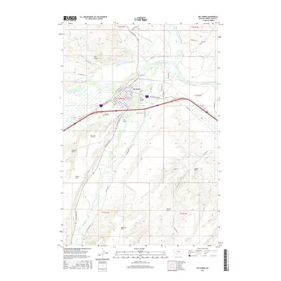
 2020 Big Timber2020 Print · USGSCovers Big Timber, including Sweet Grass County, United States, and other nearby areas
 - 2024 Map of Big Timber, 2024 Print
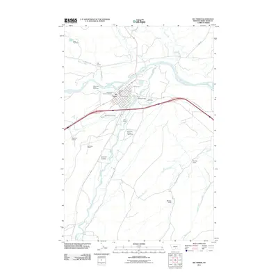
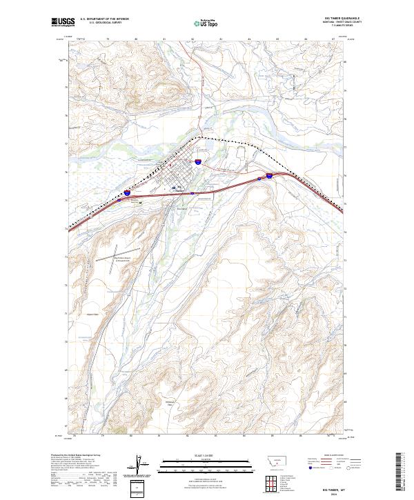 2024 Big Timber2024 Print · USGSBig Timber and the Yellowstone River valley are shown here in recent years, revealing the town's growth and its deep ties to the surrounding landscape. Genealogists and researchers can locate Mountain View Cem, the Sweet Grass County Courthouse, and an extensive network of historic irrigation works like Pioneer Ditch.
End of results
Showing maps 1-12 of 12
Frequently asked questions
- What are the different types of historical maps available for Big Timber?
- What is the oldest map of Big Timber?
- Where can I purchase historical maps of Big Timber for my home or office?
- Where can I download high-res historical maps of Big Timber?
- Are there historical topographic maps available for Big Timber?
- Is there historical aerial imagery available for Big Timber?
- Where are historical maps of Big Timber sourced from?